October 22, 2020
After an incredibly warm, dry and all-round lovely autumn, it came to an abrupt end with snow. A lot of snow! So much snow, that this is the earliest that our local nordic centre in West Bragg Creek has ever started grooming.
As an avid skier, I could not wait to get out there. Wanting to avoid crowds, visit some less frequented areas, and using our skis as a quick approach, my husband Mike and I headed back to Sheep River Provincial Park to tackle some easy mountains with long approaches.
Optimist vs Realist
When planning trips, I am an eternal optimist. I love pouring over maps, picking out routes, and building my day. I had big plans for this trip – Little Ware, to Mount Ware, over to Surveyor’s Ridge, and then finishing the loop at Volcano Ridge. It is totally doable at 17.5 km and 939 m of elevation gain and loss. Even easier on my light touring skis to eat up the long stretches of flat approach time.
Unfortunately, reality sometimes gets in the way of my eternal optimism. While we did indeed have lots of snow for skiing, there was zero base. This meant that only about 50% of the trail was quality, skiable snow. The rest was marginal with hidden sharks waiting to take a bite out of my bases. We had to strap the skis to our packs for the ascent of Little Ware. All in, there was too much time fooling around to get this trip done with the shorter days.
In the end, we did a loop around Little Ware, going up the ridge route and coming down via the gully. The skis were still a good idea though as the snow was pretty deep. The ski back on our tracks was indeed nice and fast, and worth the effort.
Gear
Most people will do this as a hike, so bring your hiking boots, poles and regular daypack kit. If going on shoulder season, also bring gators, spikes and snowshoes for the deep snow. Black bears and cougars are abundant.
Overview
From the Gorge Creek Day Use area, head west on the main trail. At about 1 km, cross Gorge Creek at the bridge. After another 100 m, turn left and follow the Gorge Creek trail. At about 2.8 km, look for the trail heading up and to the right. This is the Little Ware East Ridge route. Follow the ridge to the summit of Little Ware. To return, retrace your steps down the ridge, or continue past the summit to the wide col between Little Ware and Mount Ware. From here, head straight south down the gully. Connect up with the Gorge Creek Trail, turn left and head back to parking lot.
Trail Head
Park at the Gorge Creek Day Use area. As we found out, this road is not maintained. We were the first (and only!) vehicle here all day, and our front bumper was acting like a snowplow.

At the south end of the lot, pick up the main trail heading west. After about 30 or so metres is where you’ll find the first trail sign, oddly facing away from you.


Main Trail
Stay on this main trail for 1 km.

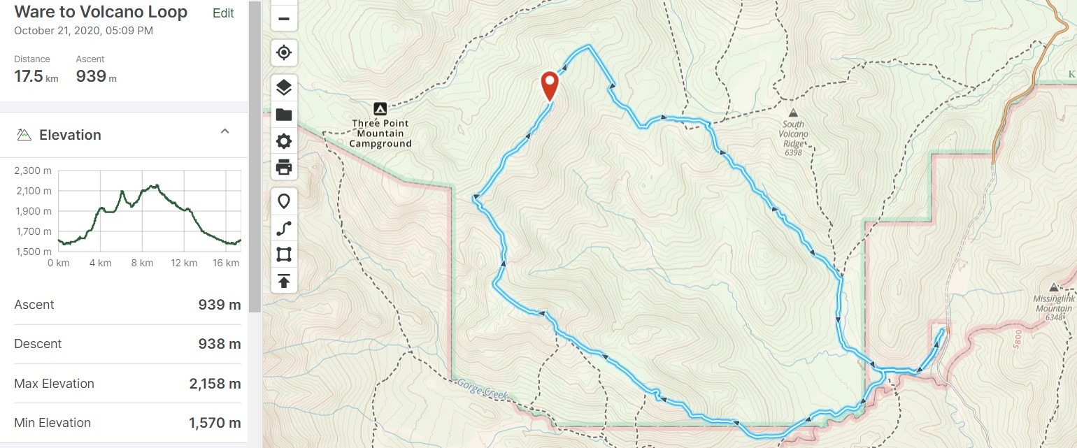
Cross the bridge over Gorge Creek.
Go straight for 100 m, and then make a hard left to continue on the Gorge Creek Trail. Going straight leads to Volcano Ridge.
After hiking another 100 m after the left turn, we came to another junction. Keep going straight to stay on Gorge Creek Trail.
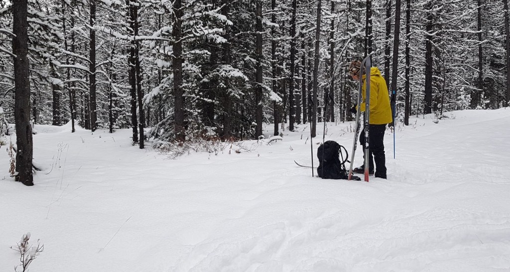
We were soon out of the trees, and traversing the ridge above Gorge Creek. We thoroughly enjoyed this part of the trail, mainly due to the great views of the creek. It was just starting to freeze, and was making lovely little gurgling noises.
What we did not like, and what took a lot of time, was the undulations. We couldn’t ski down anything because the base wasn’t thick enough. We ended up walking or side-stepping down the hills. More snow and a consolidated base would have definitely helped, but hey, that’s the joy of pushing the seasons.

At around 2.8 km, keep a sharp eye out on the right for the Little Ware East Ridge trail. We skied right past it, losing a bit of elevation in the process. We discovered our mistake, hiked back up the hill, found the trail, and continued on.


This was the biggest route finding for the trip. We continually found and lost the trail under the snow. I had just done a bunch of route finding the week before at Missing Link Mountain, so I was getting used to picking out the subtle hints of where the trail might be.
Regardless, we still managed to get too low, and elected to hike straight up to get back on the higher contour line.

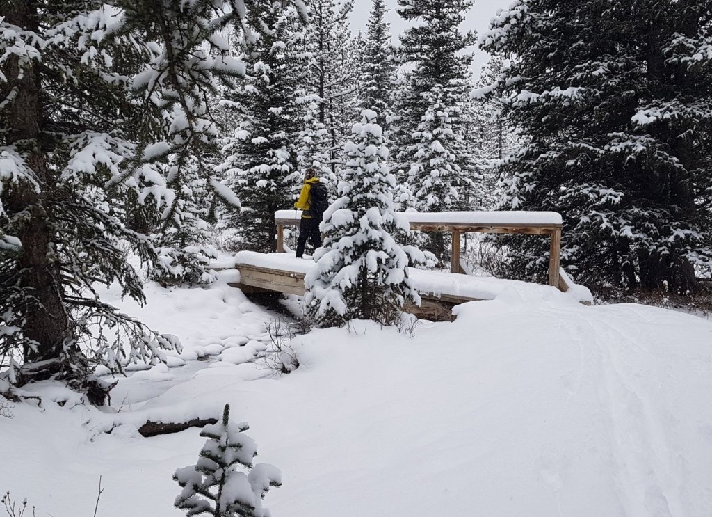
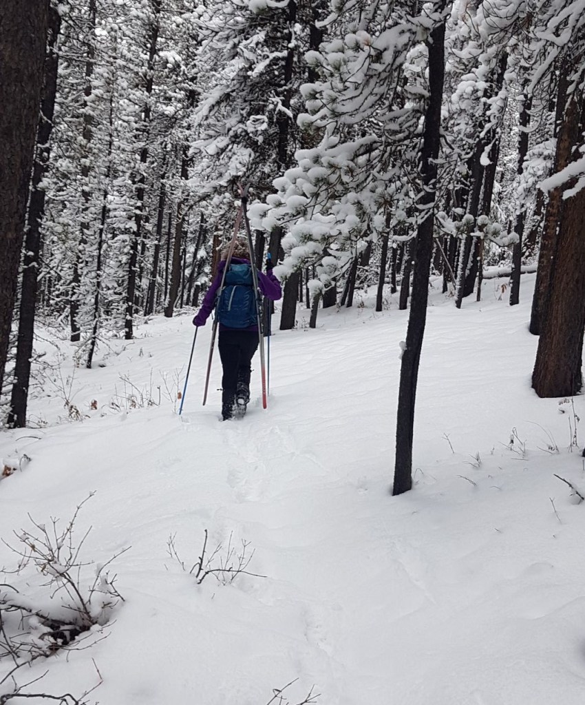
It soon became apparent that there wasn’t enough snow to fully cover the tree roots and rocks, so we strapped our skis to our packs and continued on as a hike.
We kept to the ridge, in mainly tight forest for about 1.5 km.

At about 4.5 km, we hit the flat summit ridge. Here it was a real winter wonderland. The trees were nicely spaced, and we could put our skis back on for a lovely but short swish over to the summit of Little Ware.

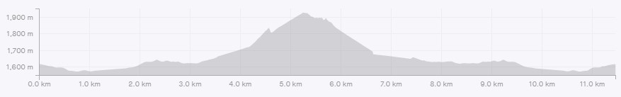
Distance to Little Ware via the East Ridge is 4.8 km. Elevation gain was 539 m. Time to summit was three hours in frustrating conditions.

From our vantage point, we looked across at the now unrealistic objective of Mount Ware and Surveyor’s Ridge beyond.
It was already 1:00 pm, and too late to continue on. Sadly, this is the second time that I’ve misjudged the distance to Mount Ware. The first time was five years ago. My daughter Mackenzie was sick and stayed home, but Kayla was ‘forced’ to go on the hike. She was definitely feeling that she was missing out on some quality home-alone time. This was also a late fall hike, and the snow was building up nicely at the Little Ware-Mt Ware col. Needless to say, we were happy to turn back and put our hard done-by daughter out of her misery.

Little Ware Return
We decided to descend via the gully between Little Ware and Mt Ware. From the summit, we headed north a short ways to avoid the cliffs beneath the summit. We then angled down to the col between Little and Mt Ware.


From here, it is more or less a straight shot down the gully, sticking to the middle, or low point. Distance from the summit to the main Gorge Creek Trail is about 1.5 km.

When the trees start in earnest, we found lots of flagging and some blazing to guide us back to the Gorge Creek Trail.

Once at Gorge Creek Trail, we passed through a little gate.

From here, we were on a narrow trail with the Gorge Creek bubbling below us.

This part of the trail had pretty deep snow, and I was very glad for my skis. I really do not like trudging through deep snow.

Soon enough, we caught up to our ski tracks from the trip in. This is where skis really make sense. We positively raced back to the parking lot – on the flats. We had to take off our skis for just about every downhill, or risk falling face first as our skis were grabbed by hidden rocks. Still, it was about 3 to 4 times faster than walking in deep snow.
All in, Little Ware is about 11 km or so of easy hiking. We added on about 500 m with missing a turn. The East Ridge route offers a gentle ascent and mild route-finding, with the gully being a quick descent off the mountain.
One day, my reality will match my optimism. I WILL climb Mount Ware.
If you found this post useful, please do me a huge favour and click the Star button to “Like” it. You can also follow my blog, follow me on Instagram, or join my FaceBook page Al’s Adventurers.
Alisen
Totals – Tracked on Strava
Date: October 22, 2020
Group: Two (Alisen & Mike)
Distance: 11.47 km (less if you don’t miss the turn)
Elevation: 539 m (1,779′)
Time: 5 hours 15 minutes (include breaks and general dicking around time)

I love all things mountains! I live next door to the Canadian Rocky Mountains, however I travel the world to enjoy the many different mountain environments and cultures that I can. I hope you enjoy these trip reports, and that it inspires you to accomplish your own adventure goals.

We’ve been out snowshoeing 5 or 6 times. There’s enough for that but didn’t think quite enough to ski. Looks like you found about the same, maybe another couple of weeks though.
I absolutely LOVE to ski, so that is my go-to winter sport. This was a bit of fun until we can take our alpine touring gear out. It’s one thing to trash the bases on my 20+ year old skis, it’s another to rip a chunk out of my new dps touring skis. I agree with you – with this warm weather, it’s going to be a bit longer before I can ski in comfort.
yes, be careful not to damaging the DPS!!
LOL!!! My ski tuner Ray is already mad at me after the Bonnington Traverse. I’m more afraid of him than of hidden sharks 🙂
This was a great summer hike however we went counter clockwise to Surveyors Ridge to Ware and Little Ware. It definitely tested our navigation skills using a map and compass. I love this area for not being overcrowded and that you can wander the woods without relying on a trail. Nice update on the trail conditions.
Thanks for the report! I was considering doing it from that direction too. I have been up Volcano Ridge a few times, so it seems a quick hop over to Surveyor’s. I think I either need to do this in the summer when I have more daylight, or when there is a LOT of snow, which is hard because the road closes Dec. 1st.
Yes! I agree! No one is ever here. A great place to actually navigate and be at peace in nature.
WOW this beautiful.. absolutely lovely 👌
Thank you. Glad you liked it. The scenery does all the hard work 🙂
yes alisend
How’s everything over there today due to the pandemic and election??
The pandemic is heating up again. We were in lockdown in the spring with WAY less cases. Our Alberta government is refusing to help manage the health care crisis or provide financial help. It’s all coming from the federal government. Blessed to have our health care system!
As for the election, Trump is no friend to Canada and his trade policies also negatively affected many US states, so fingers crossed a new presidency will help relations. We have many friends in the US and I wish you all the best. The intense divide between people is causing harm in so many ways. I hope everyone can come together sooner than later.
the Government are not helping the citizens to fight against the covid19 pandemic. it’s bad that trump has make America 🇱🇷 Lost soul every single day.. we ask for God to help you out from this covid19 pandemic..
Nice to hear from you.. I’m happy to be friends with you if you don’t mind??