July 13, 2022
This is now my third year in a row visiting Waterton National Park, and I have to say – it just keeps getting better and better. I’m not sure why I stayed away for 20 years, but I’m glad I got over it.
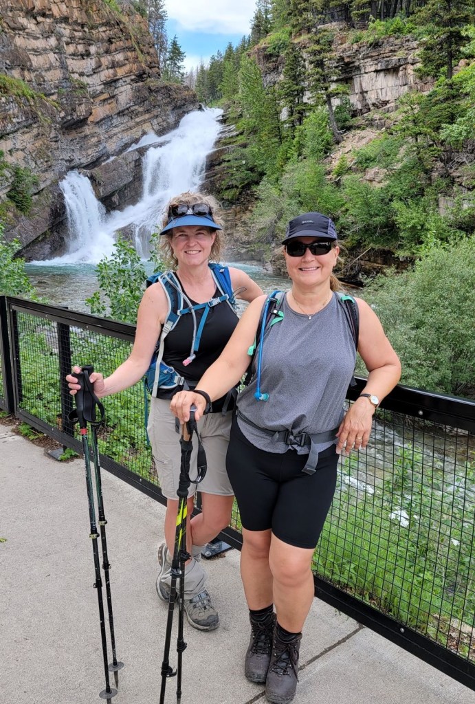
My friend “Skipper” Deb wanted to hike Crypt Lake and asked if I’d take her. As I don’t love repeating routes, I said I’d go if we stayed overnight so I could hike something new. Being a good sport, Deb readily agreed. I learned about the Carthew-Alderson traverse from fellow Adventurer Katherine Mary and I was looking forward to the amazing colours and new terrain.
The thing I don’t love about traverses is the car shuttling. Not a problem here! We booked a shuttle from Tamarack Outdoor Outfitters that dropped us off at Cameron Lake. The hike ends at Cameron Falls, and from there it is a quick walk to just about anywhere in town.
We met so many nice people on this trail. The atmosphere is quite different from the hustle-bustle of Kananaskis or Banff. A lot more relaxed. We actually ran into a family three times – once this trail, that night at dinner, and then again the next day on the Crypt Lake trail.
Gear
Hiking boots, poles and regular day pack kit.
Overview
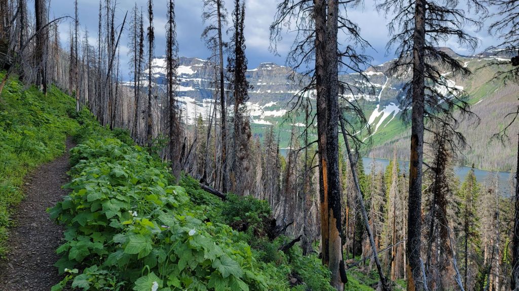
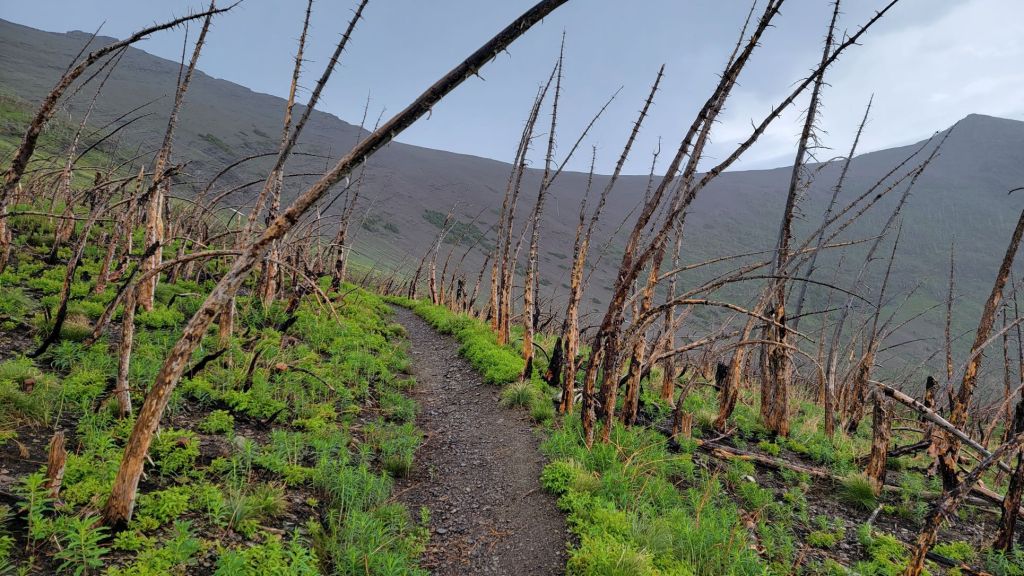
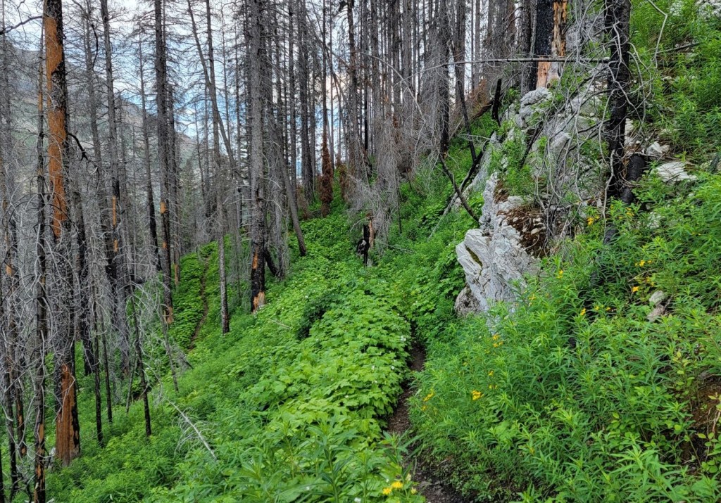
From Cameron Lake, hike up and around Buchanan Ridge on the Great Divide Trail. Hike through forests with various degrees of wild fire burn. Go up and over the red shale ridge. On the other side, pass the two big Carthew Lakes, and then descend to Alderson Lake. After this, it’s one long descent through the trees to Cameron Falls.
Check out the video.
Totals – Downloadable Tracks on Gaia, Displayed on Strava
Date: July 13, 2022
Group: Two (Alisen and Deb)
Distance: 19.5 km
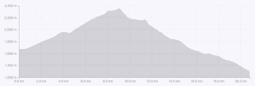
Elevation: 748 m (2,468′)
Time: 6 hours 45 minutes (includes lunch and breaks)

Parking and Trail Head
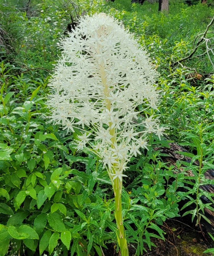
We took the 9:00 am Tamarack Shuttle from the Town of Waterton, and enjoyed a lovely guided tour up the Akamina Parkway. I learned all about the Bear Grass Flower, which was new for me. Our shuttle driver also had great intel on the route conditions from their hiking guides. There were still some patches of snow, and she gave advice on how to avoid or traverse them, which was handy. She also provided info on an additional outcrop that I took advantage of to get some amazing views. All in, I’d highly recommend the shuttle service.

We were dropped off at the newly renovated Cameron Lake visitor centre, where there are a LOT of bathrooms. After checking out Cameron Lake, we stayed close to the shoreline trail to start our trek.

Main Trail
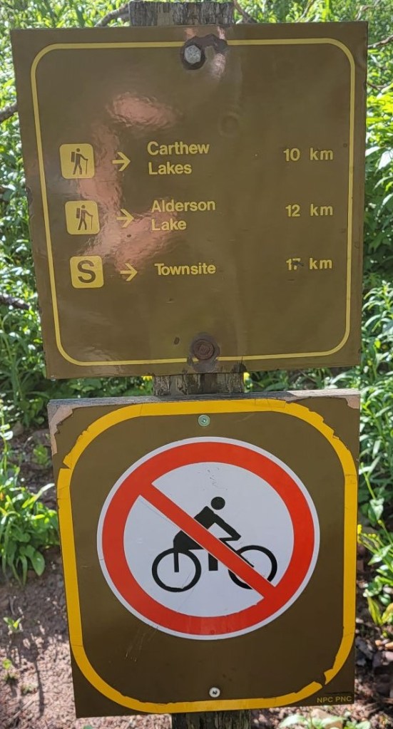
The trail starts just behind the visitor centre, to the left of the boat rentals. There is a big sign to get you started, as well as a smaller distance sign.

The trail starts out as a boardwalk, but turns into a regular trail as we gained elevation. The trail ascends the side of Buchanan Ridge in a series of wide sweeping switchbacks like only the national parks can make them. No straight up Kananaskis slog here.

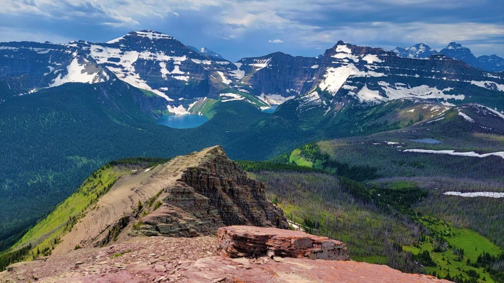
Once we gained some elevation, the trail circled around the base of Buchanan Ridge, and led to Summit Lake. Here we got a more accurate distance sign, a view into Montana, and our first peak at the famous red rock shale on the Carthew-Alderson ridge.

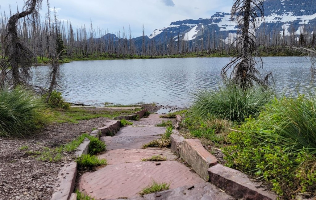

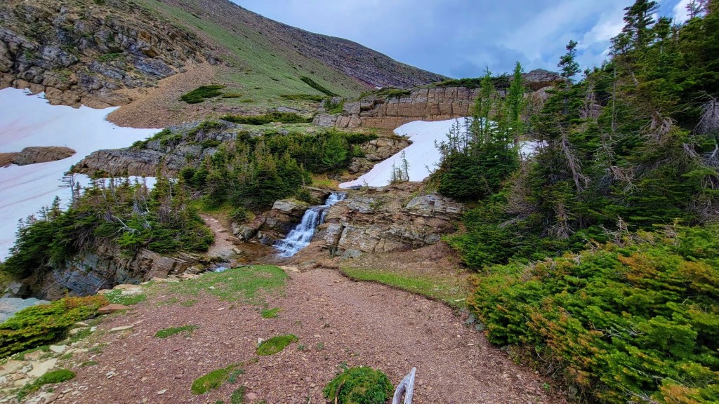
From Summit Lake, we turned uphill and started gaining elevation. This is when we got our first look at our high point – the red rock ridge above. Despite it being mid-July, the snowpack was still lingering. For the most part it was no big deal, but there was one section of an old cornice on a rather steep descent that I had to maneuver around.
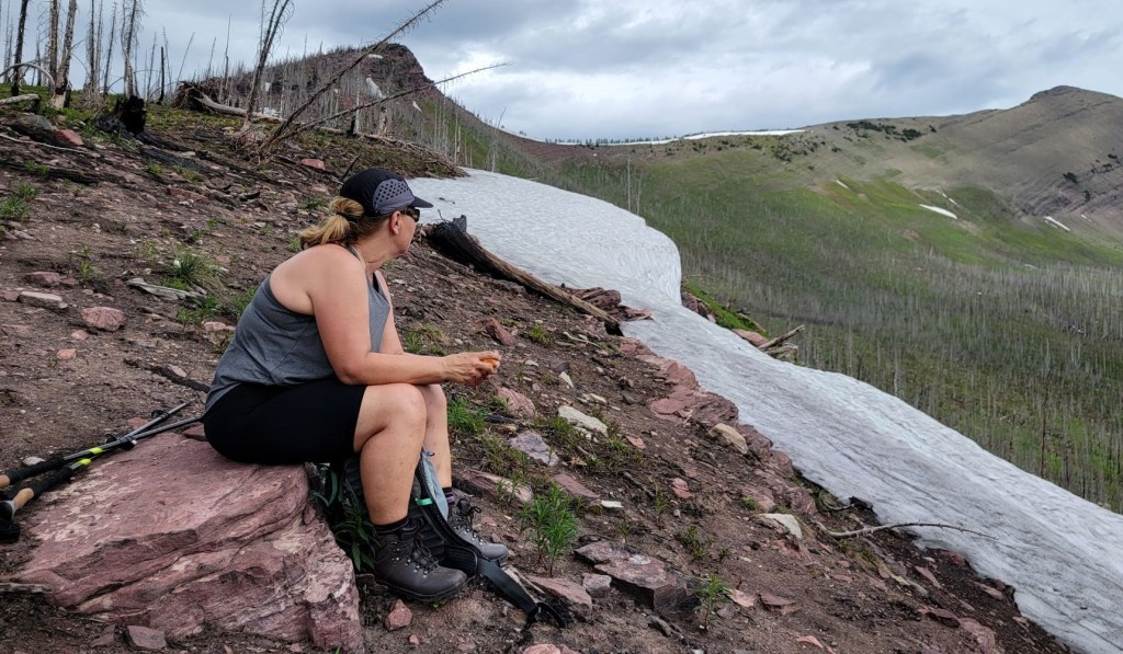
As I was hunting for a good way down, it started to rain. There was a thunderstorm to the east, and while I don’t advocate being anywhere near an electrical storm, I was keeping an eye on this storm. It would build, then dissipate, and never seemed to get past Cameron Lake. After discussing it with Deb, she came to the same conclusion that we were travelling away from the storm, and decided to keep going.
It was here that I met two types of hikers. Hiker A was a group that was coming back down from the ridge. They did not like the rain, and were heading back to Cameron Lake. The leader of their group felt that everyone on the mountain should share their decision and promptly turn around. Now! Instead of engaging in conversation as to why I was still going up, Hiker A dove straight into badgering me to turn around. I patiently stood there, watched, and waited for some kind of conversation other than “you’ll be damned if you keep going” to erupt. Nope. When they got tired of me not responding, they then accosted the two groups coming up after us.
Shortly after that delightful group, I met Hiker B, which was a grandparent and child under 10. They also decided to turn around. Instead of insisting everyone do what they were doing, they simply said “I’m not comfortable with this rain.” Fair enough. Hiking with someone else’s kid means taking things down a notch. I wished them well.
Shortly after, the rain stopped, and the electrical storm to the east died out completely – long before we got anywhere near the ridge. I got lucky. However if it was still raining and the electrical storm was indeed heading our way, I would have gladly turned around. Moral? If you’re worried about another hiker’s safety, engage in a conversation. Don’t badger or threaten.
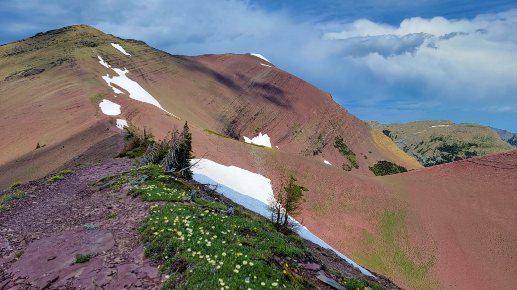
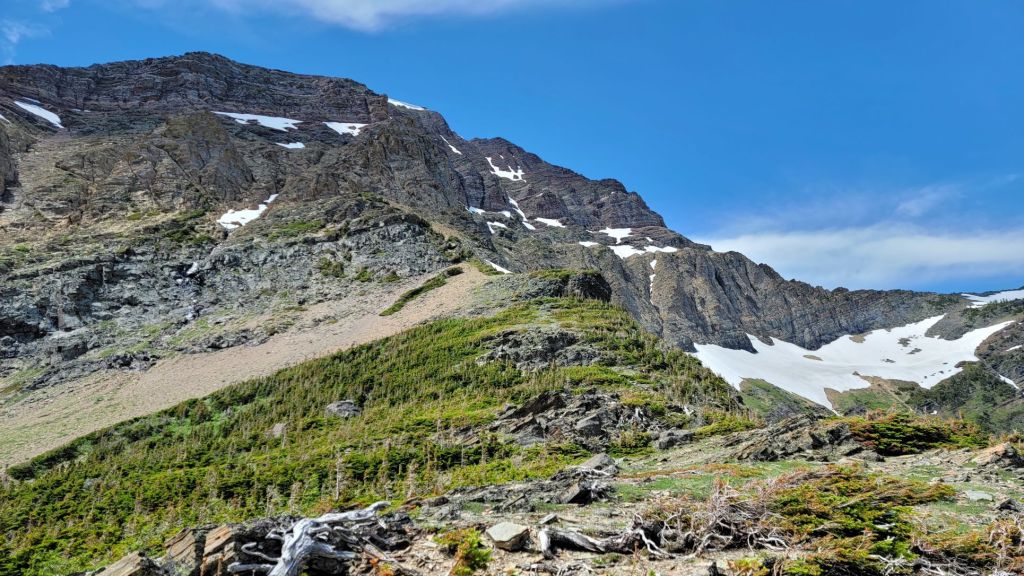
But I digress… The hike to the ridge was a long sweeping walk across red shale. There was then a series of switchbacks to gain the actual ridge.

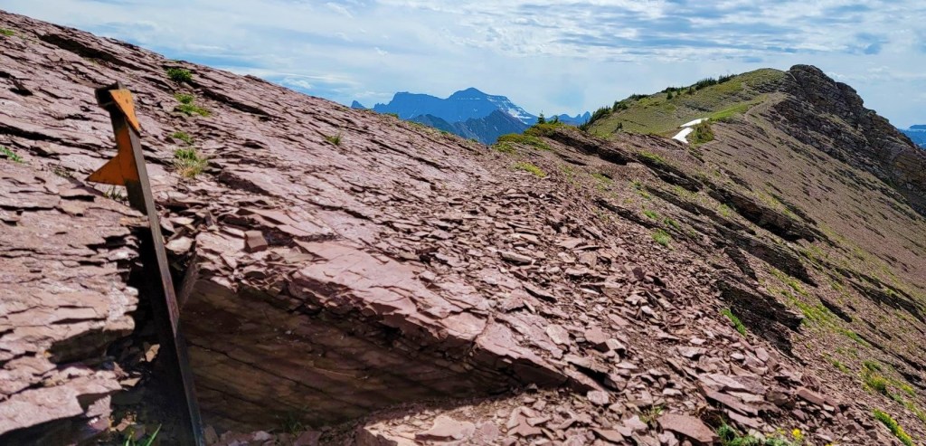
Distance to the ridge top was about 8 km, with an elevation gain of 754 m. Hiking time to ridge was about three hours at a relaxed pace.
After I hiked up to the outcrop, I picked up Deb and the family of six, and together we made our way off the ridge and down to the lakes below.
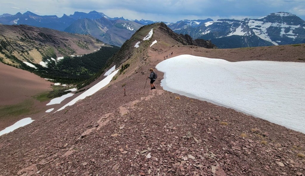

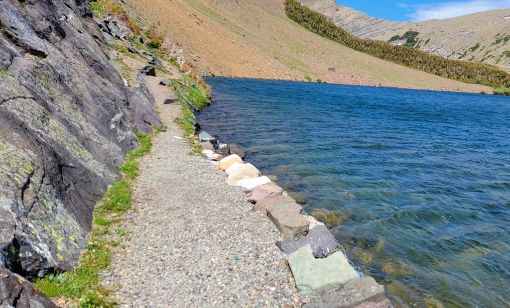
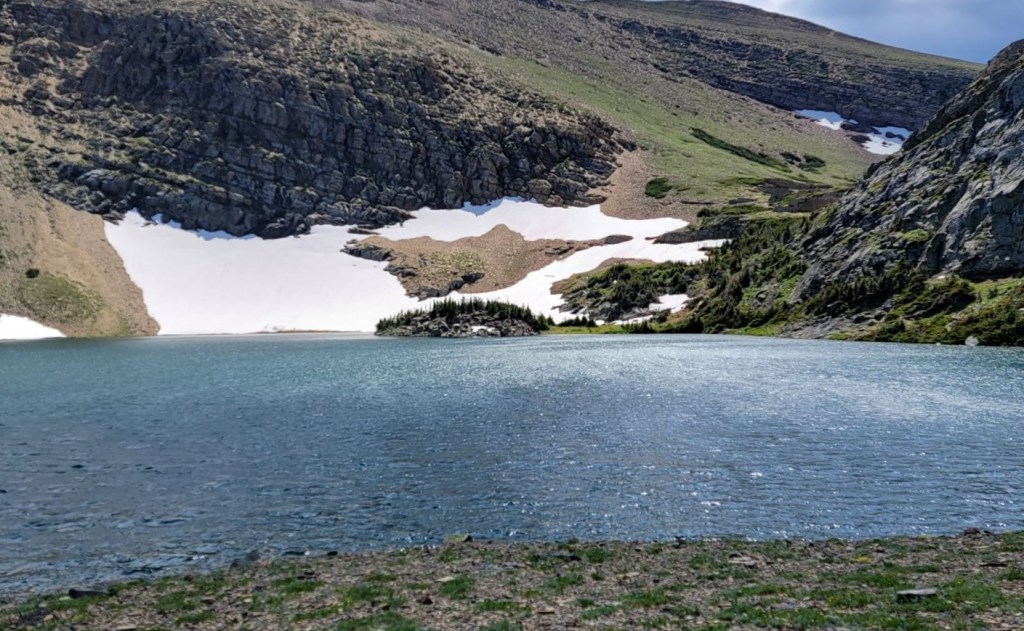
Once we left the ridge, we followed the switchbacks down to the first Carthew Lake. As there was a massive snow slope, I decided to slide down it. Once at the first lake, we hiked over to the left shore, and continued around to the end. There was a short drop and a cute waterfall that led to the second Carthew Lake.


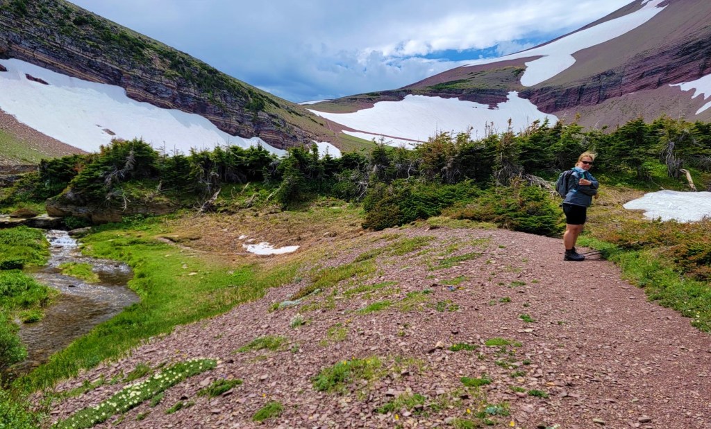

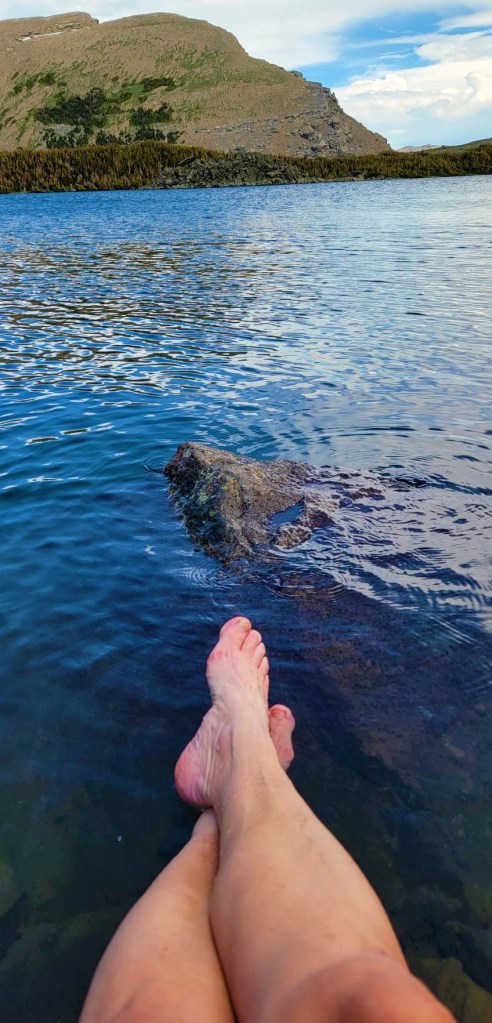
We had been hiking for about 10 km, and about 4 hours. Time to take a break. We all stopped on the shores of the second Carthew Lake and enjoyed a long lunch break. I took the opportunity to soak my feet in the cold water, which does wonders to relieve the swelling. We still had another 9 km to go, plus another 20 km tomorrow, so keeping my feet healthy was a priority.
After lunch, we hiked around the second Carthew Lake, and hiked up and over a rib coming off Mount Carthew. I felt this was the most challenging part of the trail. It was quite a steep descent, and the trail was narrow and rocky. We had epic views of Mount Carthew and Buchanon Peak. We could look down onto Alderson Lake, but decided to skip the lakeshore trek.


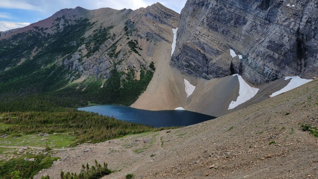
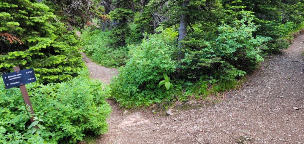
Deb and I felt like we’d already had a good shoreline lake visit, so decided to push on and not visit Alderson Lake. From here, it was a long 6 km back to the town of Waterton in a thick forest with not much in the way of views. I was buoyed up a bit when I finally saw the Akamina Parkway below, but we were still a good km away from Cameron Falls.


The Carthew – Alderson Traverse is a fun exploration of Waterton National Park. It has everything from sweeping red shale vistas, to crystal clear lakes, to towering limestone mountains, this hike has it all.
I was super proud of Deb for conquering her fear of heights. It wasn’t easy, but she didn’t give up! Way to go Skipper!
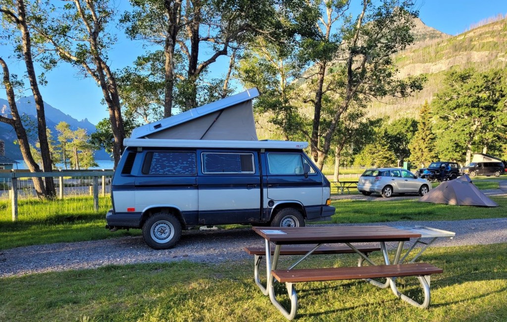
Deb and I spent the night in “Steve” at the Waterton Town Campsite. They have hot showers, flush toilets and lots of green space. As Waterton is so small, we could park the van and walk everywhere we needed to go. The next morning we were up early to catch a different kind of shuttle – the water shuttle across Waterton Lake to Crypt Lake.
Thanks for reading! Please do me a huge favour and click the Star button to “Like” it. You can also follow my blog, join my FaceBook page Al’s Adventurers, or follow me on Instagram
Alisen
I love all things mountains! I live next door to the Canadian Rocky Mountains, however I travel the world to enjoy the many different mountain environments and cultures that I can. I hope you enjoy these trip reports, and that it inspires you to accomplish your own adventure goals.

Awesome recap as always Alisen, I wish you had video of your snow slide! 😉
Thanks again. Way to go Deb!
Funny you should say that… Deb did video my slide, but unfortunately when I was making the video I wasn’t able to get it from her.
The cute thing about that was, I was helping a family of 6 down off the ridge as the dad was scared of heights. All 4 kids had to ask me after the slide – do you have a wet bum? Yes, yes I did. Was it worth it? Oh yeah 🙂
I had the wet bum experience at Maligne Canyon once, doing an ice slide on a winter hike.
I had rain pants, but did I put them on? Of course not. I agree, it was worth it! 🙂
LOL! Rain pants – too much effort.
Did you go to the bottom of the canyon in the winter? I hear it’s pretty spectacular down there.
I did, and it was spectacular. 4 of us + guide. I think it was tending towards Spring, so the river ice slide was a bit wet, but fun. I had at least 3 layers on, which is likely why I didn’t bother with the struggle to get into waterproof pants.
😉
What a gorgeous trek. We haven’t been to Waterton in years either. Maybe we should:) I also hadn’t heard of Bear Grass. I wonder if it is elsewhere in Alberta or just Waterton. Maggie
According to the tour guide, this is the furthest north that Bear Grass grows. I was chatting with someone in Colorado and they have a lot of it down there.
I know! Waterton is pretty special. I might do a backpack there this summer as there are some good peaks to be had as well.
Wow! This is amazing! I love Waterton but I’ve never done this hike. Looks like it’s time for a return visit.
It’s pretty spectacular. The cute little girl who was following me up to the outcrop was from California. Now that the borders are open again, there are lots of Americans.
However, I was looking across to your side of the park – that Livingstone Range is definitely calling my name. Might have to figure out how to get up there. I know it’s way busier on the US side and you need permits to explore. Makes the logistics that much more daunting.
Marvelous hike!! I noticed your brilliant idea of sliding down the snow, sparing your knees 😎
Absolutely! I do over 50 hikes/scrambles/summits in about six months time, so my knees take a beating. Anytime I can give them a break I do. I also absolutely LOVE snow 🙂 If you know how to manage a slide, and pick your spots, it can be done safely. I actually walked way out into the middle to avoid the rock spur.
We visited Waterton National Park in 2016, the year before the major forest fire swept through the area. We were only there for a day, which wasn’t nearly enough time to fully explore the park. The Carthew-Alderson traverse looks like such a scenic hike. I’ve never seen Bear Grass before either, it looks so pretty. It’s a bit of a bummer that it rained, but at least you were hiking in the direction away from the storm. I would have ignored that bossy person too. They very well could have been right, but I don’t like it when someone starts making demands and tells me what to do.
The park is now starting to rejuvenate itself, and we are finding beauty in the destruction. The Fireweed (a very tall purple flower that grows in open areas, mainly fire breaks) is on display now. Our shuttle driver also mentioned the views being an upside to the fire. Unlike a flood that causes so much permanent damage, forests do come back. Thankfully.
Ha ha! I see that we are very much alike. No, I didn’t like being told what to do. Now that I think about it, that kind of behaviour can be dangerous. If I was undecided, and she ‘pushed my buttons’ I might have made the opposite decision just because I was being pushed. I’ll have to keep that in mind…
It’s pretty incredible how nature heals itself after a forest fire and the wildflowers afterwards are stunning. That’s a good point about how forests do come back and that fires are actually important to stimulate new growth and are part of the natural cycle.
Gorgeous hike! The views from the high point you reached are great. As are the views from where you took the “money shot”. You almost make me want to book a flight and go to this area!
I too was amazed by the views. I love how after 25+ years in the mountains, I am still so easily awed by their beauty. Glad you liked it.