September 10, 2022
I always wanted to summit Mount Allen, but what I really wanted was to traverse the entire Centennial Ridge. However, I wanted to do it in a very particular way. It’s a long day (8 hours), with some good elevation gain (1,390m). The last thing I wanted was to shuttle cars for the traverse. My solution? Convince another couple to come and hike in opposite directions!
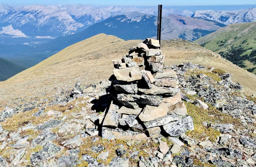
Sonya and I (and Pyro) drove to the Ribbon Creek trail head near Nakiska. Meanwhile, Mike and Ross (and Sizzle) parked at the Wind Ridge / Pigeon Mountain trail head. We hiked towards each other, with the goal of meeting at the summit of Mount Allen. This is the highest point on Centennial Ridge, and the highest maintained trail in the Canadian Rockies.
This was definitely not a race, because the guys had further to go. I just want to say that, Sonya and I would have totally made the summit of Mount Allen on time if we didn’t get completely mesmerized by the amazing towering stones. And we may have totally lost the plot taking videos of the cute marmots. They were everywhere in the rock rubble, and were so happy to shout out that there was a dog nearby (always on a short leash).
Taking our time had a huge benefit though. Mike and Ross took nary a photo, and were down at the car in no time. We were supposed to meet at the Tim’s on Highway 40, but they got bored waiting for us. Instead, they bought us cold drinks and some treats, and met us at the Wind Ridge / Pigeon trail head. Well done ladies, well done!
Gear
Hiking boots, poles and regular day pack kit.
Overview
From the Ribbon Creek trail head, follow the signs in the forest to reach the ridge. Once on the open ridge, hike up to Olympic Summit. Hike across to the impressive cadomin formations. From there, hike up to the summit of Mount Allen. Descend the ridge to the north. Pass through the giant rock outcrop, with one steep down climb. Continue on ridge. Follow the signs to the right to avoid the cliff. Hike around the base. Find the ridge exit on the right, and hike down and then across. Connect with the Centennial Trail for a straight shot to the valley. Connect with Wind Ridge trail system to hike the short distance to the Wind Ridge / Pigeon Mountain trail head and parking.
Totals – Downloadable Tracks on Gaia and on Strava
Date: Sept 10, 2022
Group: 2 x 2 (Alisen & Sonya, and Mike and Ross)
Distance: 19.3 km
Elevation: 1,393 m (4,597′)
Time: 8 hours 10 minutes (includes lunch and breaks)


Parking and Trail Head
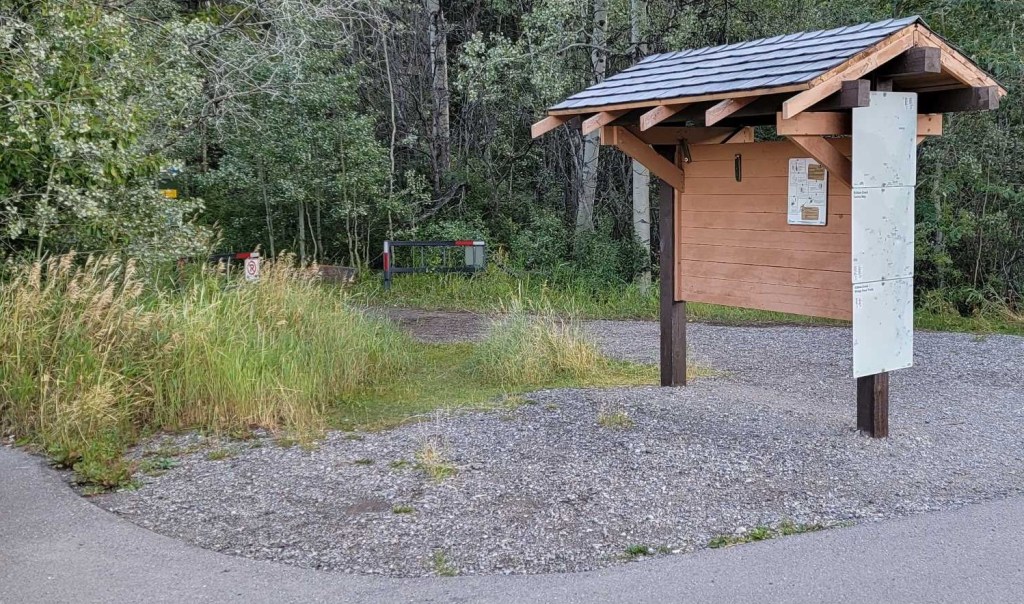
While the guys parked at the Wind Ridge / Pigeon Mountain trail head and hiked north to south, this trip report is from my point of view, going south to north. Sonya and I parked at the Ribbon Creek trail head, just off highway 40. This is a paved lot, with an outhouse, and a sign board.
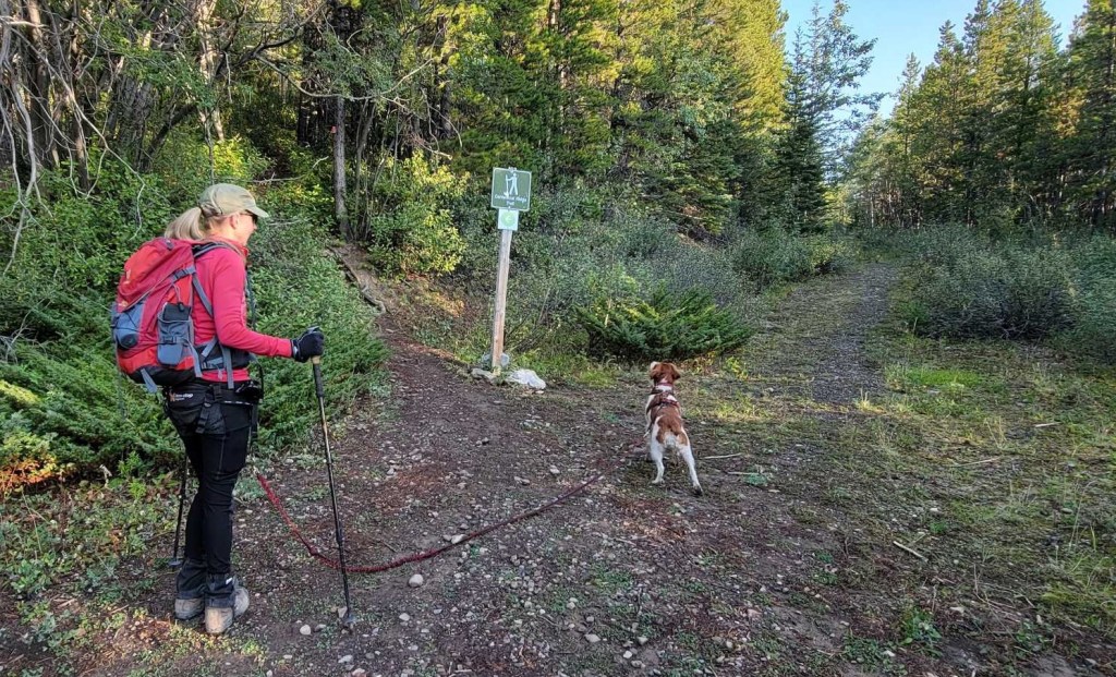
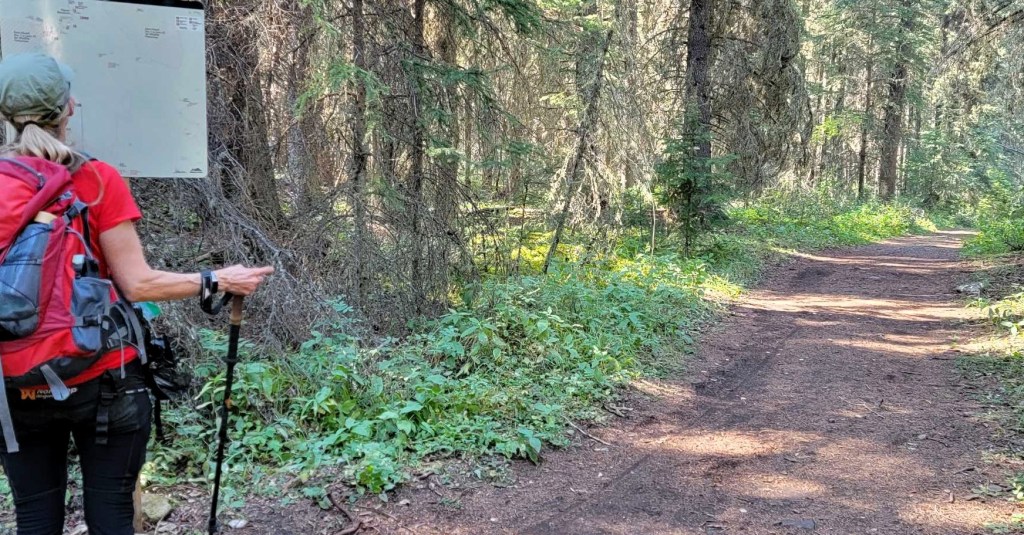
We hiked through the gates, and started following the signs to guide us through the maze of trails.

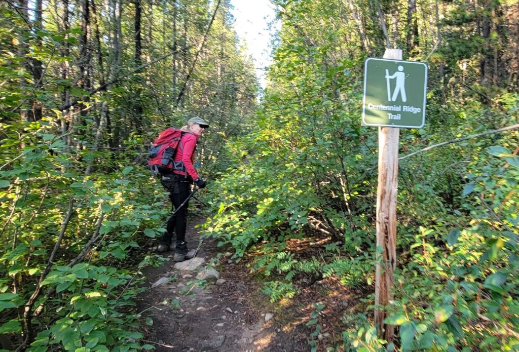
Main Trail
There are lots of cross-country ski trails here. The Centennial Ridge Trail is sometimes on them, and sometimes crosses these trails. I had a GPS with tracks, but I have to say the signage was excellent.


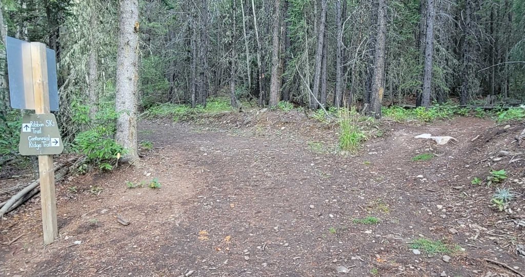
After the final junction, there were still several signs to reassure nervous hikers that we were indeed still on the correct trail. From here, it is straight up, following the ridge to the summit.


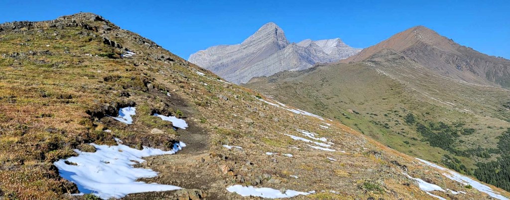
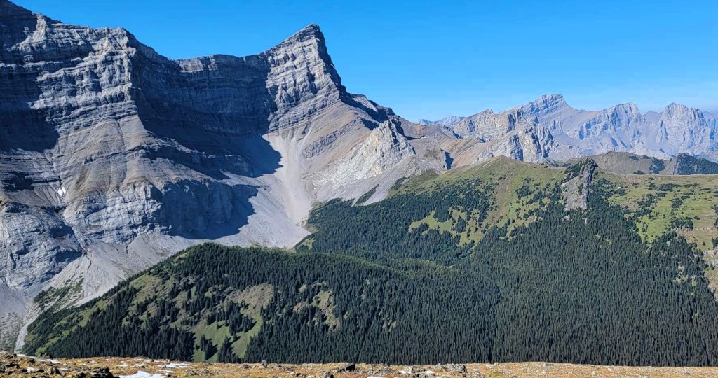
Olympic Summit
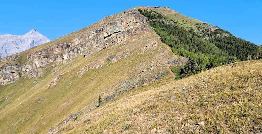
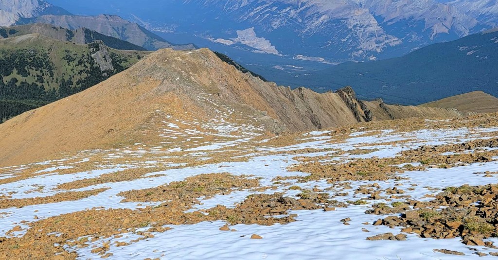
The first big milestone is Olympic Summit at about 5.1 km, and 1,025 m elevation gain. Time was 2 hours, 15 minutes. We are right above the top of the Gold Chair at Nakiska Ski Resort. Many people make this their hiking destination, which is a pretty good day at 10 km return. I had some giant stone flakes to see, so off we went.
I might have been tempted to pat myself on the back at this point. I sobered up when I looked up to the higher Mount Allen summit, and the long distance to get there. That put some umph in my step. Good thing, because I was soon to be slowed right down.
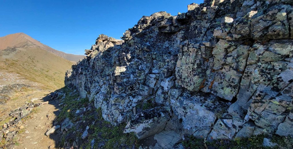
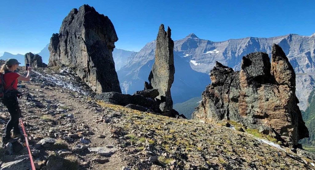
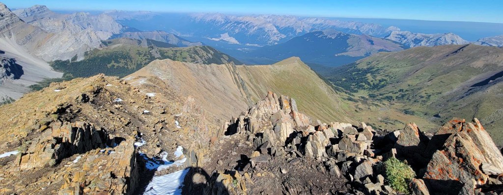
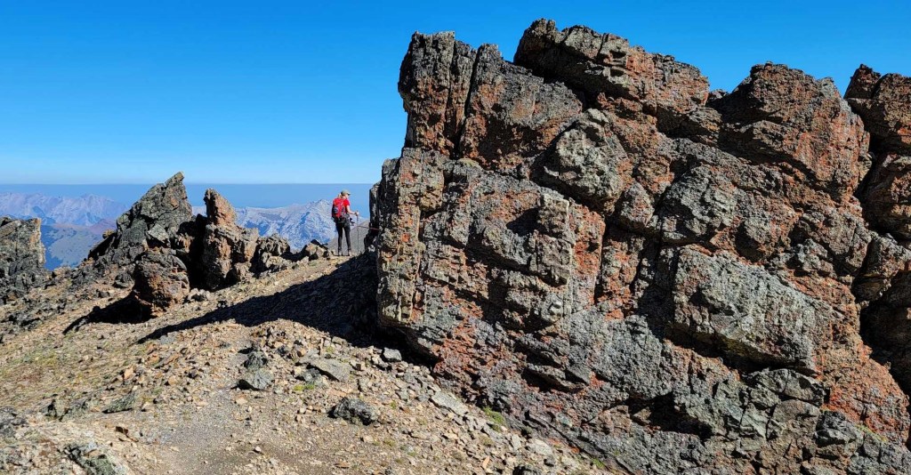
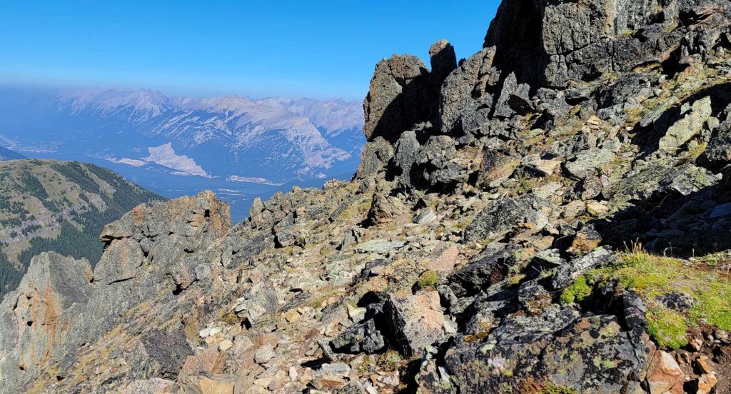
Giant Rock Flakes
These rocks have to be one of the biggest reasons to hike Centennial Ridge. The whole area leading up to the rock flakes is stunning. Looking back at this ridge feels like I’m in Middle Earth. Sonya and I had so much fun exploring the rocks, and taking about 1 million photos. Sonya’s geologist friend told us afterwards that this is called a Cadomin Formation, and indicates coal and gas deposits.
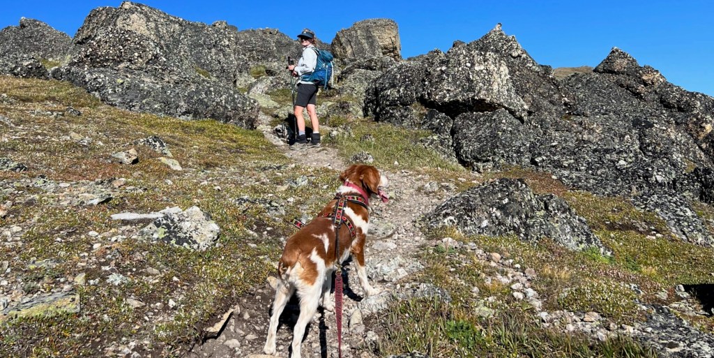


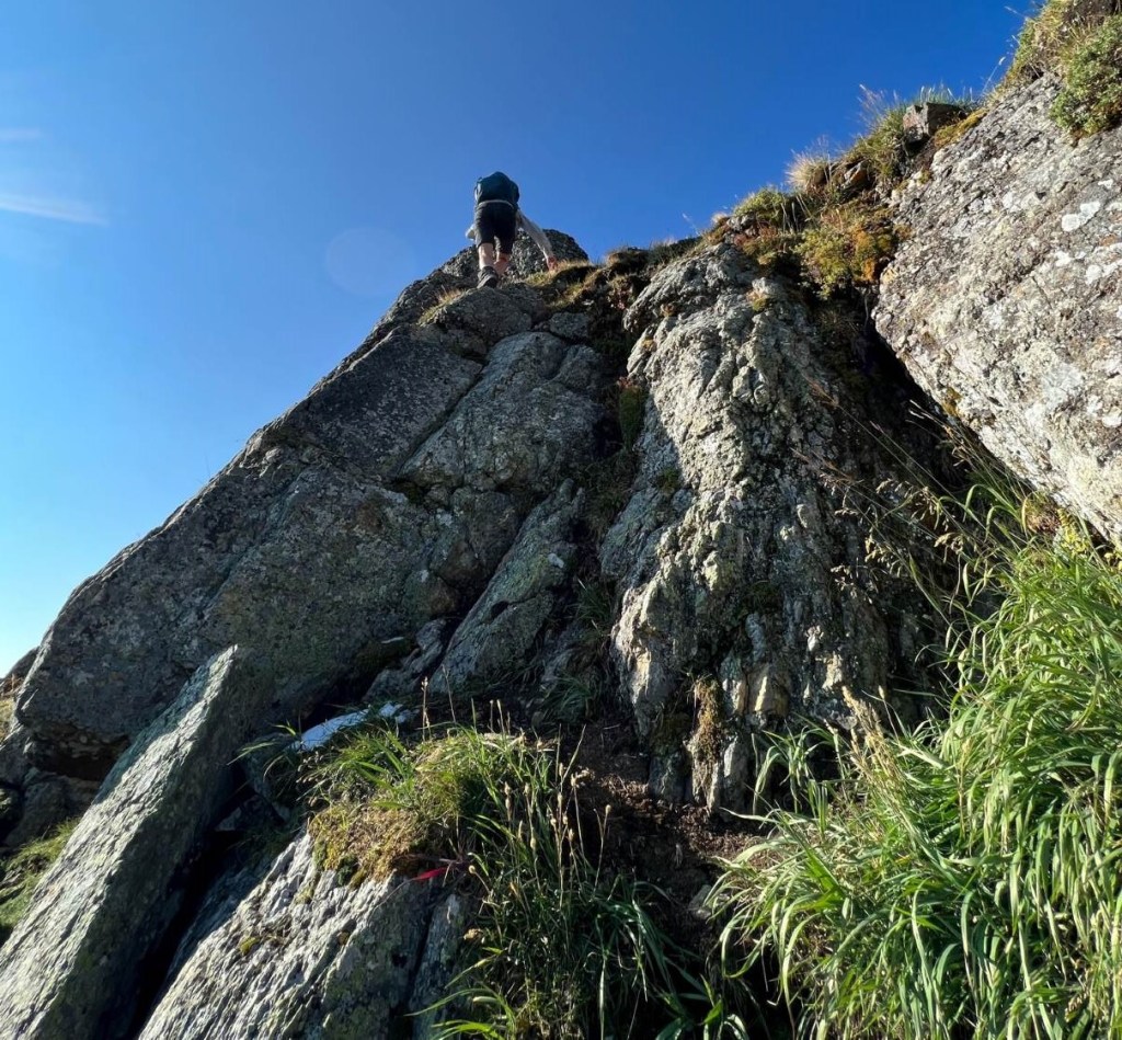
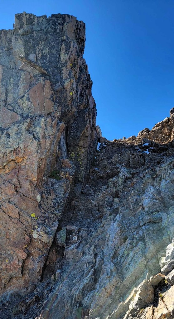
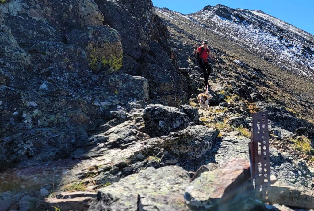
Once we were through the big rocks, we had some short down-climbing off a tricky wall. It was then a long slog on an excellent scree trail to the summit of Mount Allen. It was on this section that Sonya educated me on all things menopause, and the science behind HRT. I was suffering from insane hot flashes, and needed some good information.
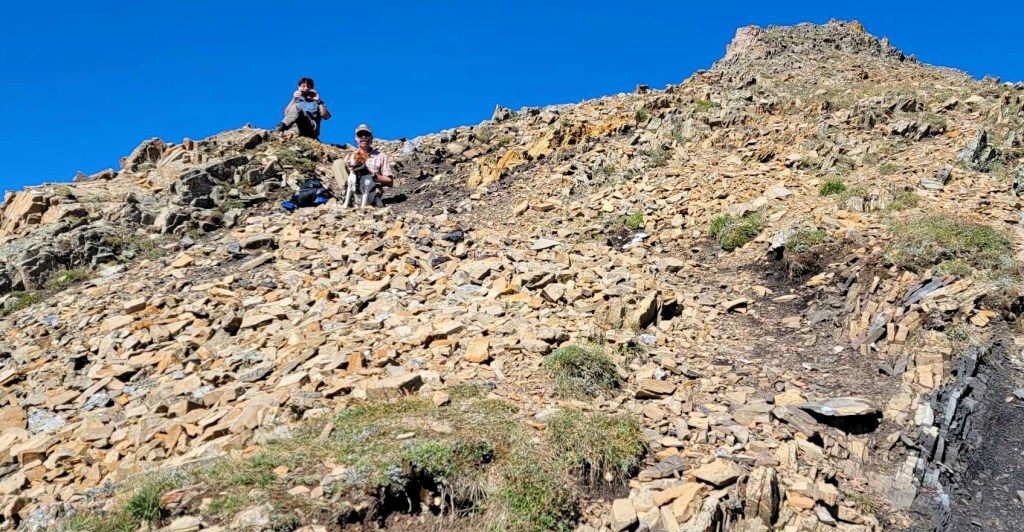
We met the guys just below the summit of Mount Allen. We took some photos, shared some lunch, and then we were both on our way again.


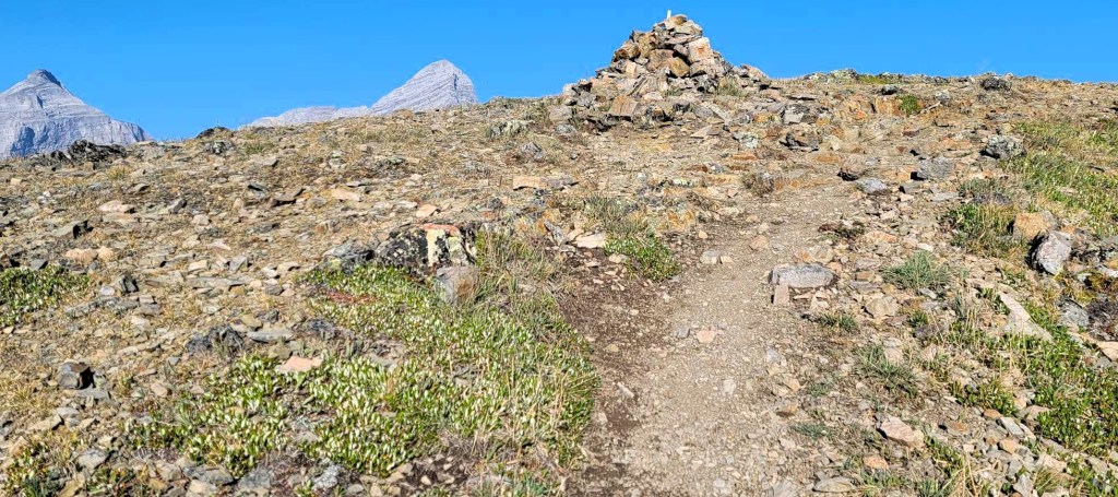
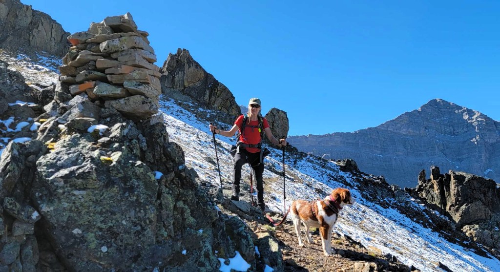
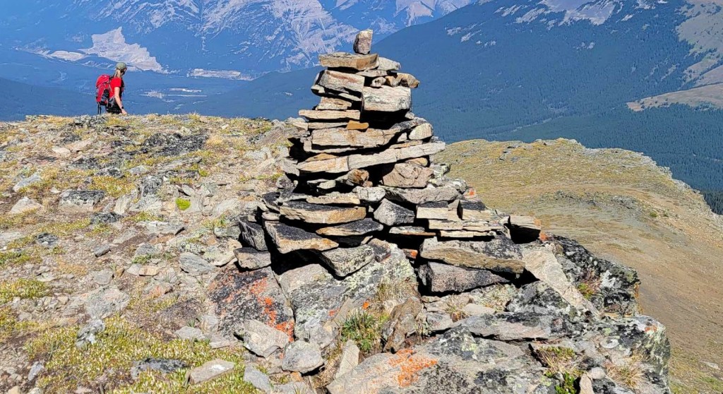
Mount Allen Summit – Highest Point on Centennial Ridge
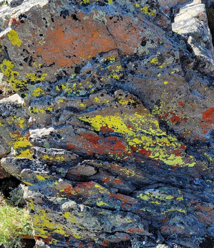
The trail to the summit of Mount Allen is a continuation of the scree trail, and is in excellent shape. Right below the summit there were some larger rocks, but it was obvious where to go. Don’t miss the giant lichen covered flat stone.
Distance to the summit of Mount Allen was 8 km, and an elevation gain of 1,393 m. Time to summit was 4 hours, 20 minutes, including dickering at the giant flakes, and eating lunch below the summit with the guys.


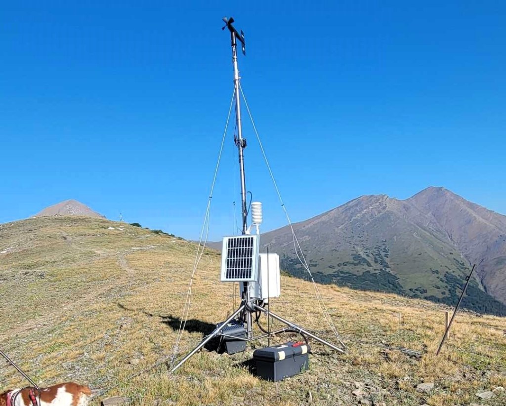
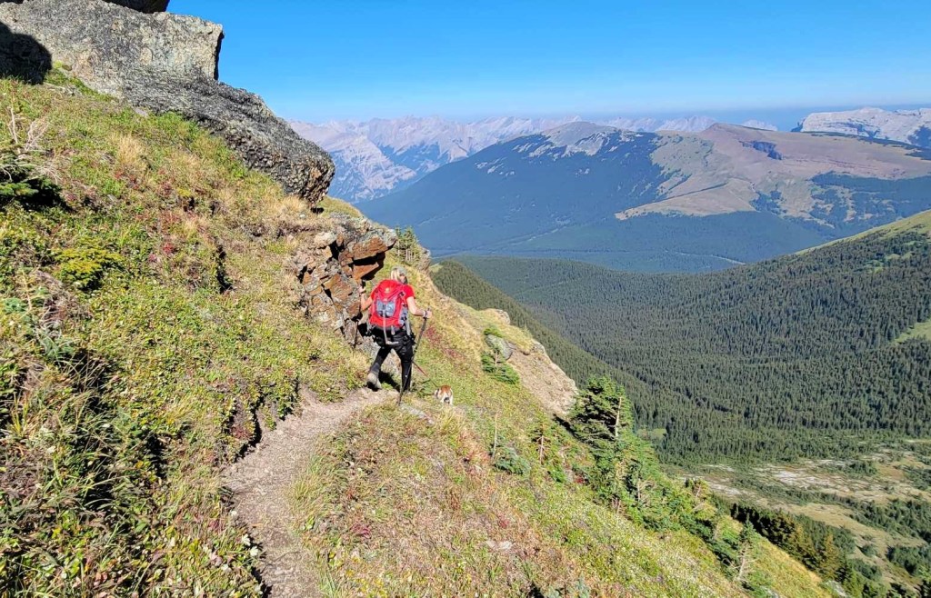
Descend to Wind Ridge Trail Head
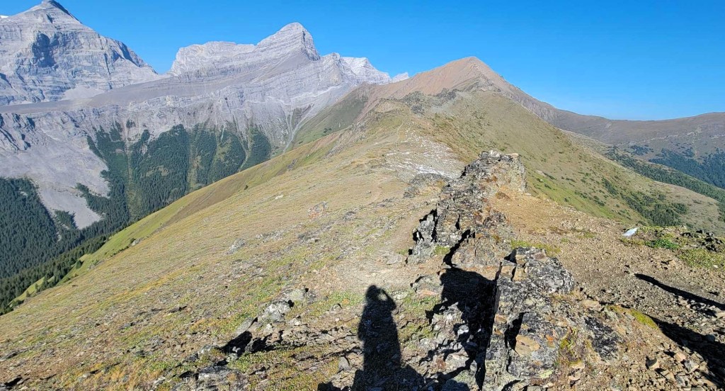
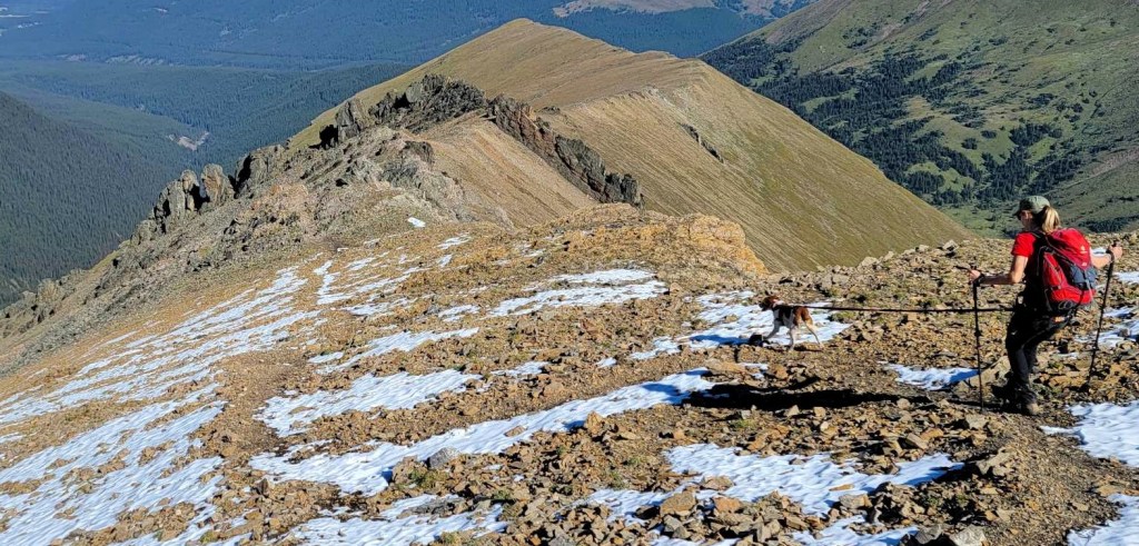
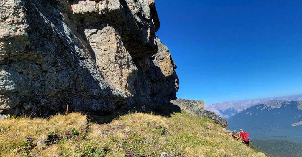
There’s an initial steep section to get off the summit block, but then it’s a long traverse across the ridge. While this might seem tedious, it was anything but. There were a whole new set of mountains to ogle, and several good rock outcrops.
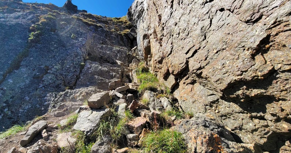
There are two steep down-climbs as we descended the ridge. These are short sections of hands on rock. Pure hikers might not like these sections, but experienced scramblers will have no issues.
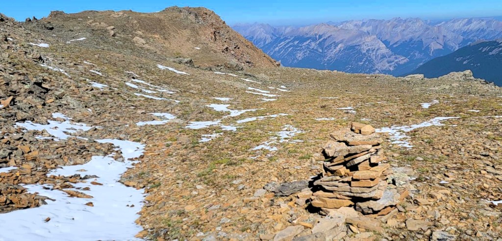

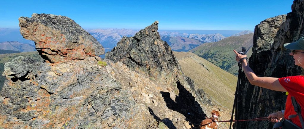
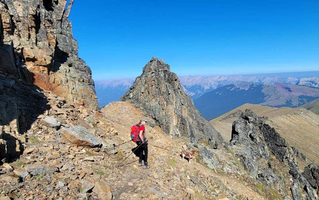
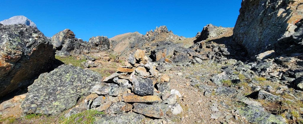
Once we were past the giant rock outcrop, there was another ridge traverse. There was one more short down climb to the right, so we kept an eye on the cairns.


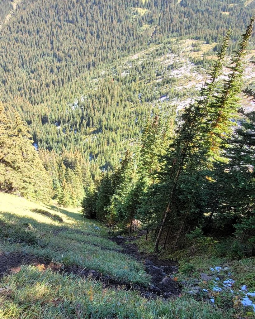
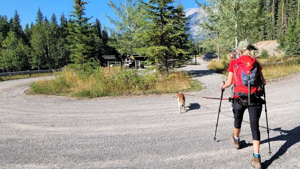
Once down off the Mount Allen ridge, we hiked across to the Mount Collombola ridge. This is a continuation of the Centennial Ridge trail. We followed it all the way down to valley bottom. We finally connected with the Wind Ridge trail, and hiked to the Wind Ridge / Pigeon Mountain parking lot.
This final section through the trees was long and tiresome. We couldn’t wait to get done. However, as I love The Cure, we stopped at the creek prior to the trail head and soaked our tired and swollen feet. This gave the guys the extra time they needed to buy us a cold drink and drive to the trail head. Smart.


Wrap Up
The entire Centennial Ridge Traverse is an absolutely gorgeous hike that is a must-do for any summit hunter. I am so glad that I waited, and organized the full traverse with Sonya and Ross. The trails on either side of Mount Allen are so different, it’s like being on two separate mountains. If you can only do one side, most people go from the shorter Ribbon Creek side.
Thanks for reading! You can follow my blog, join my FaceBook page Al’s Adventurers, or follow me on Instagram
Alisen
I love all things mountains! I live next door to the Canadian Rocky Mountains, however I travel the world to enjoy the many different mountain environments and cultures that I can. I hope you enjoy these trip reports, and that it inspires you to accomplish your own adventure goals.

Beautiful captures along the trail. The rock formations are impressive. Funny how the boys didn’t take any pictures. Go figure! But at least they were kind enough to bring you a cold drink and some treats afterwards.
Boys… Where are their priorities? That would explain why there are so few photos of me in the mountains 🙂
Hiking in opposite directions… smart! I love the colorful lichen photo, and of course all the summit views.
I had that planned for a few years, and finally convinced someone else to join me. Here’s to good friends!