October – April
As the snow begins to fall, people grab their snowshoes and micro-spikes, and head out to the mountains. Unfortunately, many hikers are not trained in avalanche terrain avoidance, and are finding themselves in dangerous terrain that even the most adventurous backcountry skier avoids.
There has already been one avalanche triggered by a hiker this year, which I unpacked in detail on my Facebook page.

I also posted about two areas to avoid in the winter: Tent Ridge and Sarrail Ridge above Rawson Lake. Both of these are fantastic in the summer, but killer in the winter.
It then occurred to me that I should be more positive, and provide places where it IS safe to hike or snowshoe in the winter. While much of this applies to backcountry skiers, this article is geared towards the summer hiker making the transition to winter travel.
Gear
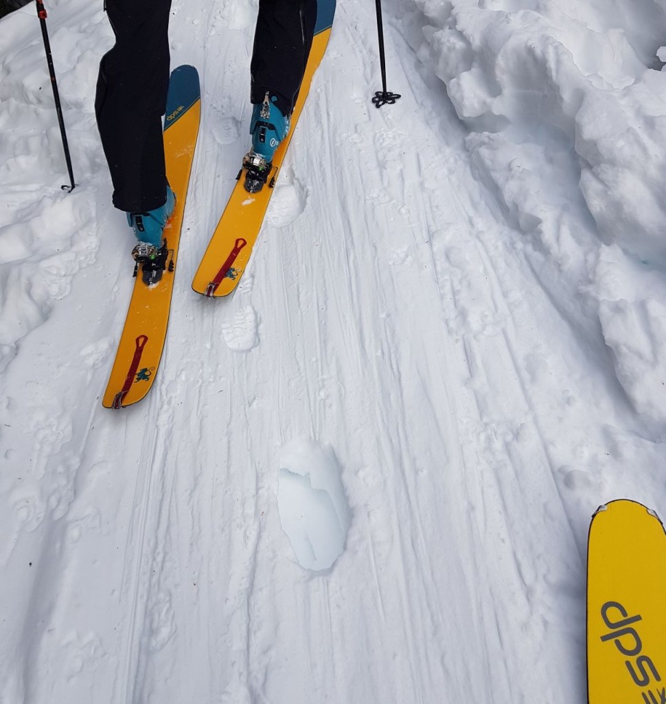
As with your usual day pack kit, bring knee-high gators, snowshoes/micro-spikes, and poles with the big round ski baskets (the small round ones will sink through the snow).
You also need to wear more layers, including a quality base layer (long underwear). Also bring a down jackets with a hood for lunch stops, as it is amazing how fast you will cool down in the winter.
I will probably do a detailed blog on what to wear in the winter, so keep an eye out for that.
Winter Etiquette:
Always practice Leave No Trace. Dropping your used tissue in the snow because it will be soon be covered up is NOT an option. Come spring, that tissue (and all your other garbage) will still be there.
Never walk on ski tracks. This goes for the professionally set ski tracks, as well as tracks that skiers have put down themselves. Skiers invest quite heavily in their tracks. It takes a lot of effort to break trail, and flatten a route. When you walk on a ski trail, the skier has to basically break trail all over again on the way back. This is exhausting and dangerous.
I once did a massive 30 km trip, and was relying on the ski tracks I put in earlier to get me home safely. Instead, a group of hikers smashed my trail to pieces. This extra work caused me to be late and I finished in the dark. If you are out in the winter, be prepared to do your own work in breaking a trail for yourself.
I also got severe whiplash from a hiker on a ski trail. I was going up a narrow track, so I had to rely on my skins as I could not herring bone up. Unfortunately, someone put big post-holes in the trail. I could not get purchase on the snow due to the holes, fell backwards and whacked my head. There are consequences to walking on ski trails. Do not do it.
Winter Safety
Here are some things to consider if snowshoeing or hiking in the winter.
Avalanches
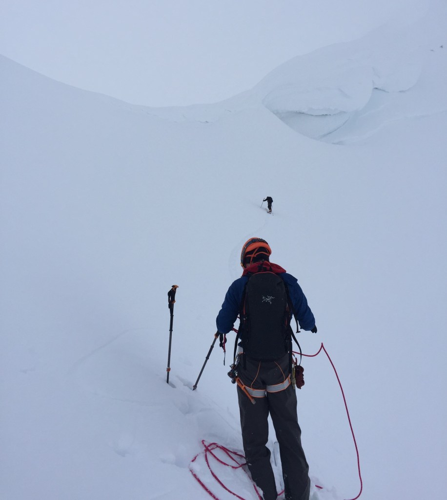
Avalanches are very common in the Canadian Rockies. The weather, snow patterns, and steep mountains all contribute to an incredibly touchy snowpack. If you are going to stray from the established snowshoe trails, then take an AST1 course, buy all the gear like a transceiver, probe, and shovel, and learn how to use them. If this doesn’t thrill you, or you just want a casual day out in the mountains, there is more than enough non-avalanche terrain to explore.
I personally know three people who have lost loved ones to avalanches: a brother, a husband, and even a son who was an ACMG mountain guide. Prime Minister Trudeau lost his brother in an avalanche in British Columbia. A woman died last year, and her husband is a mountain guide. Avalanches happen. All the time!
You need to recognize prime avalanche terrain, and know how to avoid it. If you do have to cross an avalanche slope, do so very quickly, and one at a time.
Overhead Environment
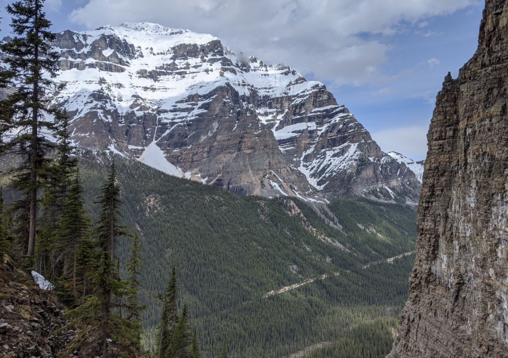
In addition to watching for obvious avalanche slopes, you must also be aware of your overhead environment. This is tricky, because quite often the real danger is thousands of feet above you. Unless you are in a relatively wide valley, you must be aware of what is above at all times. It might seem quite safe on the trail (eg: no obvious slide path), but you could easily be buried from a cliff above. An example of this is Moraine Lake Road. The ski track setting stops at the top of the hill, because Mount Temple sheds avalanches all year long. You would never see it coming.
Cornices
A cornice is a build up of snow due to wind patterns. They happen on the lee side of mountains, and are unsupported mounds of snow. They look solid from the top, but are not actually ‘on’ anything. Hikers die every year because they accidentally walk out onto these snow shelves, only to have them collapse.

Cornices are also dangerous if you are hiking below them. A cornice can collapse at any time. If it lands on you, you could die. Plus, a cornice breaking off can trigger an avalanche.
Where to go?
Have I scared you enough to think carefully about your winter hiking objectives? I am not saying don’t go. I am saying be educated. If you do not have the time or desire to get that educated, then stick to the designated winter trails. I would recommend staying in Kananaskis Country, because they do a great job of saying “snowshoe here” while Parks Canada uses a different, more self-sufficient ATES system.
Here are some excellent places to winter recreate.
West Bragg Creek
If you are new to snowshoeing or don’t want to spend all day driving somewhere, then the trails at West Bragg Creek are for you. I love this area for cross-country skiing. I can get in a good 12 – 18 km ski without a major drive. Their trails are mostly in the trees so the snow keeps surprisingly well all year, despite the chinooks.
Visit Greater Bragg Creek Trail Association for trail conditions and routes.

Please note that this entire area is maintained by volunteers, so please do your part and make a donation, either with cash in the little boxes, or online before you go. Or go volunteer!
Winter Trails in Kananaskis Country
Kananaskis is broken down into a variety of smaller parks. Each manages their own ski and cross-country trails. The most excellent resource for all things Kananaskis Country is the website Friends of Kananaskis Country. They curate and organize the Alberta Parks information in an easy to use manner. If you can’t find what you need below, then check them out.
The Sandy McNabb area of Sheep River Provincial Park is close, has lower elevations, and is well marked. It is more affected by chinooks, so check the official online K Country trail reports for conditions before you go.
The Sandy Mcnabb Winter Trails maps shows both the cross-country ski trails and the all season snowshoe trails.
Peter Lougheed Provincial Park is also a great place to winter hike. There are a variety of trails, all well marked with the occasional picnic table. This 2016-10-snowshoeing-brochure marks all the winter snowshoe and ski trails.
Elk Pass in particular gets a lot of snow, because it is right up on the continental divide. Whenever we have a chinook here in town, you can bet Elk Pass is getting fresh snow.
The Chester Lake / Sawmill area off the Smith Dorian highway is also a very popular spot. Below is map of the winter trails at Chester / Sawmill area.
This area is at a higher elevation, around 2,000m or 7,000′. This means it gets a lot of snow earlier in the season, and keeps it longer.

Kananaskis Village / Ribbon Creek has an abundance of winter hiking trails. It is relatively close, and there are cafes to buy a hot chocolate and warm up afterwards. I could not find an online map of winter trails, but I know the signage there is great.
Mount Shark is mainly a cross-country ski area, but they do have a few snowshoe routes. I took a group to Karst Springs a few years ago. Maps and trail conditions are available online.
Trail Conditions
Kananaskis Country regularly updates the trail conditions in the winter. Always check conditions before you go to see if anything is closed or has marginal conditions.
It is also worthwhile to visit the various information centres in Kananaskis Country to ask about current conditions. They might have the printed brochures, but with the UCP attacking our public parks, I kinda doubt they have the budget for brochures.
My Winter Trip Reports
You will find several winter hiking trips on my website. Unless they are established winter snowshoe trails, all of these routes require winter travel skills like avalanche training and route finding. All trip reports are for information only, and none of my reports should be blindly followed. All travel is at your own risk.
It is going to be a long winter, so get out there, have fun, but most importantly, be safe and come home alive.
If you found this post useful, please do me a huge favour and click the Star button to “Like” it. You can also follow my blog, follow me on Instagram, or join my FaceBook page Al’s Adventurers.
Alisen
I love all things mountains! I live next door to the Canadian Rocky Mountains, however I travel the world to enjoy the many different mountain environments and cultures that I can. I hope you enjoy these trip reports, and that it inspires you to accomplish your own adventure goals.

This is a much needed post Alisen, great information. I’ve seen lately on the hiking FB pages that people are asking what peaks they can hike in the new snow. It scares me that they are not educating themselves about travelling safely. I also love your comment about snowshoeing or walking on skiers tracks. It’s so aggravating when you work so hard to set the trail only to have someone snowshoe over it. Great post. Maggie
Thanks Maggie. People were ‘shocked’ that the col on Grizzly Peak slid. Hiking in these areas is dangerous and irresponsible. It puts S&R at risk, and we really do not need to overburden our healthcare right now either. Please feel free to share this post on your FB groups if you think it will help spread the word about where to hike safely.
And yes!!! Post-holing ski tracks! Grrrr!!! Make your own darn trail instead of ruining mine.
Great information…😊
Thank you. I imagine the safely aspects applies the world over. Snow kills. Have fun, and stay alive.
Excellent post with really good info Alisen.
It is very important to get knowledge and proper basic skills before you go to enjoy the new snow in the backcountry.
Thank you very much. I do appreciate the feedback. I agree that basic skills and decision making ability are lacking with the influx of new mountain hikers. I hope this makes a difference.
The worst is when there are dedicated snowshoeing trails and yet winter hikers still end up walking along the cross-country ski trails. It can be dangerous, as you pointed out. Not cool. The one benefit of winter hiking in Ontario is that there are no avalanche risks! A few days ago we were enjoying 20C temperatures here in Toronto. It’s finally starting to cool down and I can’t wait for us to get some snow.
20C!!! LOL. Are we in the same country?
I lived just outside of Vancouver for a few years, and we only got one snow event. It was only about 10 cm of snow, but everyone was trapped in their homes. I ended up driving around and picking up all my friends. They of course thought I was a ‘driving goddess’. and was ‘oh so brave’. Good fun while it lasted 🙂
The Kananskis snowshoe maps don’t show the Frozen Toad and Torpor trails between Elk Parking and Elkwood. The Sawmill area has way more trails now thanks to Friends of Kananaskis Country volunteers. The guides at Kananaskis Village have developed a lot of trails that are not on the parks maps and are quite nice. There are more trails at West Bragg Creek now as well. Check out Gillean Daffern’s website for more info https://kananaskistrails.com/category/information/snowshoe-trails/
Yes, Gillean is the Giant on whose shoulders we all stand upon. None of this could be possible without her amazing and groundbreaking guide books (of which I own everyone one, and every edition!). The work her and Tony continue to do in person and on their website is a labour of love. It was not my intention to compete with their level of resources, but to get people started in the right direction.
Enjoy your winter,
Alisen
I didn’t mean to disparage your post. I was just wanting to point folks to another resource and other trails that are not yet on the publicaly available maps. Sorry if you felt that I was dissing your information.
It was not a diss at all! I’m a MASSIVE fan of Gillean. She and Tony deserve all the kudos in the world. I also appreciate your input as I am NOT a winter hiker (I backcountry ski), and your input was valuable. I have actually updated my post to include a direct link to their website, and I have updated the Chester / Sawmill map. Thank you for being an engaged reader and helping to grow the knowledge base! I always encourage more discussion and content.
I hope you have a fabulous winter in the backcountry! I am looking forward to getting onto some trail soon once I can go out with non-household companions.
I know the feeling! Stay safe.
You sure do get snow in your area!
You bet! This is actually a ‘low snow’ year. The weather system off the west coast is bringing in loads of warm winds (we call them chinooks) that have eaten up most of our snow except in two areas. We are in desperate need of a fresh dump of the white stuff.
Thank you for all this great information!!! It is much appreciated!
You are very welcome Sean. Feel free to share with your friends. Let me know what hikes you do. Cheers! Alisen