March 19, 2021
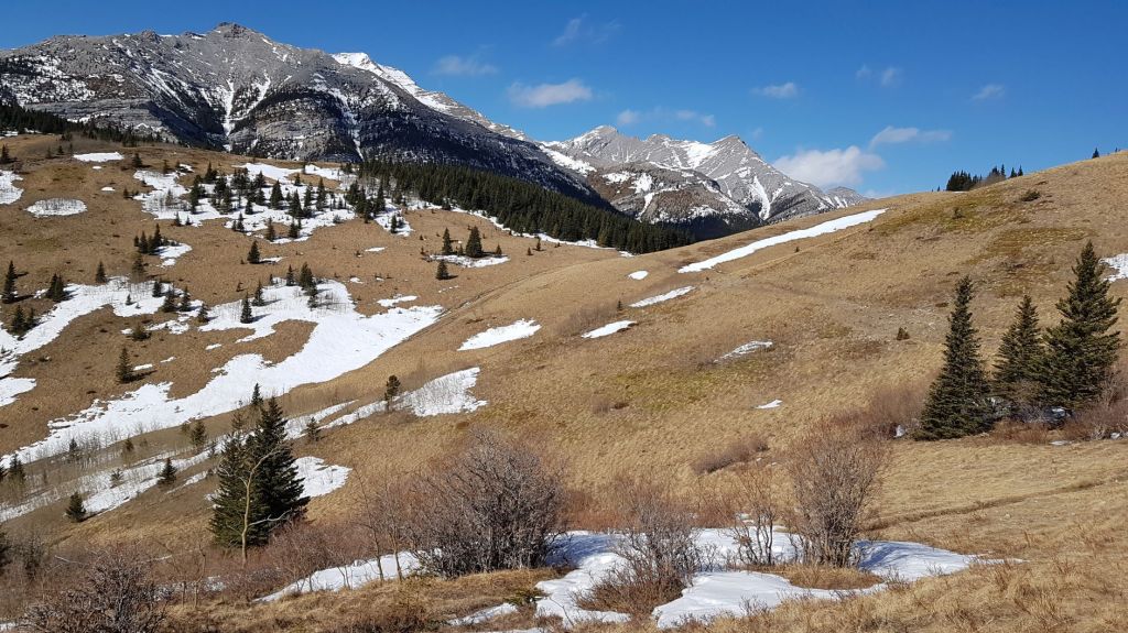
Grass Pass was a last minute destination. The west winds can be absolutely brutal, and they completely blew us off Junction Hill. After deciding that it was too early in the day to call it quits, we found a nice sheltered hike just down the highway. Grass Pass to the lone limber pine turned out to be a great idea, because A) we were out of the wind for almost the entire hike, and B) the views of the surrounding peaks was actually quite impressive. If you only have a short amount of time or want something less demanding, then Grass Pass is a lovely hike.
Gear
Hiking boots, poles and your regular day pack kit.
Overview
From the trail head, hike up until you reach Grass Pass. From there, turn right and contour around to the top of the ridge. Stop at the trees. Return the way you came.
Parking and Trail Head
The ideal parking spot is the newly redesigned Sentinel Day Use area on Highway 541.
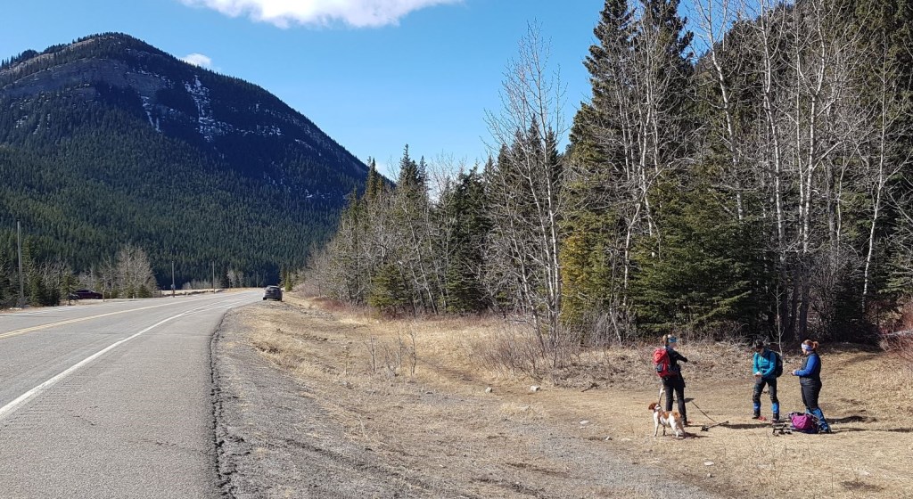
Walking east from the Sentinel parking lot, we found an opening in the trees on the north side of the highway.

Main Trail
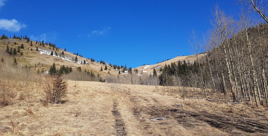
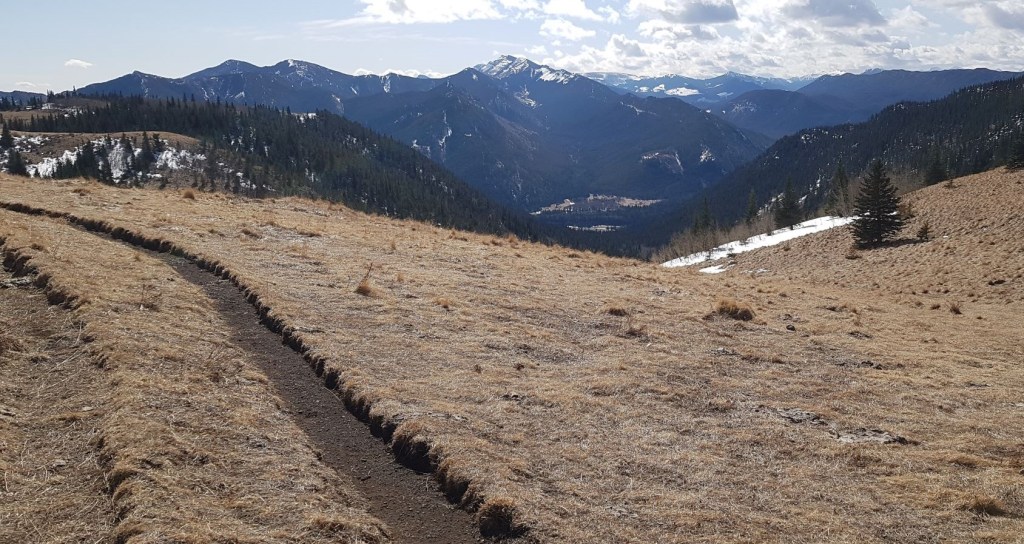
Once on the trail, it is a straight shot up the valley. The trail is sometimes tight, and sometimes wider. This area is used for cattle grazing in the summer and fall, so we were expecting lots of cows, but only found their resulting cow patties.

After about 1.8 km, the trail widens out, and we got a view of Grass Pass up ahead.
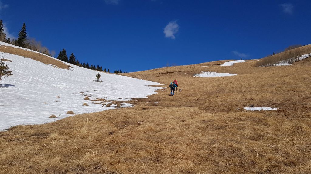
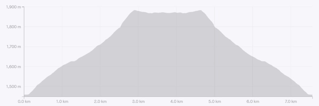
Distance to Grass Pass is 2.8 km and an elevation gain of 423m. Time to hike was about 1 hr 15 minutes. Once at Grass Pass, there is no harm enjoying the views from here and turning around.
Boundary Pine
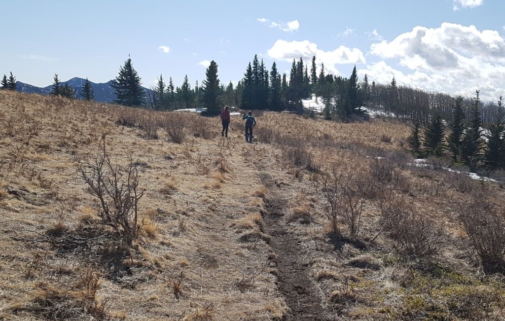
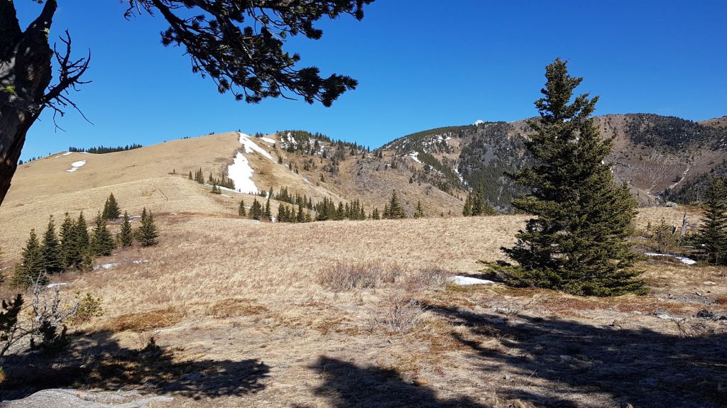
To visit the Boundary Pine, we turned right (east) at the Pass and followed the curve of the hill as it wraps around. This is called Fir Creek Point Trail. We were not tempted by the higher trail, as that takes us over to Bull Creek Hills.
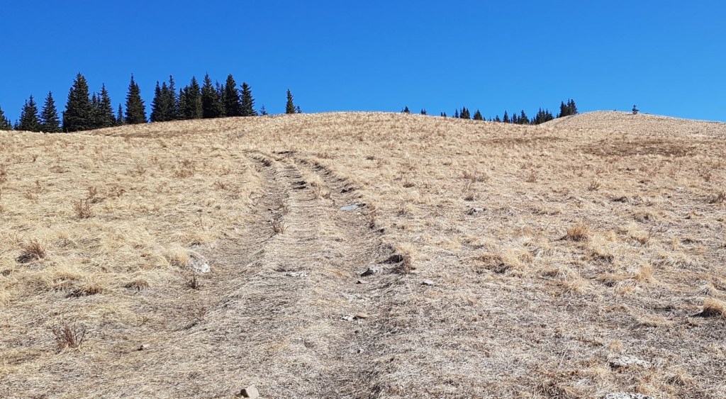
Fir Creek Point trail will eventually peter out at the top of the ridge, at a copse of trees.
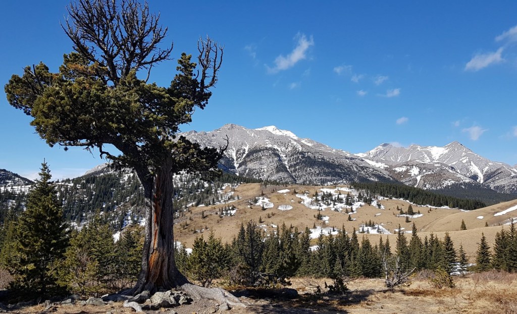
There is one beautiful limber pine tree by itself that is the much sought after Boundary Pine. According to the Daffern’s, this tree was made famous by R. M. Patterson’s book The Buffalo Head. Click the links to see the tree in all its glory.
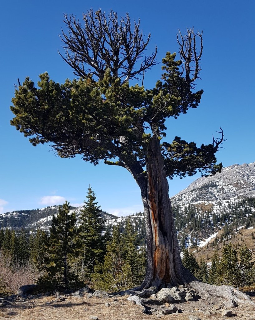
Distance to Boundary Pine is 3.7 km, no increase in elevation, and an extra hiking time of about 20 minutes. Well worth the effort.
Boundary Pine and Grass Pass Return
After we had our fill of the views, we returned the way we came.
Grass Pass was an unexpected trip, but I am so glad we made the effort. It’s a lovely little hike, ideal for beginners, kids, or anyone who doesn’t want to spend all day to get some views. Be aware of the cows in the summer.
If you found this post useful, please do me a huge favour and click the Star button to “Like” it. You can also follow my blog, follow me on Instagram, or join my FaceBook page Al’s Adventurers.
Alisen
Totals – Tracked on Strava
Date: March 19, 2021
Group: Four (Alisen, Sonya and two buddies)
Distance: 7.56 km
Elevation: 447 m (1,475′)
Time: 2 hours 42 minutes (includes breaks)

I love all things mountains! I live next door to the Canadian Rocky Mountains, however I travel the world to enjoy the many different mountain environments and cultures that I can. I hope you enjoy these trip reports, and that it inspires you to accomplish your own adventure goals.

That looks to be a lovely hike.
Thank you. I didn’t have high hopes, but it turned out so nice.
Those are the best kinds..
🙂
🙂 thanks for sharing
Looks like a great early or late season option. I’ve only done a couple ofnhikes in this area. Grass Pass seems to be a good name for it too. 😊 Maggie
Yes, ideal for shoulder season. You can link it up with either Gunnery on the west, or Bull on the east for a longer day, but two cars would make it easier.
This looks like a really neat hike!
A beautiful hike! I especially like (by the looks of it) around Boundary Pine.
Oh yes, you know it. That is by far the best part of it. Everything else is just a run up to the views by the pine.
Awesome.
Very nice to see you enjoying the mountains and generally nature almost on weekly basis! Well done!
And the lonely Boundary Pine, looks very nice. I guess standing next to it was very impressive.
Thanks buddy! I try to get out to the mountains several times a week. I’m in the ‘deep’ mountains (about a 3 hour drive) once a week, and then I try and do a hike close to home (about an hour drive). The driving is what really gets me. I think if I could live closer, I’d be there even more. I’m lucky that my family and friends share my mountain obsession, so we take turns driving and planning the routes.
Looks like a great hike with nice views. Great shots of the Boundary Pine. It looks impressive and strange both at the same time. Thanks for including a link so we can see what it looked like in all its glory.
I have to give full thanks to one of my hiking buddies for suggesting this hike. It was fun to read about it after the fact – the original landowner was quite a prolific writer. I’m glad we have some photos of it before it’s decline. I’m hoping it can hold on and revive itself, but only time will tell.
Super!
Lovely hike it is
Thanks! It’s a beautiful part of the world.
Looks so awesome!