November 3, 2021
I always save a few hiking routes that are ideal to do in the spring and fall. These routes are dry when higher elevations are still wet and muddy in the spring, or are snow-free in the fall. Mustang Hills is one of these early or late season hikes. It’s also an ideal short hike for kids, as you’ll see in the photos.
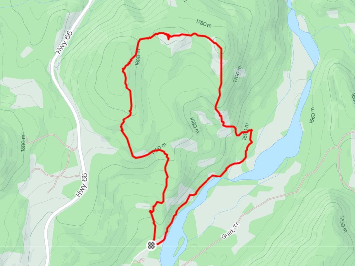
For such a small hill, there are a surprising number of routes, with three different access points! I wanted to do the full loop, so I started from the Cobble Flats Day Use area, and went clockwise to the main Mustang Hills summit, and then continued to the Mustang Hills East Summit. The two other access points are both off Highway 66 and offer much shorter There and Back trips.
The Loop Full Disclosure – the return trail from the East Summit to the Day Use area along the Elbow River is not in great shape. It has crumbling river bank walls and some exposure. What is a mild adventure for some, could be quite distressing for others, especially since the rest of the hike is so low key.
Road Closure
Highway 66 is closed annually from December 1 to May 14th. The road is closed at the gates by Elbow Falls. Access to Mustang Hills is beyond the gates.
Gear
Hiking boots, poles, and regular day pack. Gaiters if there is snow.
Overview
From the Cobble Flats Day Use area, we headed up to gain the ridge, passing by a large logging area. Once on the trail, we followed the path and some flagging to the main Mustang Hills Summit. We continued to the East Mustang Hills summit, passing by a fun camp that is easily accessed from Highway 66. From the East summit, we followed the ridge down to the Elbow River, passing through a boggy area we were glad was frozen solid. We walked along the rocky bed of the Elbow River for a bit before gaining the hill side once more. Here, we traversed several washed out sections of the bank. Once past this, it was again an easy walk back to the parking lot.
Parking and Trail Head
Heading west on Highway 66, we turned left to the Cobble Flats Day Use area, and drove back east to the parking lot. Forget-Me-Not Ridge is directly above. I’ve looked down on this side road a few times, and always wondered just where the heck it lead. Now I know!
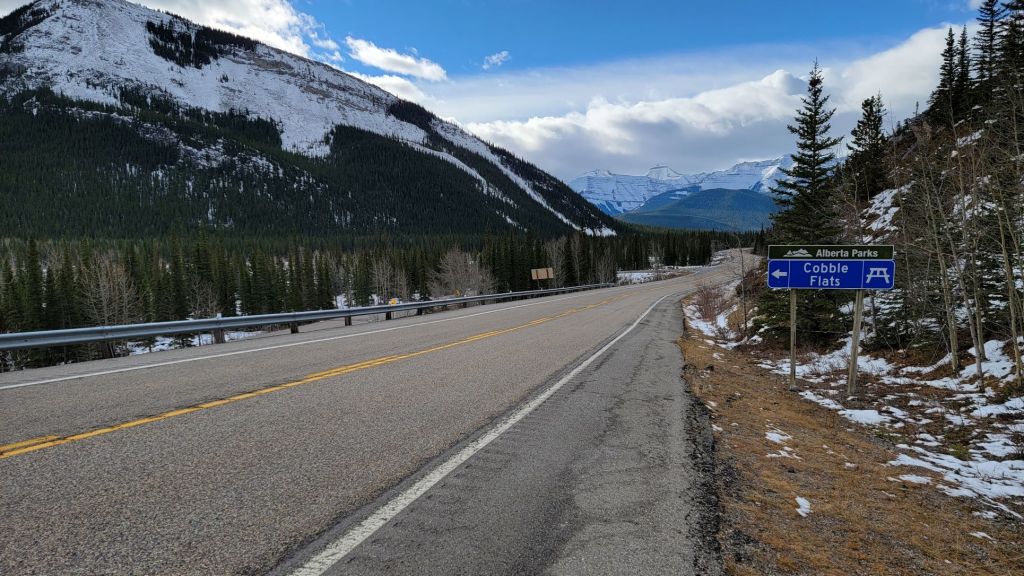
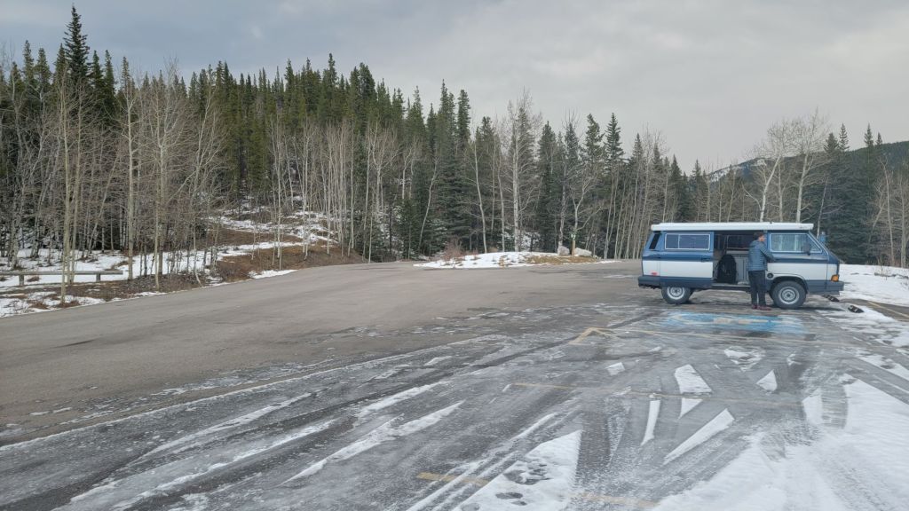
The start of the Mustang Hills Loop is on the left (north) side of the parking lot. There are a few trails, but we chose the one with the most elevation gain right off the bat.
Main Trail
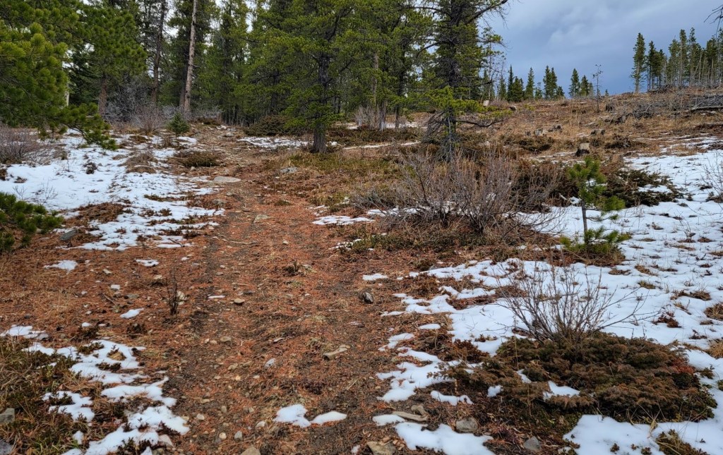
The trail immediately widens out, and is a pleasant walk through the forest.

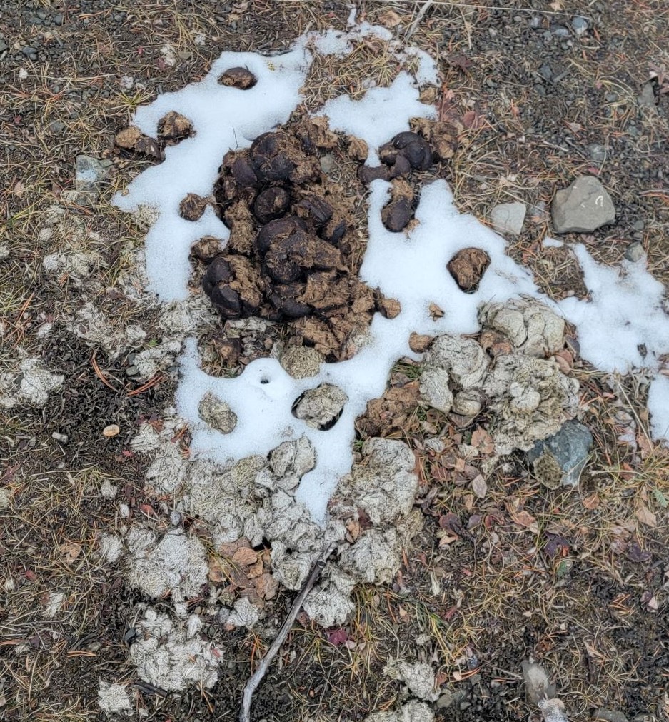
Wonder why it’s called Mustang Hills? Probably because of the wild horses that live out here. My friend Sue told me that the wild mustang horses mark their territory with piles of poop.
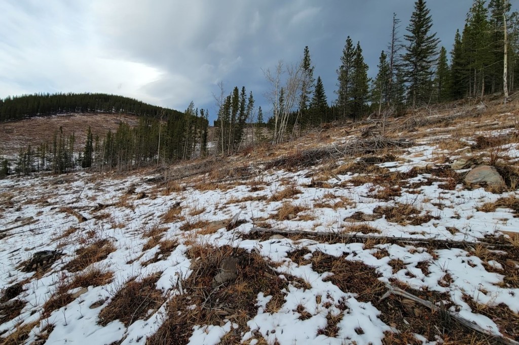
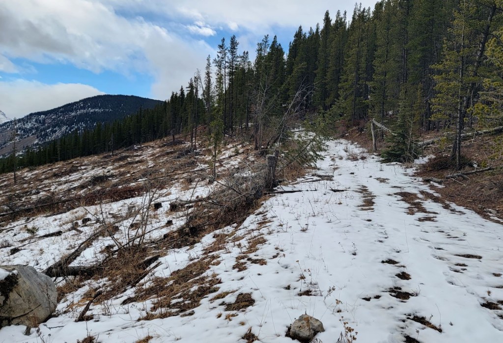
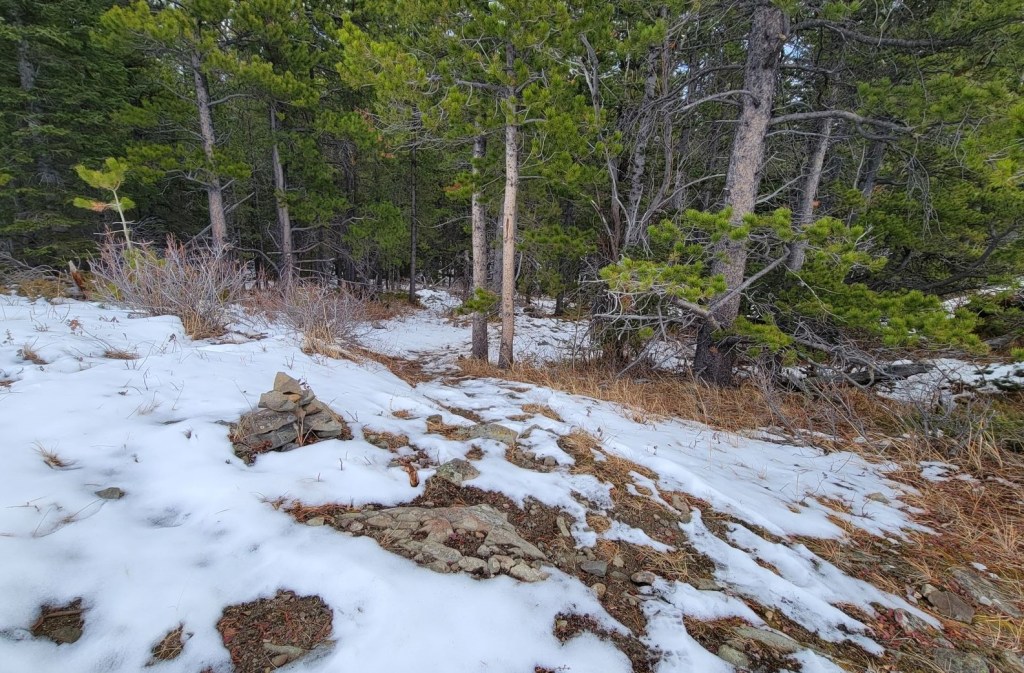
Unfortunately, this lovely trail abruptly ends in a large swath of clearcutting. I’m not sure when this was done, but it’s not very pretty right now.
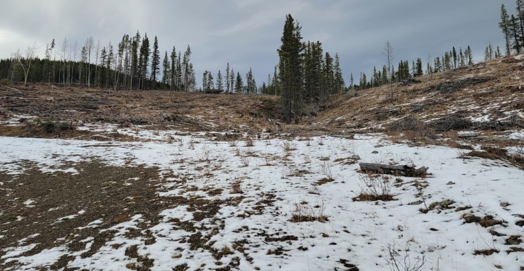
The trail on the map is supposed to make a graceful arc to the right to gain the ridge. We couldn’t see anything that remotely resembled a trail in the cut block, so we instead just headed across the open slope, angling for a break in the trees on the ridge. This turned out to be the right spot, and we were able to pick up the trail again.
We hiked in the trees, following the wide trail. At just shy of 2 km from the start, there was some flagging. This marks a trail that leads down to Highway 66.
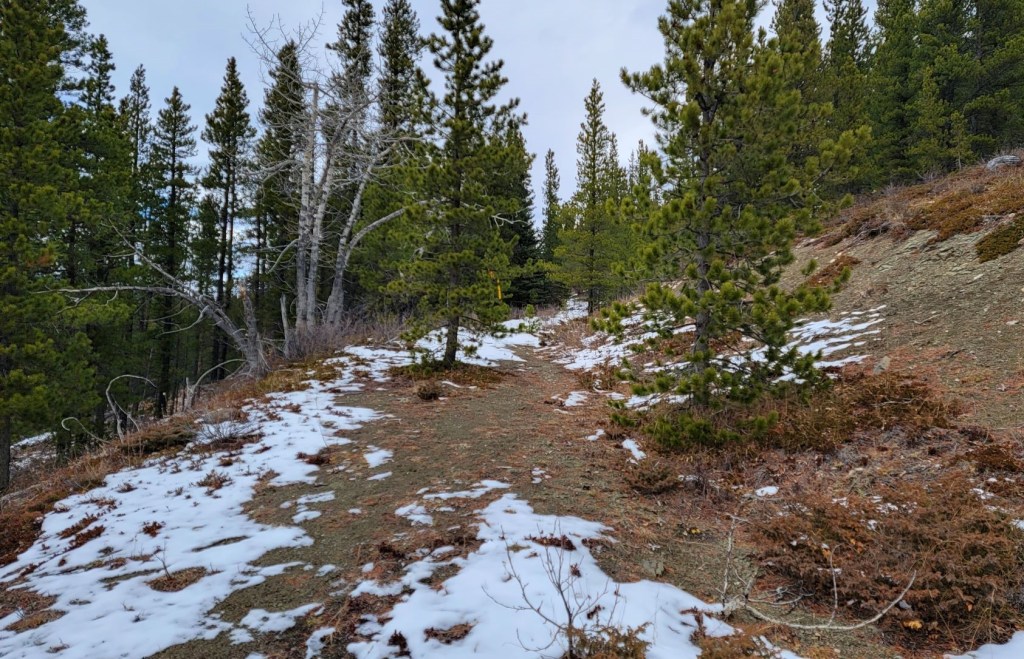
Just a short distance down the trail is another flag. This one marks a trail on the right that leads to Mustang Hills summit.
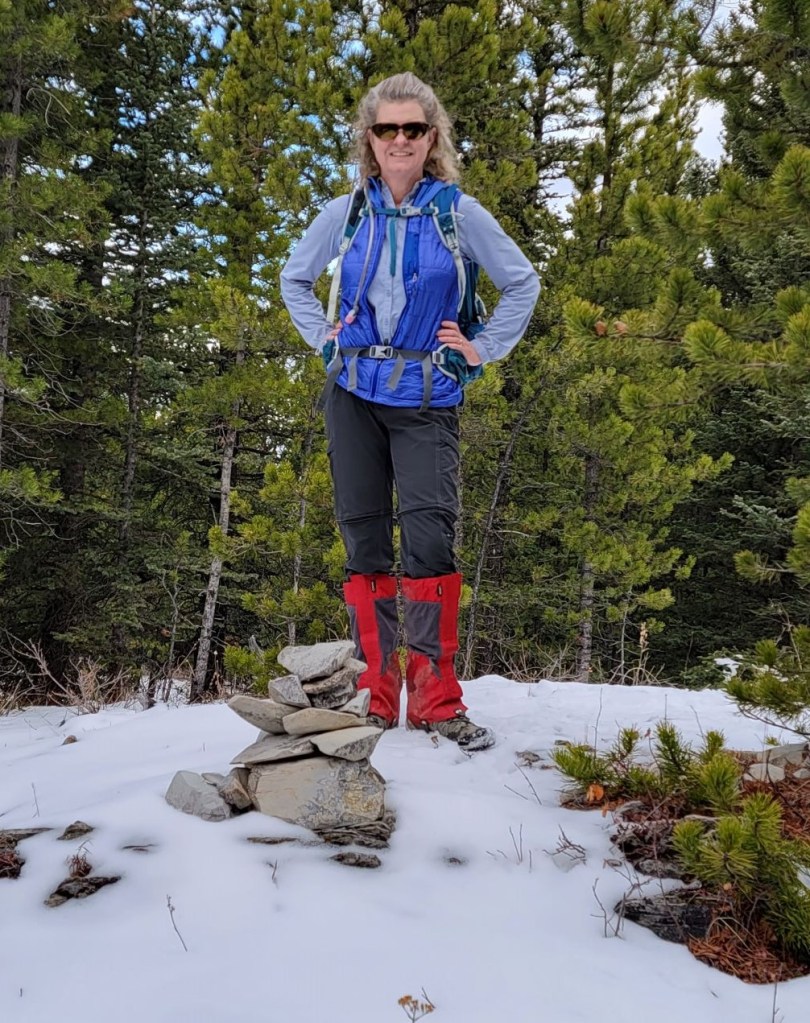
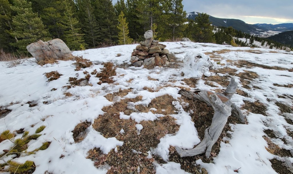
The hike up to the summit is through a forest, with a fairly defined trail. The summit might be easily missed if it wasn’t marked by a cairn.
Mustang Hills Main Summit to East Summit
We continued past the summit, and started to lose elevation as we made our way to a bump between the Main and East summits.

We hiked back up, and came to a little clearing with some logs to sit on. While it’s tempting to keep walking straight along the open slope, instead look for a cairn on the left. This leads to another downhill section.
We again gained back the slight elevation loss, and came to the East Summit. This is also accessed via Highway 66, and it looks like a great place to bring young kids. Lots of places to sit, and a big cairn.

East Summit to Elbow River and Parking Lot
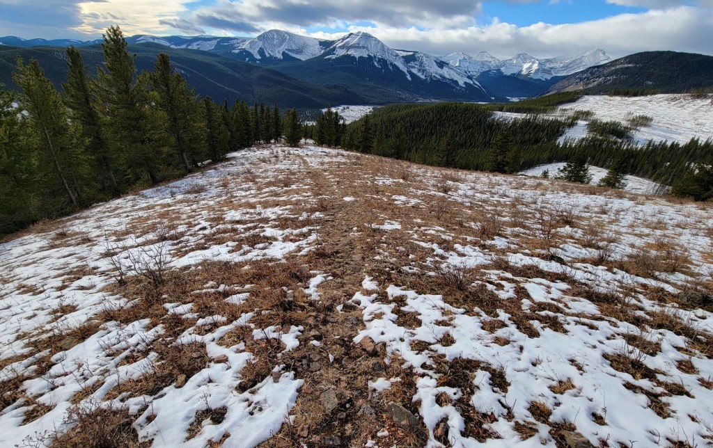
To descend from the East summit, we stayed on top of the ridge, and hiked straight down.
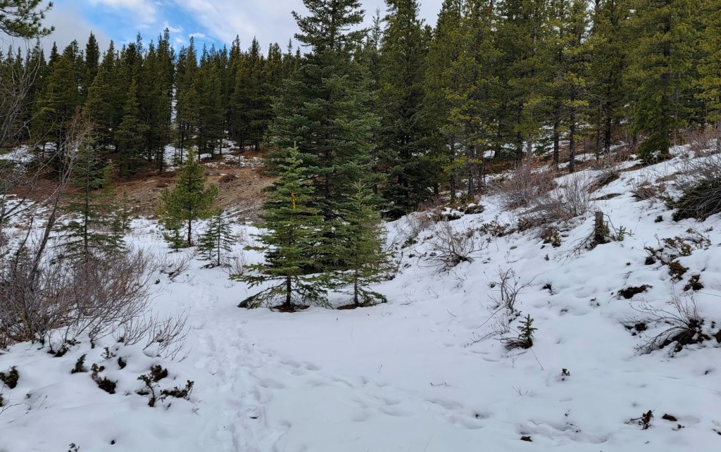
Near the bottom of the ridge, we entered the flats. Some of it was marked. As we hiked a bit further, we entered a boggy area. I was very thankful this was frozen solid, otherwise it would be a mess when wet.


Once through the bog, we popped out onto Elbow River and walked down the rocky shore. We regained the trail on the right. The bank was washed out in a few places. A slip here would be a dunk in the river.
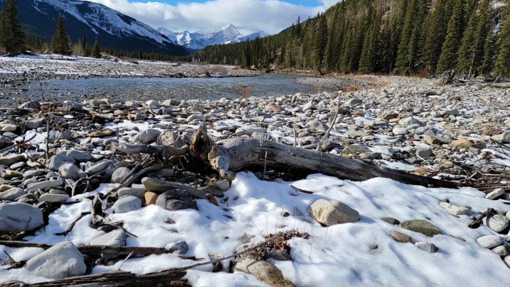


The trail finally gained elevation away from the river, and then lead right back to the Cobble Flats Day Use area.

Mustang Hills is an ideal loop for a late season hike before the road closes for the season. Be sure to go when it’s dry to avoid any unnecessary muck and mud in the boggy area.
If you found this post useful, please do me a huge favour and click the Star button to “Like” it. You can also follow my blog, join my FaceBook page Al’s Adventurers, or follow me on Instagram
Alisen
Totals – Tracked on Gaia, Displayed on Strava
Date: November 3, 2021
Group: Two (Alisen and Mike)
Distance: 6.9 km
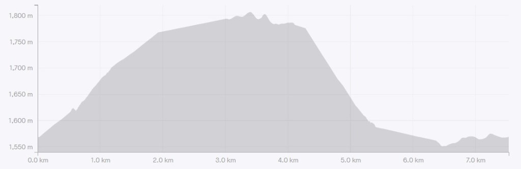
Elevation: 301 m (993′)
Time: 2 hours 38 minutes (includes snack breaks)
I love all things mountains! I live next door to the Canadian Rocky Mountains, however I travel the world to enjoy the many different mountain environments and cultures that I can. I hope you enjoy these trip reports, and that it inspires you to accomplish your own adventure goals.

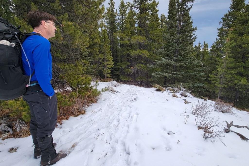
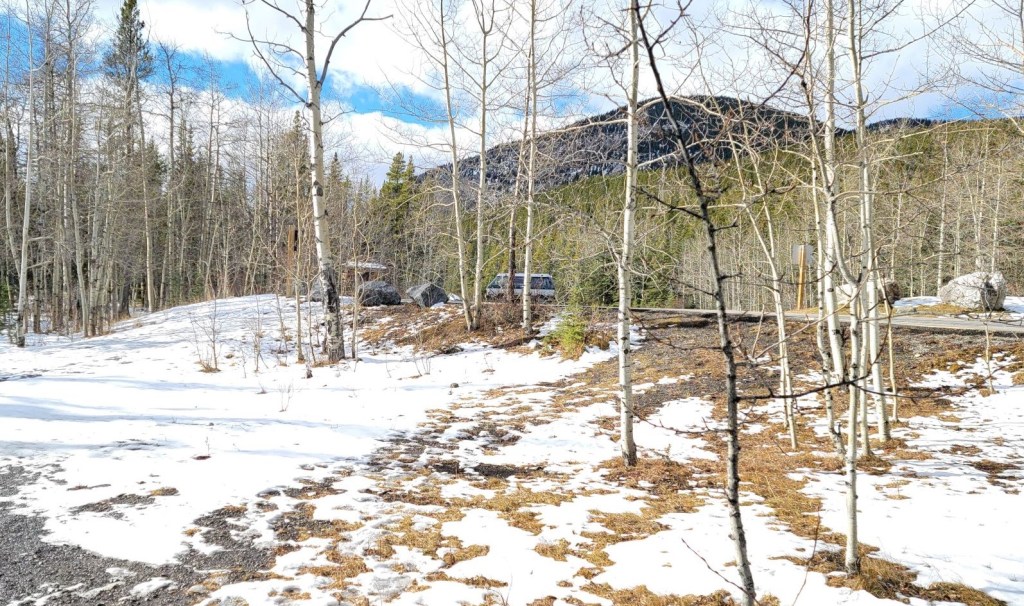
Very snowy area to hike.
Yeah, a bit of snow had fallen in November. Not bad though – no snowshoes or skis were needed.
More Steve!!
Steve needs a heater, then he could come more often 🙂
I continue to be impressed at your navigational skills. This looks like a pleasant hike and glad to hear that it wasn’t too muddy.
Thanks Linda 🙂 Navigation is an art and a science. I am actually taking an advanced map and compass course in June to up my skills a bit more. Navigating in known areas (even on a few trail) is a bit easier because I can do situational awareness to nearby landmarks, but to go into a completely new area requires a bit more skill. Hence, the course. Wish me luck!
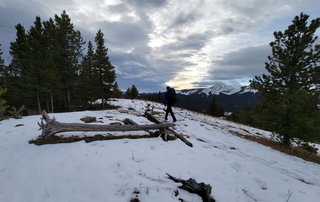
Beautiful scenery!
Thanks. Late fall is a bit past its prime, but it’s still a beautiful part of the world for sure.
Breathtakingly beautiful scenes.
Thank you! It’s a nice part of the world for sure.
Definitely!