May 1, 2022
I’ve viewed the south Peak of Mt. Kent from a few different locations. The first time I really looked at it was from the south peak of Mt. Lawson. I then viewed it from the other side while backcountry skiing on Gypsum Ridge and Black Prince. It was finally time to head on up.
I did this as a winter hike. Unlike Lawson where I lead the entire way without a trail because I could just stay on the crest of the ridgeline, this trail meanders through the forest, gaining elevation the whole way. I knew we were off the ‘main’ trail about half way up, but that’s how it goes with winter tracks. I could have punched in my own, but why? If you go next winter, you might be on a completely different line.

For snow safety and avalanche considerations, we kept to the trees when traversing the higher slopes just below the summit. As always, follow the Avalanche Canada bulletins, and do your own risk evaluation and slope analysis. As I hiked this in early May, I was looking out for quickly warming snow temperatures, and would have bailed if the falling snow had turned to rain.
Gear
Hiking boots, poles and regular day pack kit. As this was in the winter with fresh snow, we had gaiters, microspikes and snowshoes (which thankfully stayed stowed on our packs).
Overview
From the highway, walk straight up and cross the High Rockies Trail. Look for a small opening in the trees. Continue hiking up through the forest, generally staying on the ridge. At the small saddle below the summit, look for the break in the trees. Hike to the summit. Return the same way.
Parking and Trail Head
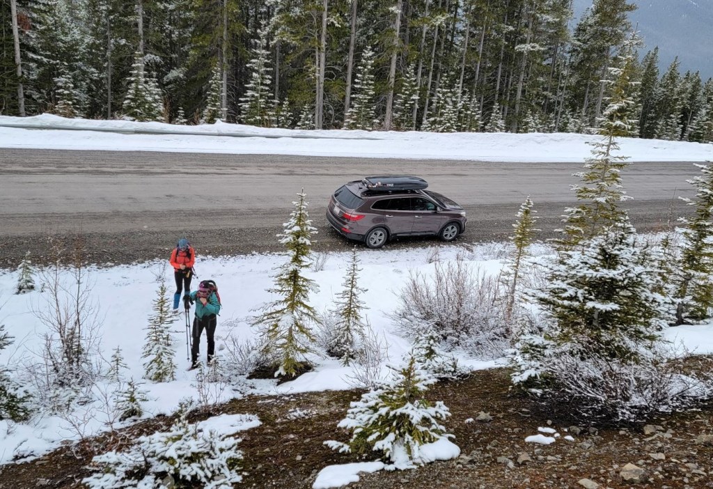
From Kananaskis Lakes Trail, turn onto the Smith Dorrien Trail for 5 km. Look for the Twisty Road ahead sign on the right. Pull way off the highway and park.

Hike straight up the embankment to the High Rockies Trail. The entrance to the hike is just a small opening in the trees. Continue straight up.


Main Trail
Once we found the start, it was just a matter of gaining elevation as we trudged up the mountain. There were tracks in the snow, which meant we didn’t have to break trail. In general, the trail follows the ridgeline, but as it’s fairly broad, there might be some meandering back and forth.
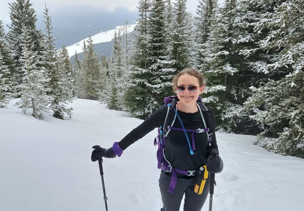
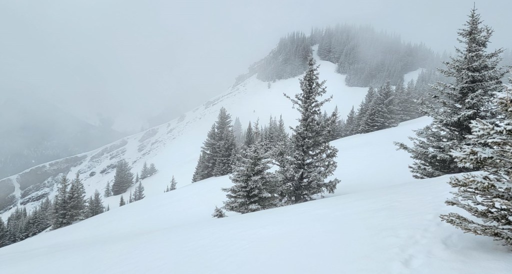
This is a really uneventful hike. The only real change we saw as we gained elevation was the change in the trees. The forest went from tight spruce, to spaced out spruce, to some open slopes where we turned around to glimpse the odd view.


All three of us managed to fall off the packed trail and post-hole a few times, but Sonya managed to do it ‘best’. She was by far the deepest. In true Dopf style, I took a photo before helping her out. Hey – she was fine 🙂

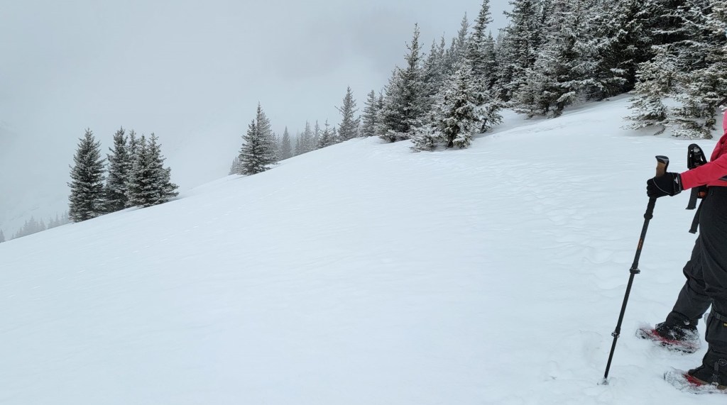
When we gained the top of the ridge, there were a series of open meadows. We were careful to stay close to the trees, and didn’t stomp out across the unsupported snow.
Looking across, we saw the dip that leads to the summit.
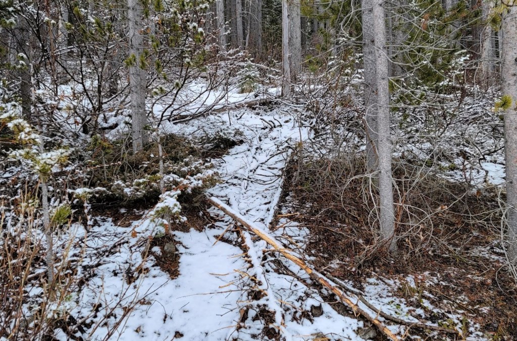
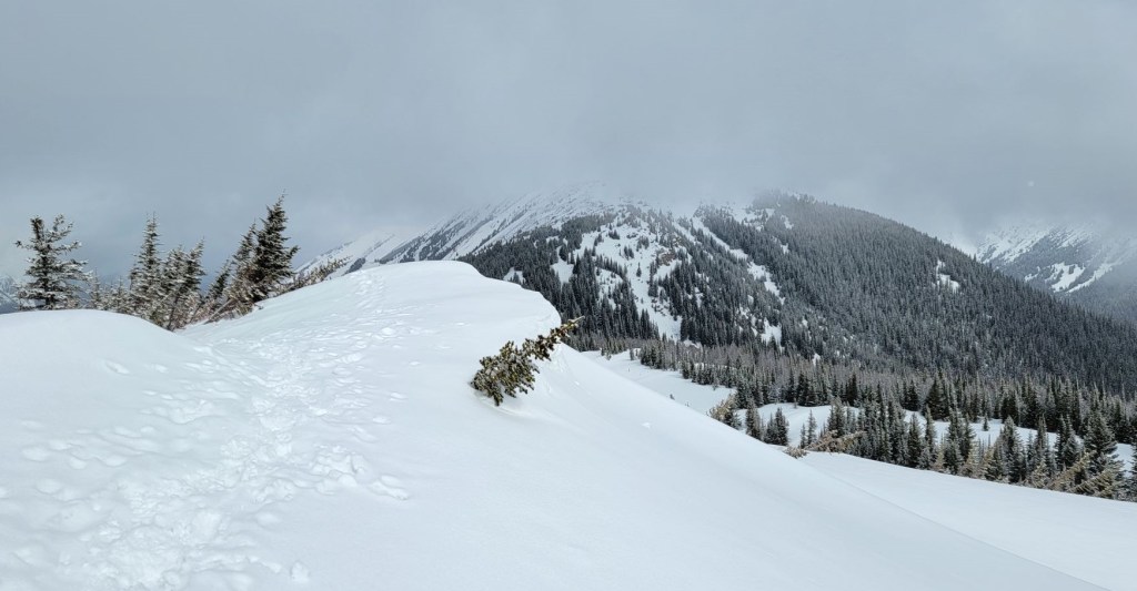
We had one more forest section to hike through. The ‘secret’ entrance is the absolute best. Erin said it looked like we were entering Narnia.


We were in a foggy soup of cloud all day, so we were not expecting any views. Good to know the old adage of Alberta weather holds true in the mountains as well – if you don’t like what you see, wait five minutes!

Distance to summit is 3.4 km, with an elevation gain of 551 m. Time to summit was 1 hour and 45 minutes.


Kent South Peak Return
As we were not backcountry skiing, the return route was the same way we hiked up. As the sun was now out, we were keen to get off the quickly warming snow. We chugged down the mountain as quickly as possible, trying to avoid any unnecessary post-holing.
With the warmer weather of early May, we were smart to start early. The day was warming up, and the snow was starting to degrade as we descended. The snow was still firm and held our weight, but it would have been a miserable trip with post-holing the whole way if we’d gone any later.
As always, do your own research for winter routes, follow avalanche forecasts, be extra careful after a storm, or during rapidly warming spring temperatures.
Kent South Peak is an enjoyable half day hike with amazing views for not a lot of effort. It’s a typical Kananaskis Country route with nary a switchback
Thanks for reading! Please do me a huge favour and click the Star button to “Like” it. You can also follow my blog, join my FaceBook page Al’s Adventurers, or follow me on Instagram
Alisen
Totals – Tracked Gaia, Displayed on Strava
Date: May 1, 2022
Group: Three (Alisen, Sonya and Erin)
Distance: 6.8 km
Elevation: 551 m (1,818′)
Time: 3 hours (includes break at summit)


I love all things mountains! I live next door to the Canadian Rocky Mountains, however I travel the world to enjoy the many different mountain environments and cultures that I can. I hope you enjoy these trip reports, and that it inspires you to accomplish your own adventure goals.

It’s impressive doing these kinds of trails when there is still a lot of snow on the ground, and the normal trails are covered. I would imagine it is very easy to get lost!!! Beautiful photos as always!
Thanks Ann. Luckily for me, the trail was beaten in quite nicely by previous hikers. Even though we were off the summer trail, the winter one was solid. I just didn’t want anyone to think that this year’s winter tracks are the ‘correct’ ones. Indeed, some of the places we went were not ideal, so hopefully the trail will be further east next winter.
Hi. A good, solid hike. Is the trail always figure-out-able, or is it possible to get lost?
Oh, it is always 100% possible to get lost in the mountains. I’ve done it several times 🙂 I’ve been doing this for over 20 years, so I’m pretty good now, but definitely a beginner hiker would have difficultly figuring it out, especially in winter.
It’s insane how deep the snow is when you stray from the main path. I got a good chuckle that you took a picture of your friend before helping her out. She seemed in good spirits otherwise I doubt she’d be smiling in that picture.
Yeah, Sonya’s a real toughie 🙂 I wouldn’t pull that trick with everyone, but I’m pretty sure she’d laugh good and hard before pulling me out too.