September 3, 2026
Right before the long weekend, Gail and I took a chance on the weather and headed out to Paget Peak. While it rained all around us, we stayed dry. Gail’s knee is still trashed, but she now has a brace. This was the trial hike.
The Paget Fire Lookout is a classic hike in Yoho National Park. The trailhead is right on the TransCanada Highway, so it gets a lot of attention. At only 7 km return and 500 m of elevation gain, this is a quick win for many tourists travelling through. For local hikers, nabbing the very accessible summit above is a must.
Gear
Hiking boots, poles and regular day pack kit.
Overview
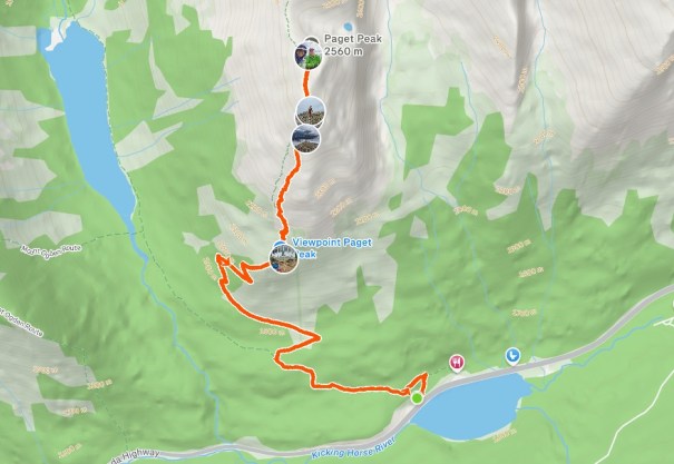
Start hiking from the Sherbrooke Lake trailhead. At the junction, go right (uphill) for Paget Fire Lookout. Hike past the lookout, and start gaining elevation up to the ridge. Hike the ridge to Paget Peak. Return the same way.
Video
Totals – Downloadable Tracks on Gaia, Displayed on Strava
Date: September 3, 2026
Group: Two (Alisen & Gail)
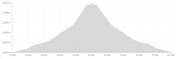
Distance: 10.03 km return
Elevation: 1,000, m (3,300′)
Time: 5 hours 3 minutes (includes lunch and breaks)
Parking and Trail Head
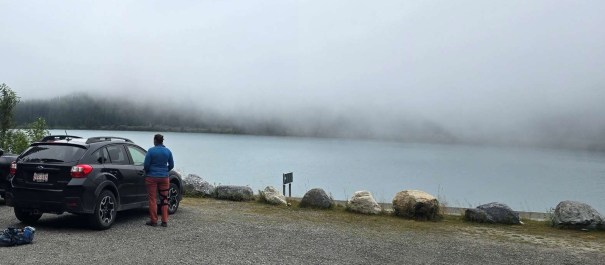
Parking is at the Sherbrooke Lake parking lot on the north side of the Trans-Canada Highway. The lot is ONLY accessible by westbound traffic.
IMPORTANT: to exit the Sherbrooke Lake lot, traffic must turn right (westbound) towards the village of Field. Turn around and head east further down the highway.
Sometimes the West Louise parking lot is open and accessible. This is the preferable parking lot, and is often plowed in the winter for backcountry skiers. From this parking lot, the trail connects with the main Sherbrooke Lake/Paget Peak trail on the other side of the gate.
Main Trail
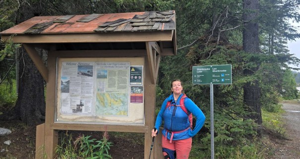
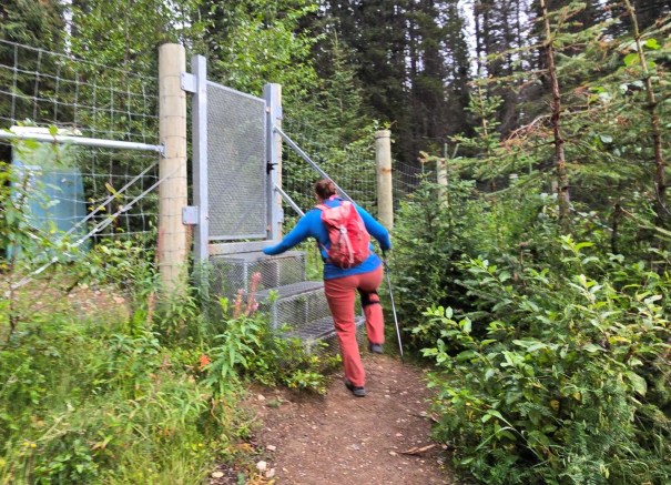
Once parked, step up and over the barrier. Hike the trail for 1.5 km.
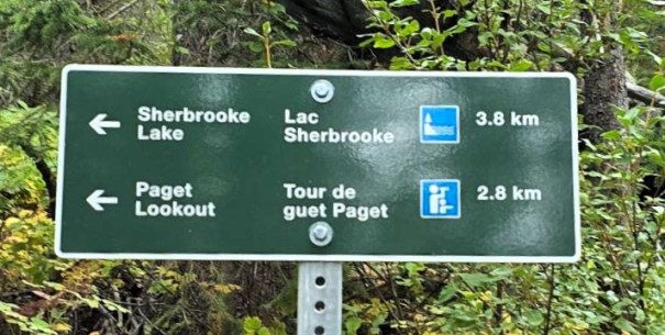
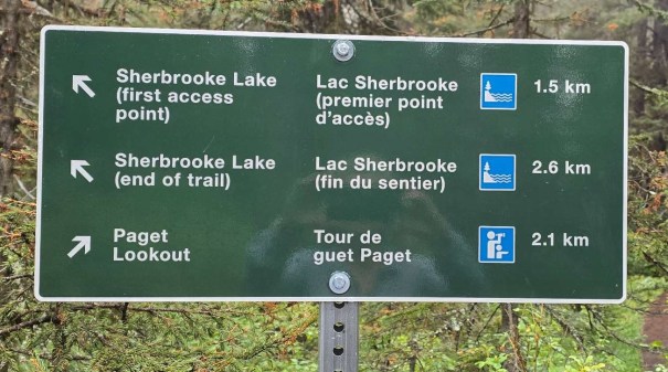
At the junction, go right (uphill) for Paget Fire Lookout.
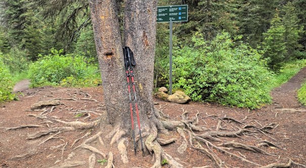
Keep hiking in the trees. When a large rock wall appeared, we knew we were close to the Fire Lookout.
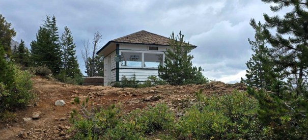
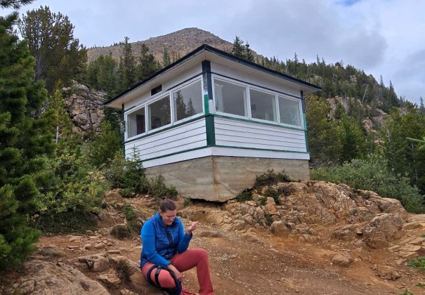
Paget Fire Lookout
Distance to Fire Lookout was about 3.5 km, and just over 500 m elevation gain. Time to summit was about an hour and 10 minutes.
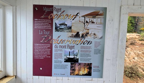
The Paget Fire Lookout was built in 1944, and was in use up until the late 1970s, when it was retired. This is the only remaining fire lookout in Yoho National Park.
Gail used to work at a Fire Lookout, and told me awesome stories. One time, her tower got hit by lightening and knocked out her radio. Unable to reach her, a helicopter showed up to ensure she was okay, and fix her radio. She also had a curious black bear visit her nightly. The waste system at her tower was less than desirable. The waste water would just flow out from the hut, and the bear loved to dig through it, looking for treats.
Gail had to do a lot of maintenance, and had some Forestry Green paint for exterior touch ups. The curious black bear managed to get into the paint, and was soon streaked with green.
Paget Peak Summit
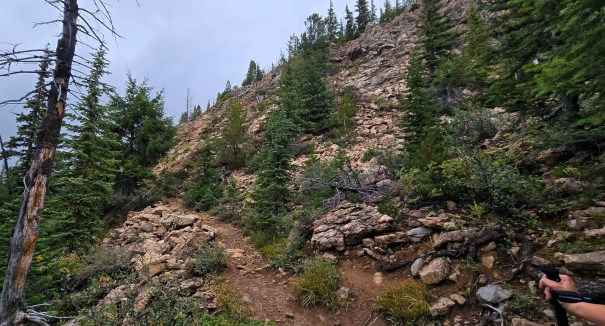
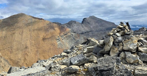
After some snacks and water, we continued up to Paget Peak. The trail was very strong, and gained elevation quickly. There was an option to avoid the rock wall, but where’s the fun in that? Very easy scrambling got us to the top of the ridge.
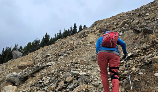
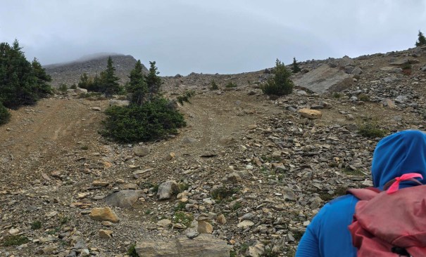
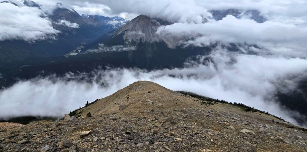
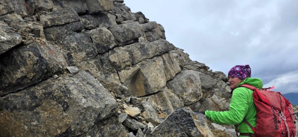
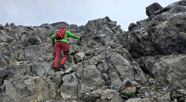
We then hiked the ridge top to the summit of Paget Peak, going past one small downclimb.
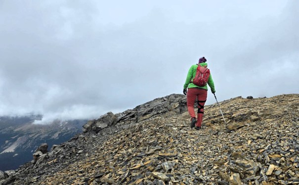
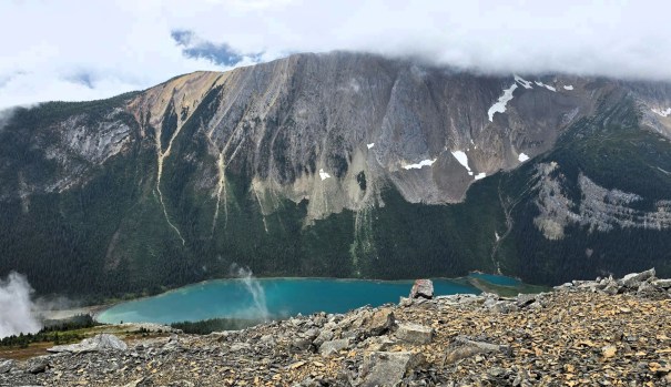
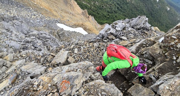
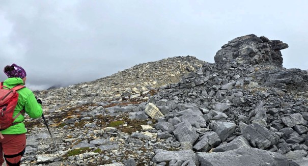
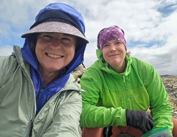
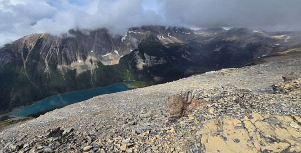
Time to summit was 2 hours and 50 minutes (includes stay at Fire Lookout). Distance was 5 km and ~1,000 m elevation gain.
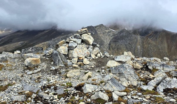
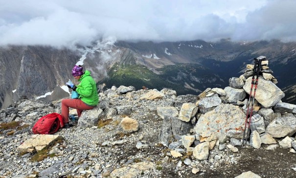
Paget Peak Return
After a bit of a summit lounge, and noticing that rain was coming down everywhere but on us, we made our way down. We took a slightly lower route from the summit, and hiked along a bench. There were multiple trails to follow on the descent, and we followed what looked like the easiest. Both Gail and I do not have the best knees, so an easier descent is always better.
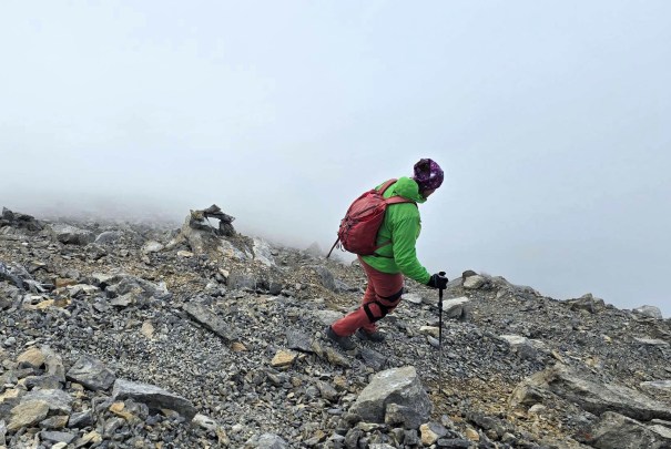
Once back at the Fire Lookout, I took some more photos, and we then continued down to the trail head.
Wrap Up
Paget Peak and Fire Lookout are both quick wins for Yoho National Park. The trail was not busy, despite being so close to the highway AND a long weekend. No one but us ventured past the Fire Lookout. An awesome summit to add to your list.
Thanks for reading! You can follow my blog, join my FaceBook page Al’s Adventurers, or follow me on Instagram
Alisen

I love all things mountains! I live next door to the Canadian Rocky Mountains, however I travel the world to enjoy the many different mountain environments and cultures that I can. I hope you enjoy these trip reports, and that it inspires you to accomplish your own adventure goals.


Nice one Ladies! Way to stay dry.
Way to go, Ladies! Nice job staying dry.
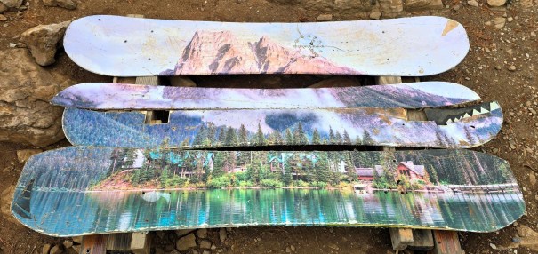
Geez, that looks steep! Pretty, though. I like the snowboard bench, too; it’s too bad it’s broken.
Interesting to hear that this is the only remaining fire lookout in Yoho. It’s pretty cool how your friend actually used to work at a fire lookout. Beautiful views along the ridge and summit. And what a bonus that the trail wasn’t busy.