October 7, 2026
Ever look at a mountain and think, yikes! That looks intimidating. That’s what I think every single time I see Crowsnest. Part of the illusion is that it is all alone – no other mountains around to block the view of its majestic glory. The other part is because I am looking at the hard part of the mountain from the highway. The route up is on the other side.
Just like any other mountain, Crowsnest is climbed one step at a time. Crowsnest was actually a lot of fun, and enjoyed the challenge and the amazing views.
We got super lucky with the weather. October can be very windy, and Crowsnest Pass is known for hurricane force winds on a good day. Not sure what gods we prayed to, but we only had a slight breeze at the summit.
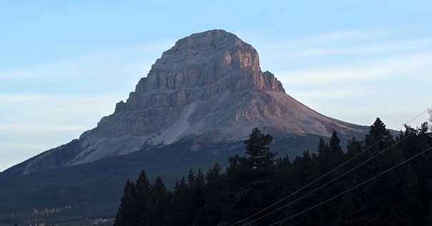
Gear
Hiking boots, helmet, poles and regular day pack kit.
Overview
Crowsnest Mountain has four major sections. Hike up through the trees. An unconsolidated scree-fest to the base of the gully. A gully ascent, made easier with a chain system. Finally, the requisit scree to the summit. Return the same way.
Totals – Downloadable Tracks on Gaia, Displayed on Strava
Date: October 7, 2026
Group: Two (Alisen & Mike)
Distance: 7.9 km
Elevation: 1,126 m (3,715′)
Time: 6 hours 10 minutes (includes lunch and breaks)
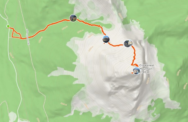
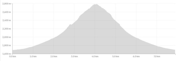
Parking and Trail Head
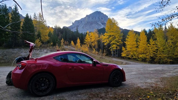
From Highway 3, we headed north on Allison Creek Road. This started out paved, then turned to gravel. No problem until it turned into a logging road. No problem, unless you happened to bring your BRZ. Thankfully this is a Subaru, so it survived. On the way out, there was some active road work, and the conditions were even worse. Had we known, we might have parked a ways back and walked up. Regardless, the funny looks from the ATV crew was worth it.
There are no facilities at the trailhead, so we stopped at the Atlas Staging Area. There is a double pit toilet, but BYOT.P.
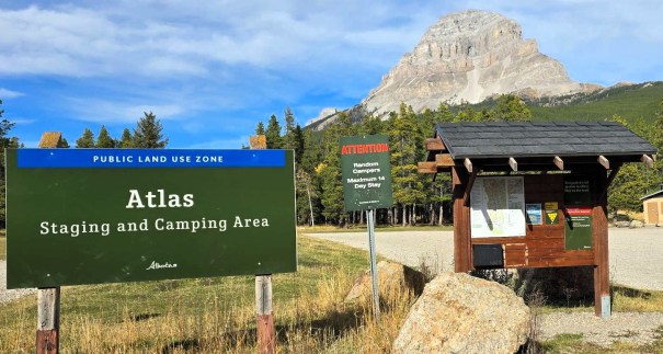
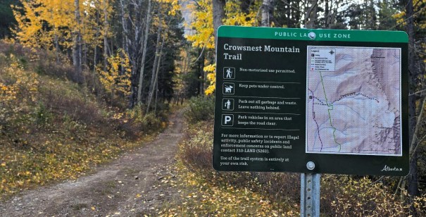
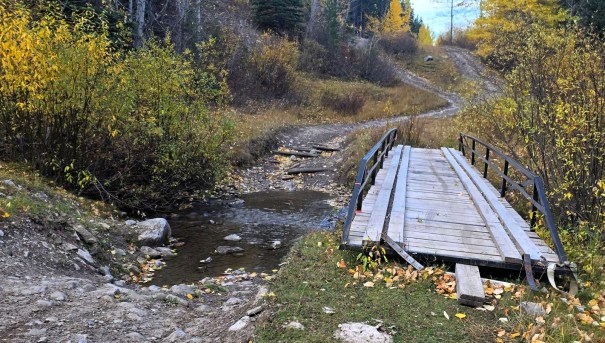
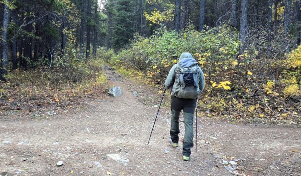
From the trailhead, start walking straight up from the sign. We turned right and took the bridge, but there is an alternate route that heads into the trees. We took this way on the way down, and the verdict is to avoid. Lots of deadfall, and probably took longer than going around.
Main Trail
The trail is obvious and straight up. We got our first view of the pinnacles, but otherwise we were in the trees.
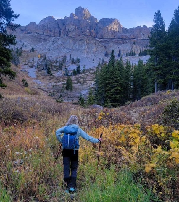
We broke out at the base of the scree. Here, we stopped to put on our helmets, even though we were the only ones on the trail so far. Other trip reports warned of rock fall from other scramblers, especially in the gully. There is a good trail in the scree to start, but it does braid so keep an eye on it.
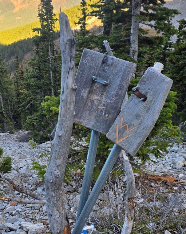
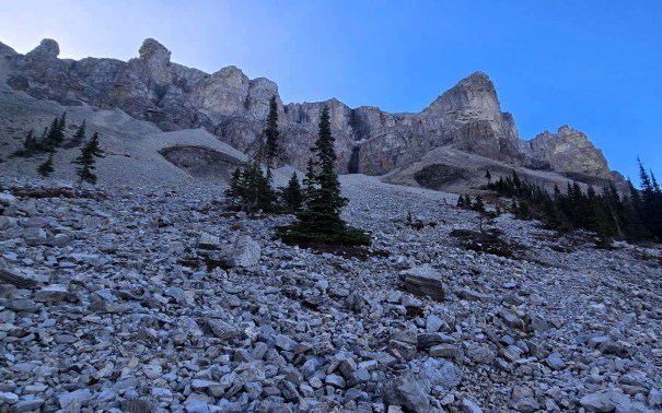
There is a giant green arrow painted on the side of the mountain, indicating to go right. I found the scree pretty annoying further up, and instead opted for the more consolidated black dirt on the right. This to a short scramble up a wall, which was good fun and broke up the scree.
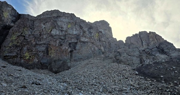
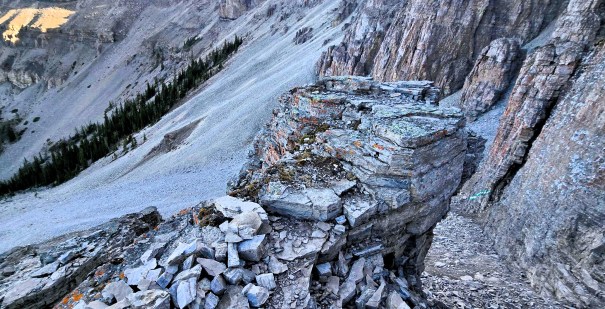
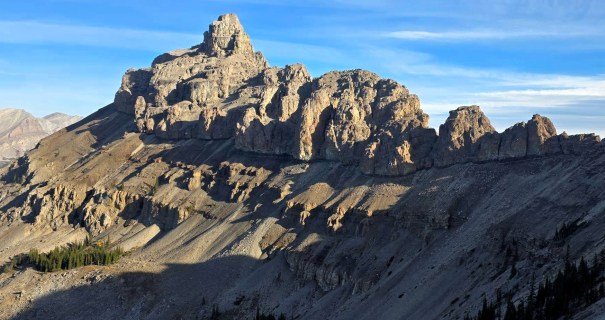
There was more scree above, which lead to a short rock wall. I went too far right, and scrambled up a narrow gully. This was nice rock and good fun, but at the top we realized we were too far right. No problem. There is a nice traverse across to the left. Along the way, I saw the ‘proper’ ascent route, and we took that back down. From there, it is a good trail through the scree to the base of the gully.
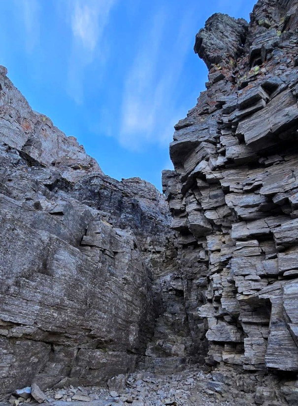
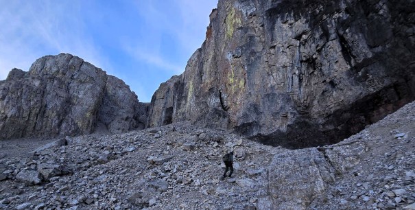
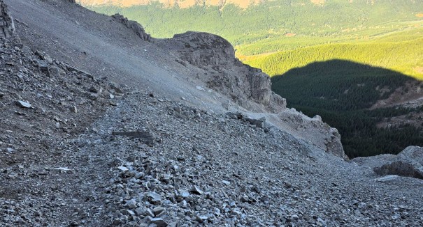
The Gully
The gully was better the higher we got. The base was fairly wide, and is filled with the rocks pushed down from above. This was a full-on trudge, and we moved side to side, trying to find the most consolidated trail.
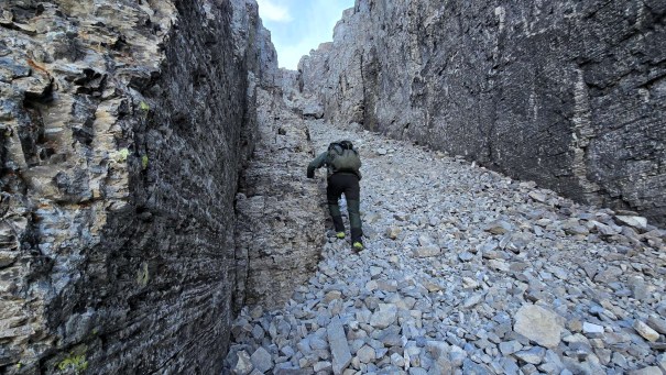
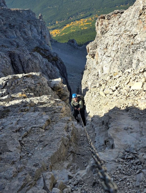
Once we got to the base of the chain, the gully narrowed considerably. There is a short wall to scramble up on the right, and then the chain magically appears above this. Mike went up first, and I followed. The rock was grippy, and there were lots of great handholds. The chain is segmented into bolts, so I could climb once Mike was through a section of chain.
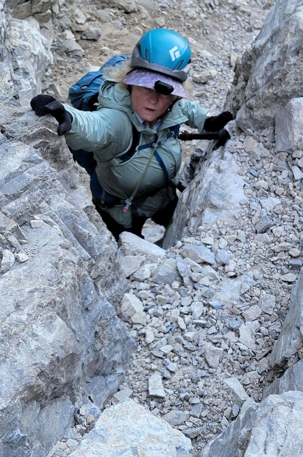
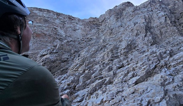
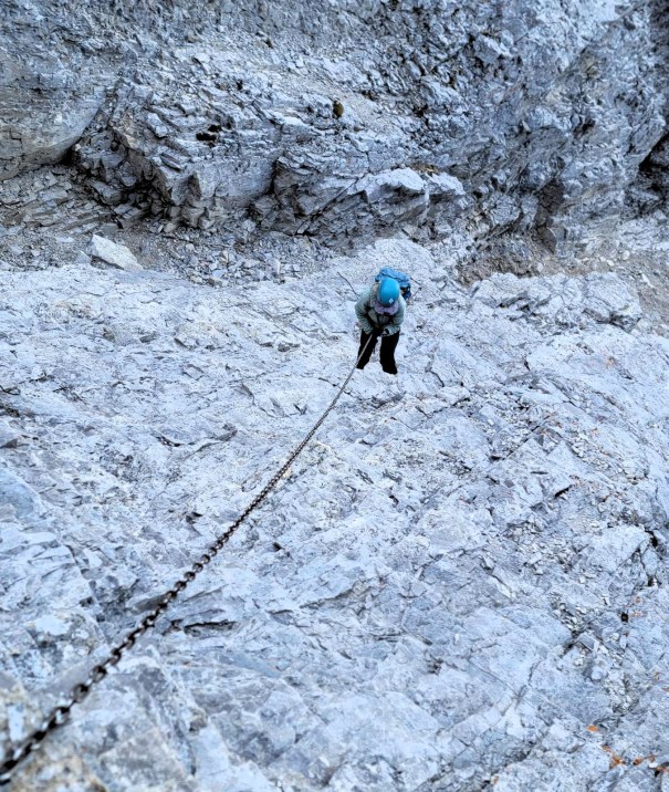
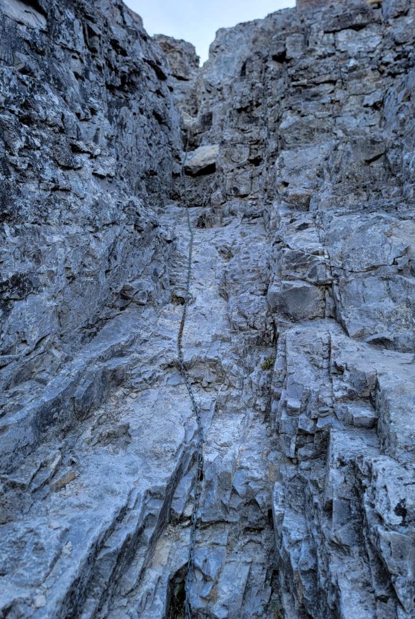
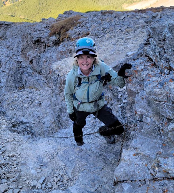
How bad is the gully? Easier going up than down, for sure. Kane rates this a Moderate Scramble. In the words of Bob Spirko, “Not much of a crux with a chain to assist you.” LOL! He’s not wrong, but I can see why they put a chain in. A slip would be painful, and possibly deadly. We had the mountain to ourselves, which meant we were not dodging rock fall or avoid others.
At the top of the gully, the entirety of the scree slope to the summit was above us. I felt like I should have been higher up by now, but there was still a lot of mountain to go. Nothing for it but to trudge on. There is a good trail through the scree, but there is some braiding. We did have to keep an eye on the route, and did double-check the GPS once or twice.
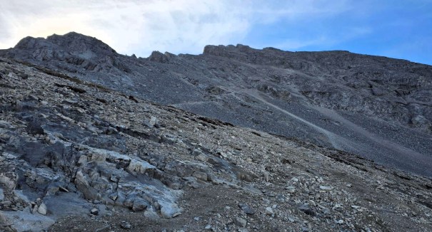
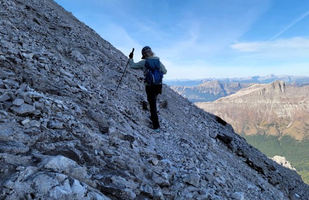
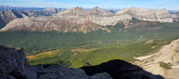
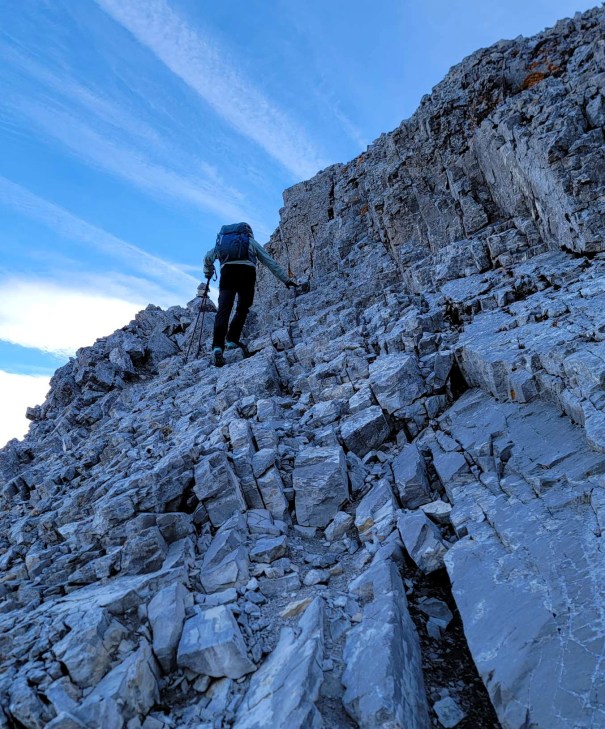
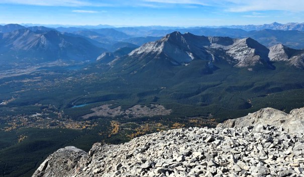
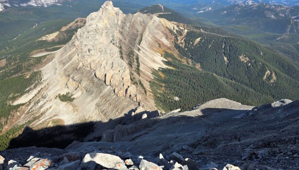
Near the summit, the main trail heads to the left, which allowed us to gain the ridge. This was fantastic as the views down to Crowsnest Pass and the surrounding mountains was amazing. If the wind is howling out of the west, we did see a trail that stayed below the summit ridge to avoid the worst of the westerly.
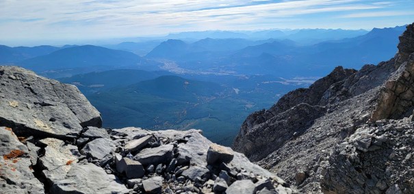
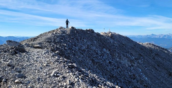
Summit
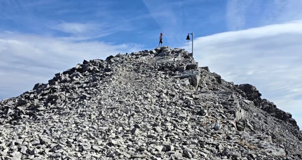
We got a huge surprise at the summit – a BELL!!! Holy! Who brought that up? Hopefully the influencers don’t get ahold of this, otherwise they will be ringing it non-stop. This will no double piss off the locals below, who will promptly come up with a hacksaw and that will be that. I don’t know who put it up here, but I imagine it’s a nod to the old time crow’s nests on ships, when sailors would ring the bell to alert of danger ahead. Be sure to watch the video for the full audio experience.
There are two big shelters, and we took advantage to eat our lunch. As if on cue, a few crows swooped around us, hoping for a morsel or two to drop out of our hands.
Time to summit was around 3 hours, 15 minutes. Distance was 4 km and 1,112 m elevation gain.
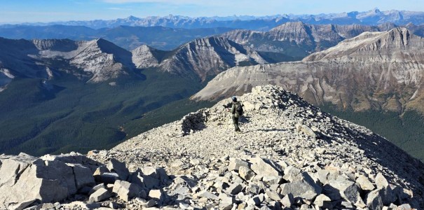
Crowsnest Mountain Return
We got our fill of views, and put on some warm clothes for the descent. It was a nice day, but we hit an interesting thermic wind on the way down. There was a lot of wind coming up the east side. This upslope wind – called anabatic – is due to the valley floor heating up, pushing the cold air up. So while there was no west wind, we got blasted on the east side.
The gully itself was a wind tunnel, and was quite cold. The chains were frigid, but I got better traction with bare hands.
Below the chain, we hiked back down the scree. Instead of taking the wrong turn gully, we stayed skiers right and took the normal route down. There was one short downclimb, which I would have preferred seeing on the way up to suss out. Oh well.
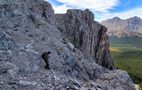
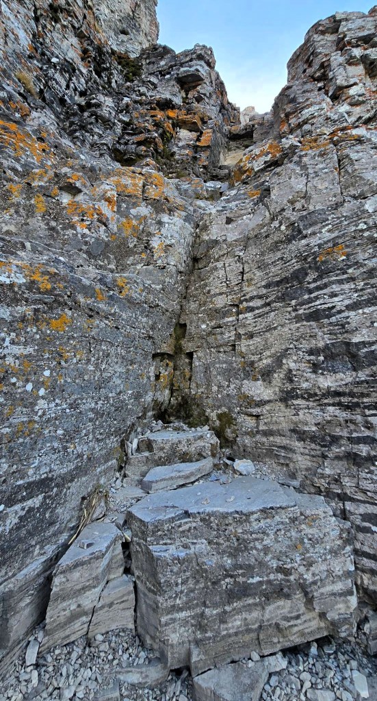
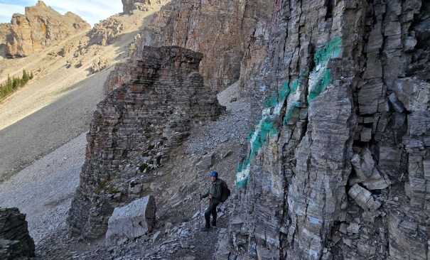
Below this rock wall, we were back on the scree. I stayed to the right, and followed the big green line to the top of the final scree slope. We were hoping for a quick run down, but it wasn’t to be. We would get three or four awesome scree steps, and and then hit a patch of super thin rocks on hardpack. It sent Mike flying at one point.
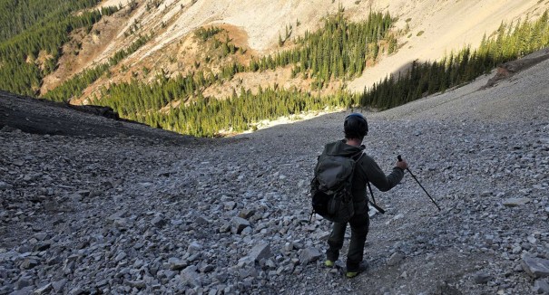
Back at the tree line, we stipped off our warm layers, took off our helmets, and enjoyed the hike back in the sun.
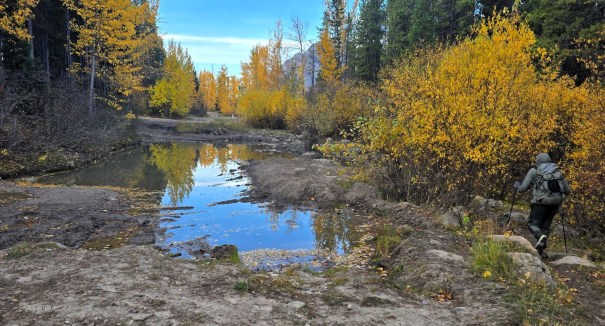
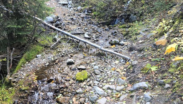
We stopped at the creek a couple of times to cool off and splash water on our faces. Not sure if this runs year-round, or if the recent snow just topped up the aquafer.
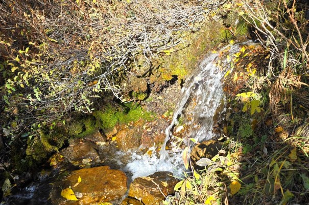
As mentioned in the beginning, we did take the ‘short cut’ on the right, but it was so not worth it. Lots of deadfall, and the creek was braiding the trail. Way slower than just hiking the road.
Wrap Up
Yes, Crowsnest Mountain looks crazy hard from the road, but when taken bit by bit, it is a super enjoyable mountain and an awesome scramble. SO glad I finally did this mountain as it was definitely worth it.
Thanks for reading! You can follow my blog, join my FaceBook page Al’s Adventurers, or follow me on Instagram
Alisen

I love all things mountains! I live next door to the Canadian Rocky Mountains, however I travel the world to enjoy the many different mountain environments and cultures that I can. I hope you enjoy these trip reports, and that it inspires you to accomplish your own adventure goals.


Leave a Reply