November 1, 2026
Finally! I am kinda embarrassed to admit that summiting Mount Ware took me three tries! The first two times were from the closer, Little Ware side. The first attempt was foiled by my then teenage daughter Kayla. Her twin sister was home sick, so she felt she should also stay home. We soon learned the error of our ways and returned without subjecting her (ME!) to more torment.
The second attempt was in October 2020, and we had a lot of fresh snow. Ever the optimist, we thought we could ski it. Nope! After hiking uphill with our skis strapped to our packs, we were rather discouraged. The thought of hiking over to Ware in our ski boots was not enticing.
Solution? Go the long way around! By heading north and going past Volcano Ridge and Surveyor’s Ridge, I would be half way and have no choice but to keep going and nab Mount Ware. It worked, so I am not going to look too closely at the logic 🙂
Gear
Hiking boots, poles and regular day pack kit. Micro-spikes if going in winter conditions.
Overview
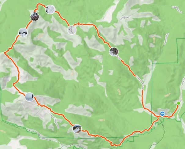
From the Gorge Creek trailhead, follow the trail down and around. At the first T intersection (easy to miss), keep straight. At the next T intersection, go left. At the third T intersection, go left again. Make your way to Surveyor’s Ridge, and then drop down and back up to the next hight point (unofficially called Prospector’s Ridge). Drop down a lot, and back up to Mount Ware. Lose more elevation to the Little Ware Col, then ascend Little Ware. Either return via the col (recommended) or brave the ‘short cut’ ridge. Connect with the Gorge Creek Trail, and follow it back to the first T intersection of the day. Turn right, and return to trailhead.
Totals – Downloadable Tracks on Gaia, Displayed on Strava
Date: November 1, 2026
Group: Two (Alisen & Mike)
Distance: 18.95 km
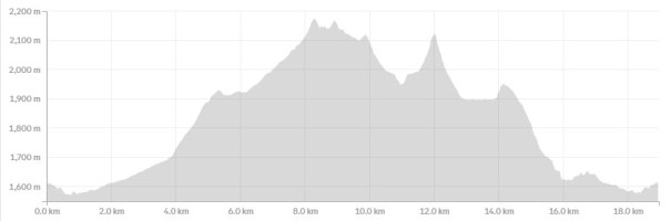
Elevation: 1,044 m (3,445′)
Time: 7 hours 45 minutes (includes lunch and breaks)
Parking and Trail Head
Drive to Sheep River Provincial Park, and turn north on the Gorge Creek Road. Drive 4.3 km to the Gorge Creek Day Use Area. This is a poorly maintained dirt (mud) road. It is narrow and used by big horse hauling trucks and trailers. There are some barriers to prevent you from rolling down the main gorge, but nothing stopping a shorter slide into the steep ditch on the other side.
This road is closed after the day use area and is NOT accessible from the north. The main highway 546 is closed from December 1 to May 15th annually.
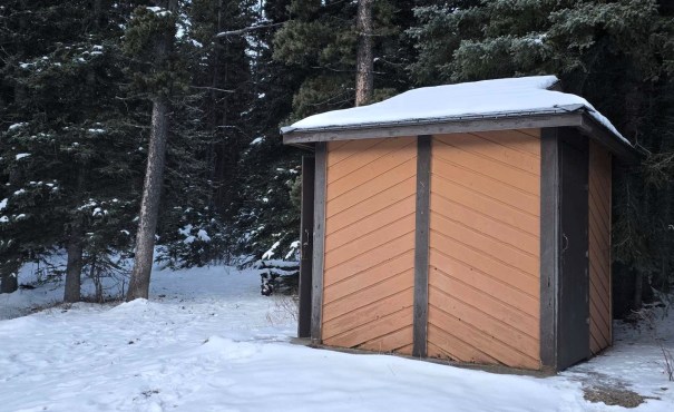
The trailhead has two pit toilets and lots of parking. Please note the horse trailers do need to get in and out, so on busy days be sure to leave space.
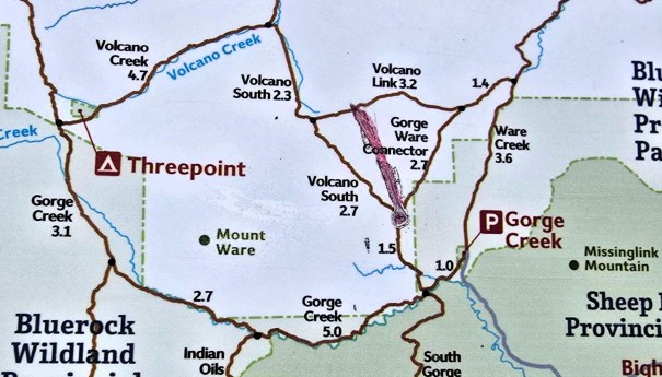
Main Trail
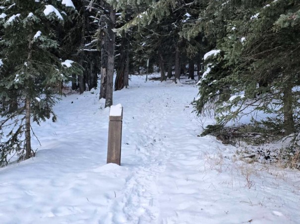
From the Day Use area, we took the main trail that wraps around to the right, and down a big hill. While no wind, it was pretty cold at just a few degrees above freezing.
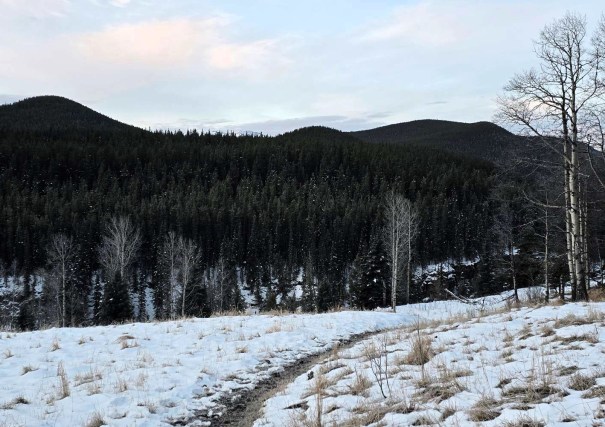
This is a shared hiking and horse trail, which means…deep ruts, high spots, and lots and lots and lots of mud. Other places like Bragg Creek have separated out all the users – mountain bikes, hikers, skiers and horses are all on separate trails. Not so in Sheep River. This is a prime opportunity for a “Friends of Sheep River” to pop up and cut separate trails.
But I digress… The new snow and the deep ruts made our trek very slow going. I used micro-spikes from the start, just to ensure maximum traction.
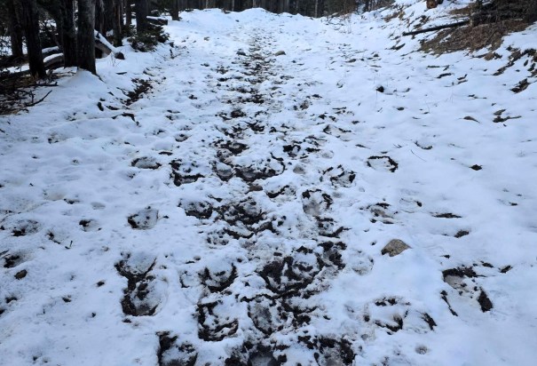
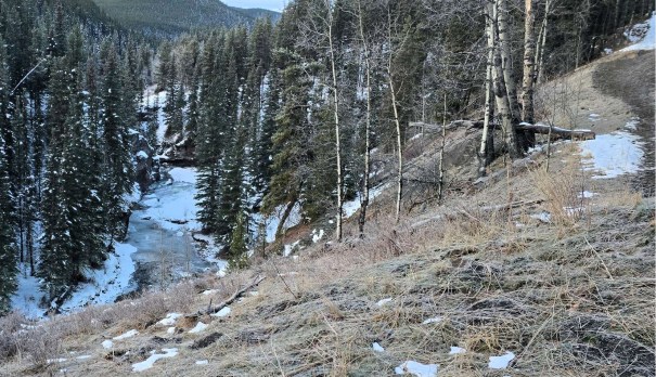
After about 1 km, we came to the first intersection. I went straight (left is the direct route to Little Ware, and is how we returned). This trail leads to Volcano Ridge, which I have done a few times with my buddy Susan and her enormous old hound dog Rico.
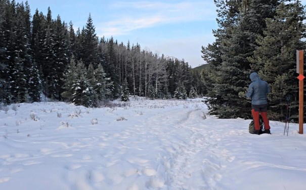
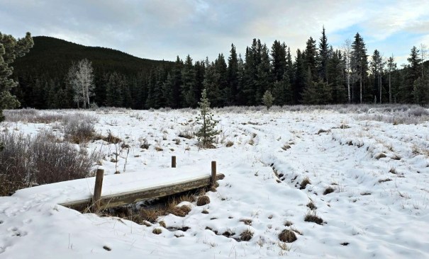
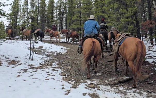
We hiked through a valley, and crossed a few streams (no bridges) and passed several boggy areas (with bridges). At 2.4 km we came the second intersection. We went left to beeline for Surveyor’s Ridge. Now we started to gain elevation and left the muddy horse track behind. But not the horses! About half way up the trail we were passed by a 12 hourse train – four riders, each leading two more saddled horses. We think they were outfitters who were picking up clients left at a hunting camp.
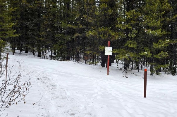
Surveyor’s Ridge
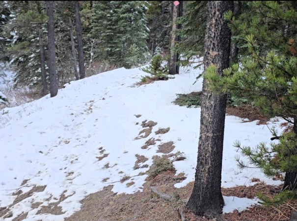
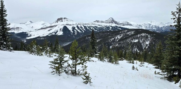
Shortly after turning left, we hit a high point and got our first look at Surveyor’s Ridge, with Mount Ware just popping his head above the horizon. We descended about 30 metres, and picked up the direct Surveyor’s trail (veered left). The horses went right to stay on the Gorge Creek Loop trail.
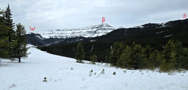
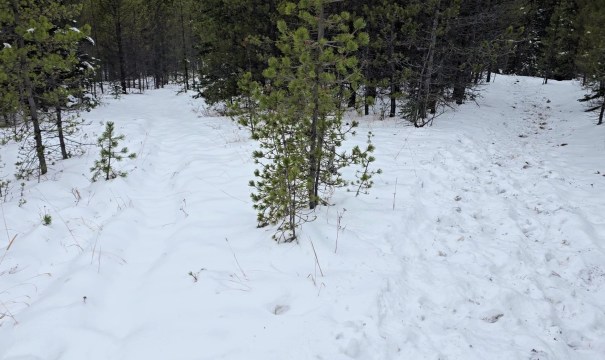
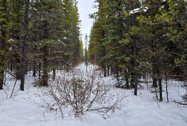
We followed the trail for some time, but as we were breaking trail in the snow, we decided to take a short cut. Instead of a long loop around to the right, we headed directly for Surveyor’s Ridge. This did save us time and distance, but it turned out to be less than ideal…
We followed a packed in set of animal tracks that were going our way. Unfortunately, the tracks also lead to a recent kill. While these bones were picked clean, the tracks going back and forth were very fresh in the new snow. I took a closer look and realized these were cougar tracks. Gulp! The big cat was going back and forth, so we kept a close eye on the trees, had our bear spray handy, and the person at the back had their head on a swivel. We stayed on this track because it was the perfect line to our trail up to Surveyor’s.
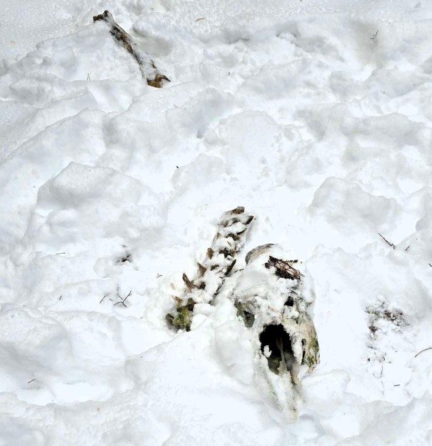
Once back on the main trail, staying on it was difficult as the snow depth had increased to anywhere from 10 to 20 cm (8 to 12″). A simple task in the summer soon became tedius. We wanted to hit the summit of Surveyor’s so left the main by-pass trail and just bee-lined for the summit.
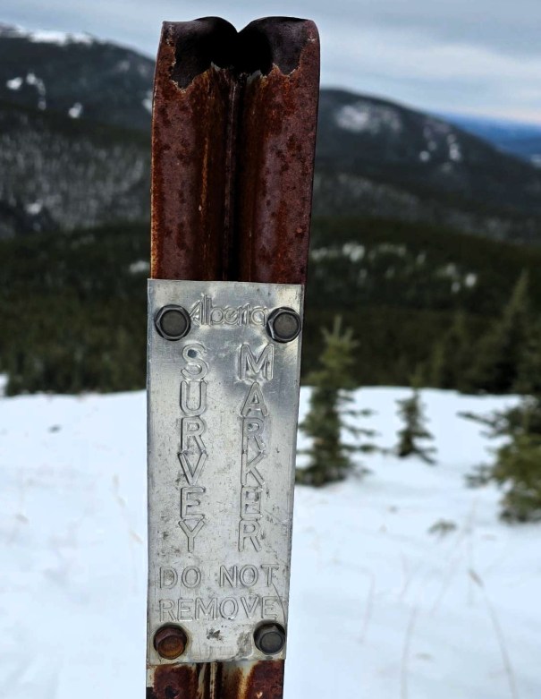
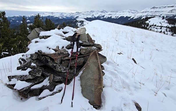
Distance to Surveyor’s Ridge was 8.2 km and took 3 hours even. Total elevation gain was probably around 630 metres.
Mount Ware Summit
We didn’t linger at Surveyor’s and kept going to the next high point. After dropping down from Surveyor’s, we had a clear view of the route to Mount Ware. It was down, then back up to the mid high-point, unofficially referred to as Prospector’s Ridge. From here, we got up close and personal with Bluerock. Mike asked when we were going to tackle that monster, and now I can’t stop thinking about it.
The descent off Prospector’s Ridge is incredible. The terrain changes from treed slopes, to wide open valleys and dips. The ground changes to iron and coal deposits, with nary a tree to be seen. This was such a surprise, and so worth the effort to get back here.
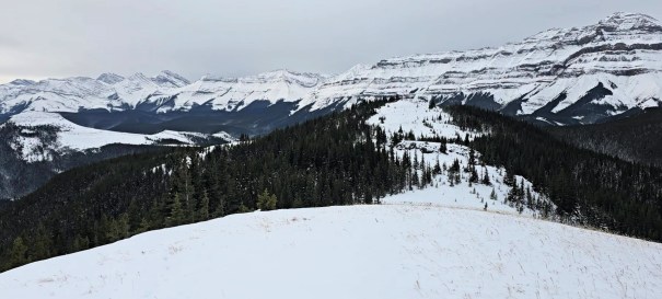
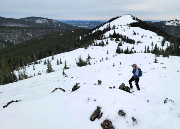
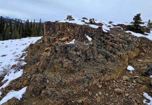
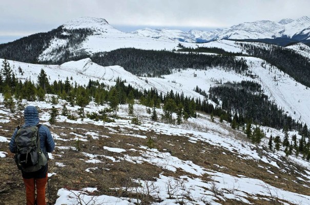
From the low point, we look a direct line to the summit of Mount Ware. The ground changed from grass, to rocks and grass, to large flat rocks stacked up. Near the top, we wrapped around a bit to the left (east) to find a good approach, and gained the ridge on the south side of the summit.
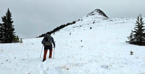
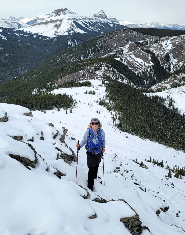
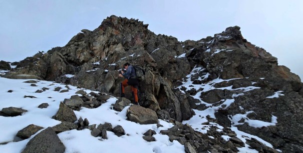
The Mount Ware summit ridge was beautiful! The views were amazing. It was fun to see all the mountains I had already climbed, and a few that were still on my To Do list.
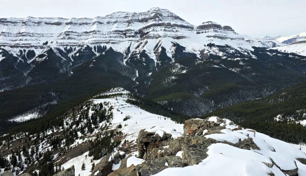
Distance to the summit of Mount Ware was 12 km, with 880 m elevation and took 5 hours. Mike and I were hoping for a full 1,000 m today, so knew we had to also summit Little Ware.
John Ware
Mount Ware is named after noted black rancher John Ware. His family lived and ranched just below this peak, to the north. He was named a National Historic Person is 2022. Read all about him here. Ware is a rare individual, because Canada had very discriminatory immigration practices that discouraged blacks from immigrating, particularly out west. Some were outright denied entry based on skin colour. The week prior, I visited the Canadian Museum of Immigration at Pier 21 in Halifax and read about these discriminatory immigration policies. A shameful time in our history, especially because Ware and his family were very successful in this harsh and unforgiving climate.
Little Ware Summit
From the summit of Mount Ware, we bee-lined it downhill for the summit of Little Ware. Sometimes we were on the trail, and sometimes not. I am sure a good enough trail exists in the summer though.
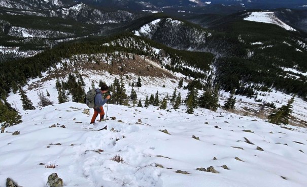
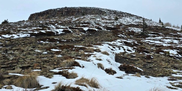
Once at the Little Ware col, we briefly debated just going back down, but pride and chasing that 1,000 m got the better of us. The hike up to the summit was short and the summit was beautiful! So glad we did it a third time.
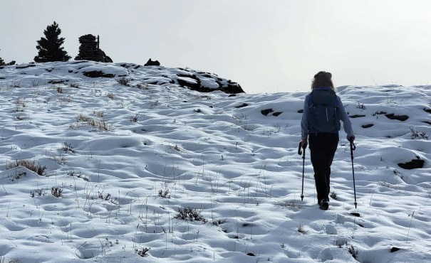
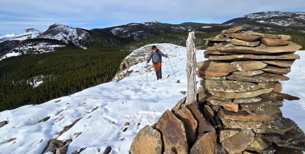
Distance to Little Ware was 14.2 km. This added another ~50 m elevation gain and took about 35 minutes from Mount Ware.
The descent off Little Ware has two options. Option One is to go back to the col, which is the direct and stress-free route back to the Gorge Creek Trail. Or, if you want endless side-hilling and avoiding deep ravines not shown on the topo map, then may I suggest going off the east end of the ridge, and bushwacking your way down. After doing both ways twice, if I ever again find myself on this little mound of misery, I will take the col to return. See the Little Ware trip report for the col descent route.
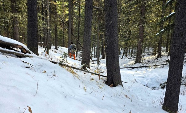
Unfortunately for me, I did elect the Misery Side Hill route, mainly because I didn’t want to tackle the muddy horse trail below. When we did finally hook up with that trail, we found it to be in very good condition. Yes, there were a couple of areas of mud and muck, but only in the blazing sun areas. Most of it was still frozen solid with several cm of fresh snow.
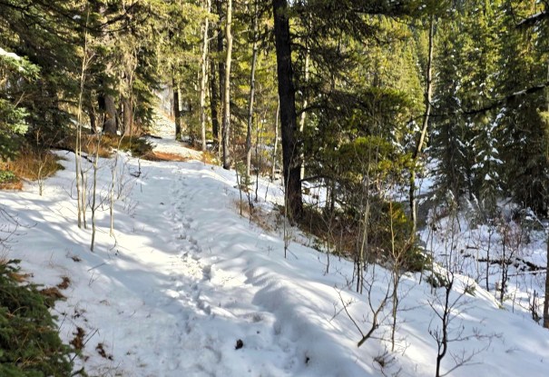
We hiked back to the original intersection (the one heading to Volcano Ridge), and turned right. From there, it was a 1 km uphill slog to the car. This extra bit of elevation finally got us up and over the 1,000 m mark, and we ended with 1,044 m overall elevation gain.
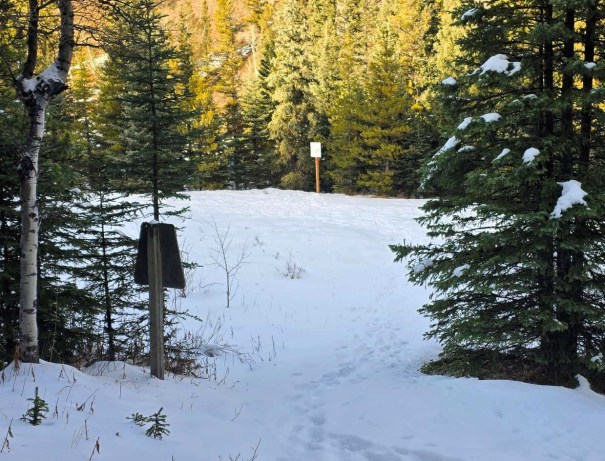
Just as we arrived, the horse train we saw earlier was just pulling out of the parking lot, so we didn’t have to deal with the trucks and trailer. I was maybe still a bit salty about their previous behaviour on the trail. Maybe.
Wrap Up
The Mount Ware summit is a worthy peak in Sheep River Provincial Park, and is seen from several vantage points. I am SO thankful I finally got it done. However, I am MORE happy that John Ware and his family have received the attention they deserve, and we can all share in this history.
Thanks for reading! You can follow my blog, join my FaceBook page Al’s Adventurers, or follow me on Instagram
Alisen

I love all things mountains! I live next door to the Canadian Rocky Mountains, however I travel the world to enjoy the many different mountain environments and cultures that I can. I hope you enjoy these trip reports, and that it inspires you to accomplish your own adventure goals.


Hilarious trip report. It really was like you said. I was there and reading it now, I can’t help myself laughing out loud. It just goes to show, it doesn’t have to be a huge mountain to have an adventure and a great day!!!
So true! Some of the easiest hikes in the closest locations can turn into epics. Can’t underestimate a day in the mountains. Glad you found it funny. Hopefully others do as well!