May 27, 2022
My buddy Sonya was in training for an eight day bike pack trip. She had just done 7 rides in 6 days, and had two more massive gravel rides to come. I needed to find a hike that ticked these boxes: a short hike, close to home, and dry. With the late spring and heavy snowpack this year, we didn’t want to add to trail erosion. Exshaw Mountain was the answer.
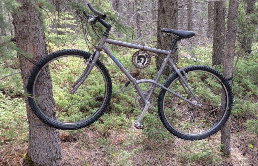
Once we started hiking, we quickly realized that this is an active mountain biking trail. Not a problem! We only saw two cyclists heading up, and two coming down. While hikers technically have right of way over cyclists, as we are cyclist ourselves and know just how hard it is to start after stopping on an uphill grind, we had no problem pulling over and letting the cyclists go by.
Gear
Hiking boots, poles and regular day pack kit. If going in the winter, add in gaiters and microspikes.
Overview
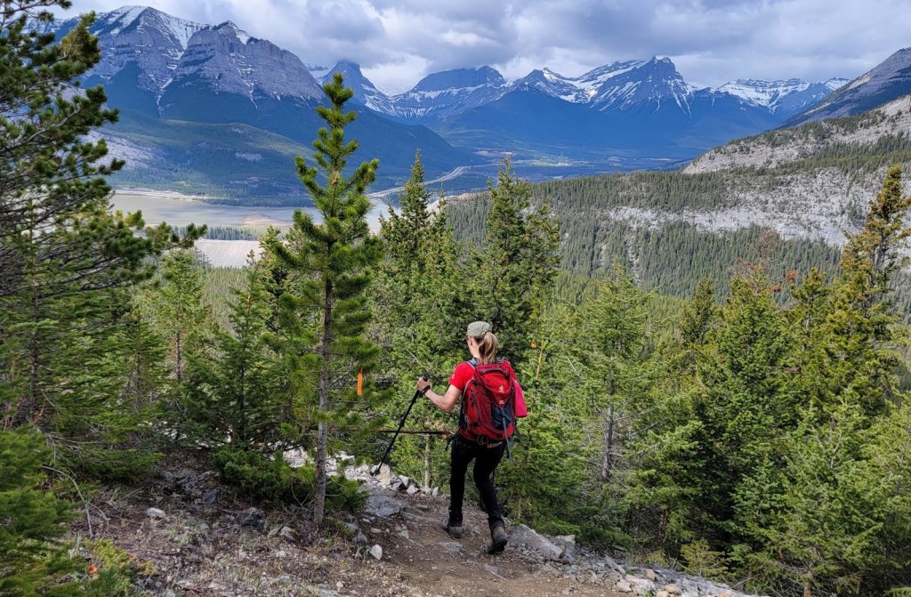
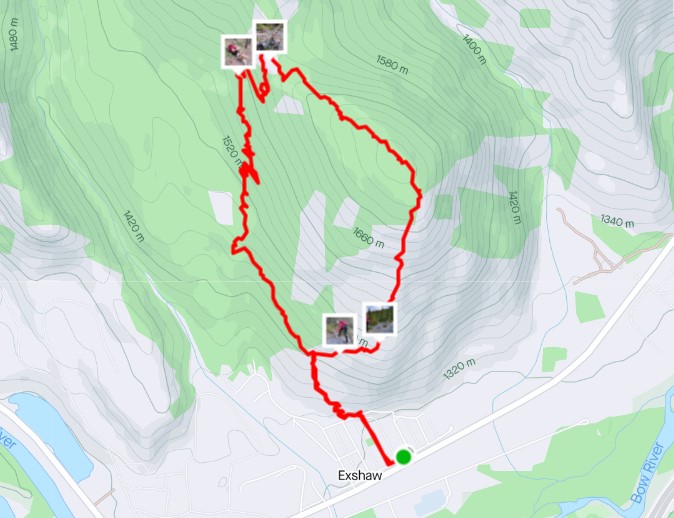
From the trail head, hike straight up the mountain. At the T intersection, either turn left for the longer, laid back traverse approach, or turn right for the shorter, straight up approach. I went right. At the summit, we traversed across the top of the ridge, and descended on the alternate traverse trail to make a loop.
Parking and Trail Head
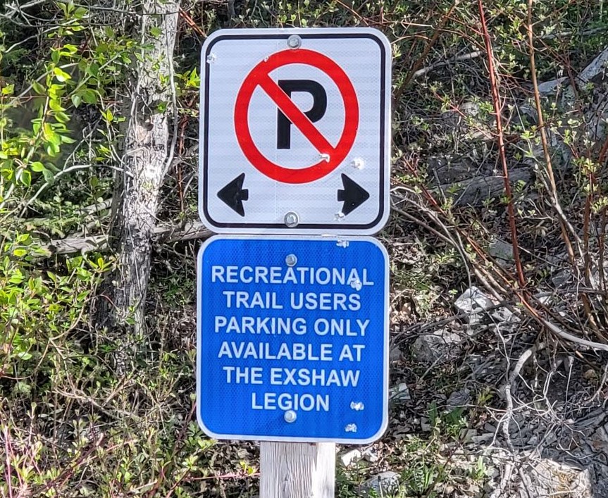
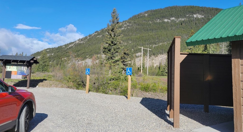
Parking is NOT at the trailhead. There is a sign asking people to please park at the Royal Canadian Legion. This is not a day use area. Instead, we stopped at the Jura Creek parking lot and used the toilets there.
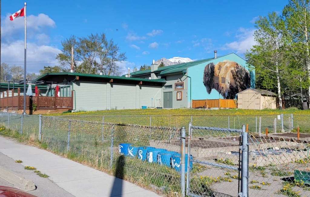
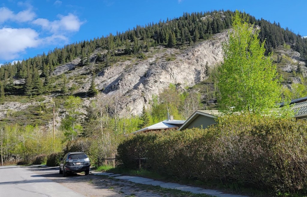
From the Legion, we walked down a side street, directly towards Exshaw Mountain. We entered the first trailhead we found, and then turned left to parallel the road. We could have stayed on the road and entered the trail a bit further on.

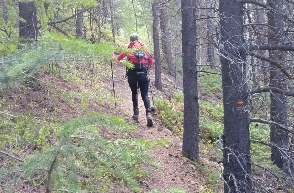
Main Trail
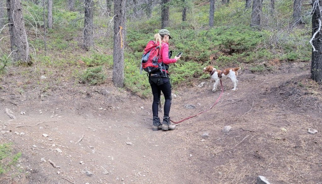
Once the trail starts ascending, it doesn’t let up. We chose to take the direct, steeper route up, and the mellower traverse back down. Why? It’s easier on the knees to come down a less steep slope, and Sonya has her dog Pyro, who pulls on the downhill.
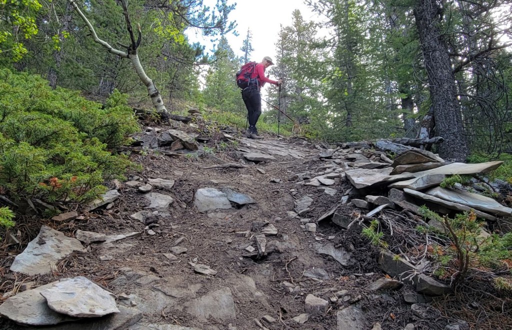
The main route decision is at the T intersection, about 1 km from the Legion parking lot. Left is the mellower ascent, and Right is the steep and quick. We went right. This area is flagged, and well signed, including a helpful note that it takes about 1 hour to reach the summit going to the right.
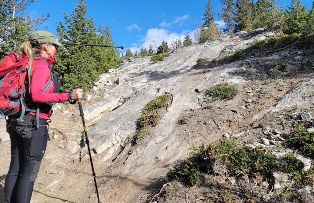
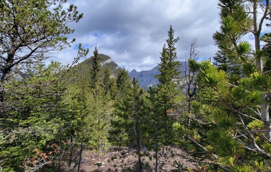
From the T intersection to the summit, it was one long uphill push, and it was all in the trees except for one open spot. Be sure to turn around here and admire the view, because it’s the best spot, even better than the summit.

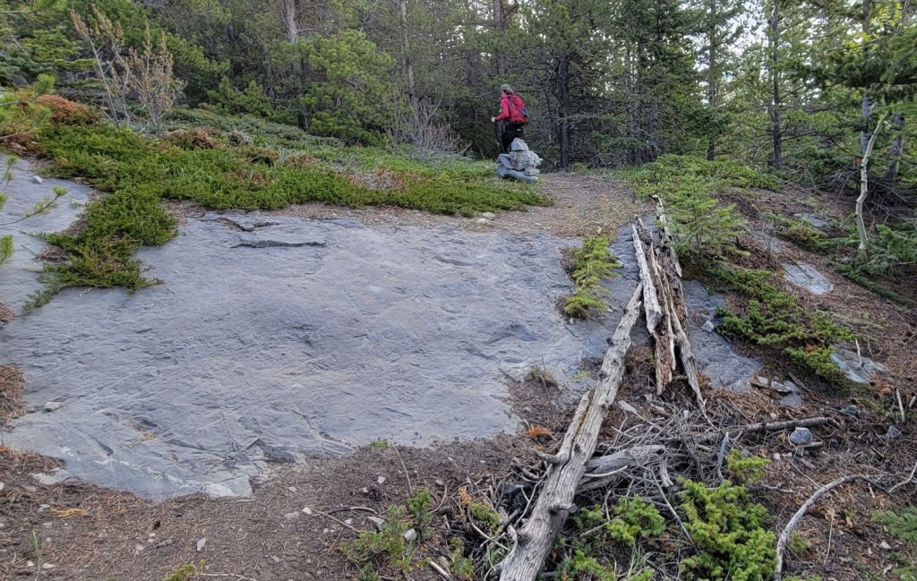

All of a sudden, we came across the famed shovel and summit cairn. There was a freshly placed summit register. While it wasn’t pink, it still had the unicorn and rainbow stickers, so I can only assume it was Ephraim Roberts.

Distance to summit from the Legion parking lot is 2.6 km. Elevation gain was 480 m and time to summit was 1 hour 10 minutes.
Exshaw Mountain Return
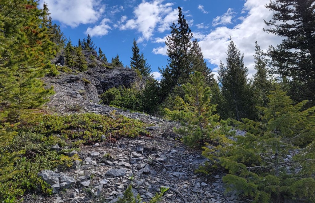
We decided to do the loop, and continued past the Summit Shovel along the top of the ridge. Here we found a little clearing with benches. When I checked my GPS, this was likely the ‘true’ top of Exshaw.

As we traversed across the top of the wide ridge, the trail was rather faint in spots. Indeed, there are two routes up here, and I we were on the upper, less used one. There was some flagging, plus good old fashioned dead reckoning to stay on target. There was one quick ‘down and up’ section.


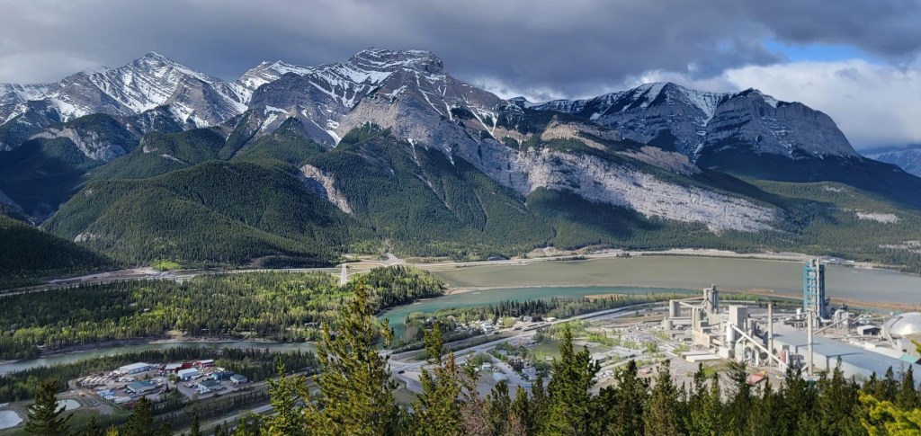
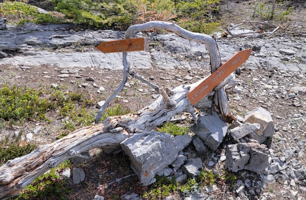
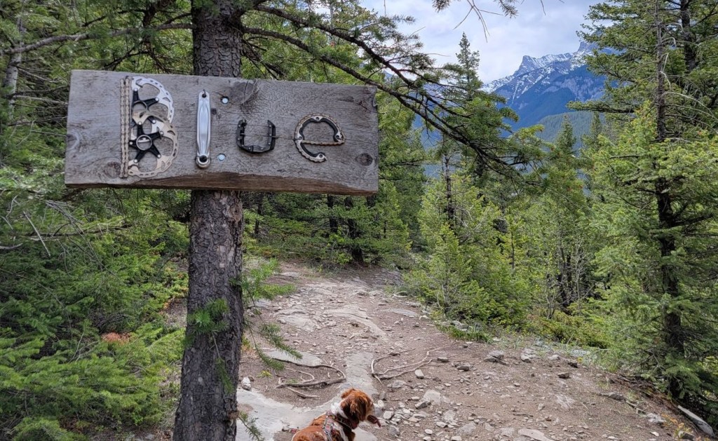
We finally hit an open spot, and found the best trail signs evah! This is where we left the ridge, and started the descent on the long traverse back to the trailhead. It takes a bit longer, but A) it saved my knees, and B) we found some awesome artwork.
It was here, on the descent, that I finally saw Sonya crack. After riding for 6 days straight, and practically running up Exshaw mountain, Sonya was Done. She sat down and refused to move until she had a good snack and a drink.

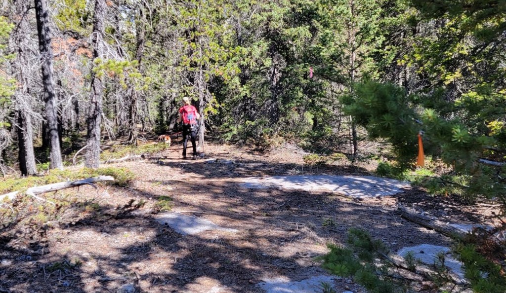
We had one final navigation decision when we came to our second big T intersection. This time, we went left. We were now on the trail that would take us back to the original T intersection. We turned right there, to continue the descent to the trail head.

Exshaw Mountain was the ideal quick hike. It was close by, and nicely dried out when other mountains were still snowbound.
Thanks for reading! Please do me a huge favour and click the Star button to “Like” it. You can also follow my blog, join my FaceBook page Al’s Adventurers, or follow me on Instagram
Alisen
Totals – Tracked on Gaia, Displayed on Strava
Date: May 27, 2022
Group: Two (Alisen and Sonya)
Distance: 8.1 km (measured from Legion parking)
Elevation: 480 m (1,584′)
Time: 2 hours 45 minutes (includes the “6th Sticky Bun” break)

I love all things mountains! I live next door to the Canadian Rocky Mountains, however I travel the world to enjoy the many different mountain environments and cultures that I can. I hope you enjoy these trip reports, and that it inspires you to accomplish your own adventure goals.

I enjoyed this post very much. The photos are gorgeous! What a beautiful place!
Thanks Dawn. I think every mountain has something beautiful about it.
Another beautiful trail👀💕 It’s such a nice excursion👍
Thank you. It was a lovely short hike for anyone in the area.
‘Sticky bun break’ 😀 … for a moment there I read that as ‘sticky bum break’, and wondered what she’d sat in! 😀
Ha ha!!! Let’s just say “been there, done that” too 😭
I was thinking of you when I wrote about the Sticky Bun. Thought you’d enjoy the roundabout explanation 😉
Nice post🤠
Thank you sweetie 😘
Of course you would opt for the more challenging route that’s steeper! I’m with you though, I’d rather deal with the steep sections on the way up than down. I loved your reaction to the contents in the summit register.
OMG! It’s like Christmas on every summit!!! So thankful there are creative and funny people out there willing to lug up a heavy box of presents for people they will never meet! 💗 Mountain Folk 💗
Oh for sure. It’s kind of fun not knowing what you’ll find!